Plaine Morte to Les Violettes Hike
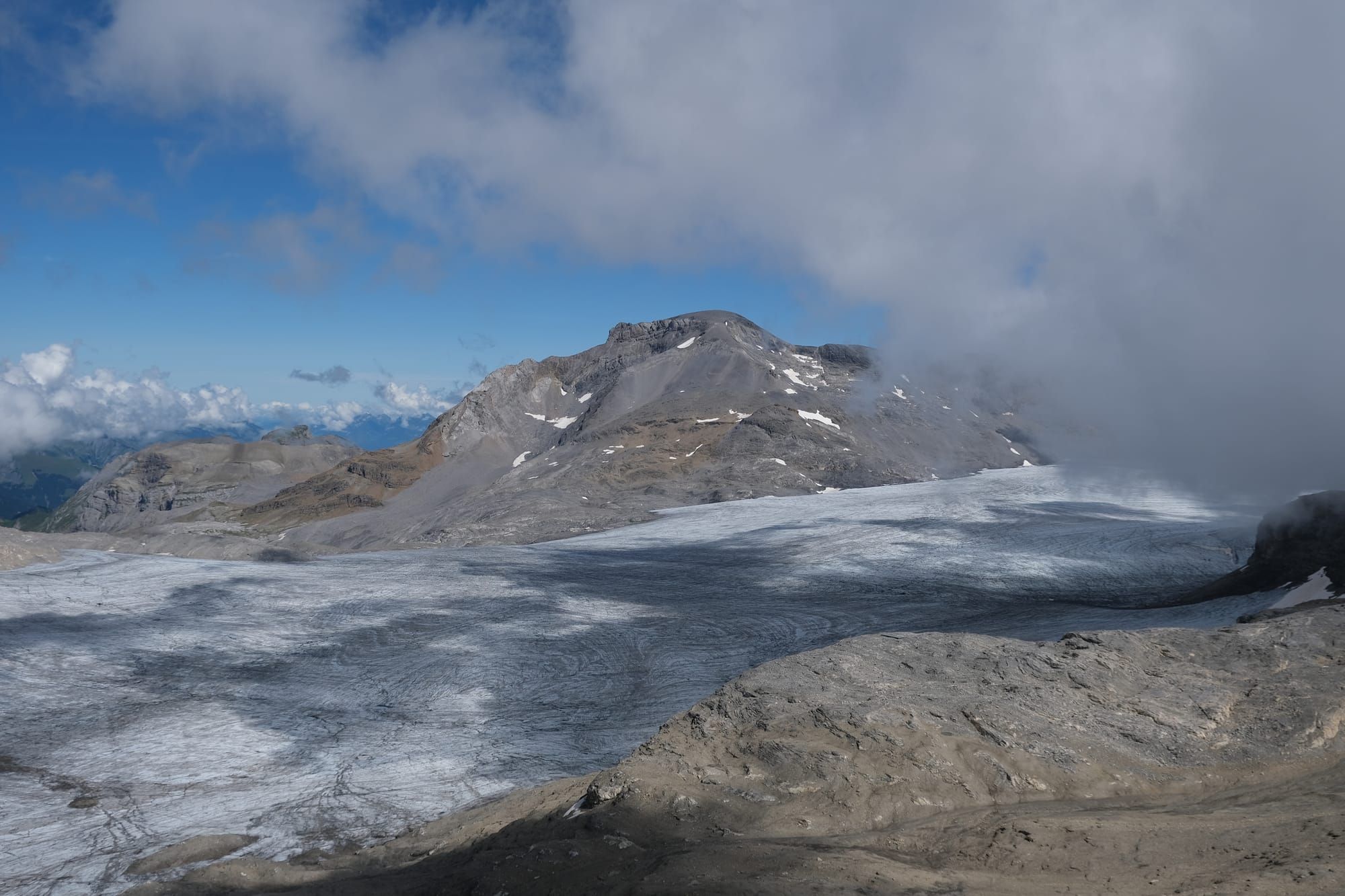
In my first week at Crans-Montana I went to the tourist information centre where I acquired a map of the suggested hiking routes in the region. From the attendant I learnt that some of the ski lifts are open in summer for hikers. They told me that the cable car to the highest point would be finishing its summer service that very weekend. So I decided that would be my first hike in Crans-Montana.
Many of the hikes in Switzerland often start at the top of a lift and then descend down the mountain. This trail had the highest starting point of any of the suggested hikes in Crans-Montana. To get there I took a gondola and then a cable car. The gondola carried me from Montana halfway up the mountain to the Violettes hut, which is also the finishing point of the hike. From there, I took a cable car to Plaine Morte at 2,927 meters, a new personal record for my highest non-flying elevation. Not far from the cable car station is a view point overlooking the Plaine Morte glacier. This was the first of many glaciers I would see in Switzerland, and I was fascinated with every single one of them. From the glacier view point I hiked down past Lake Huiton, then across a steep mountain slope, and finally crossing a high altitude meadow before returning to Violettes cabin.
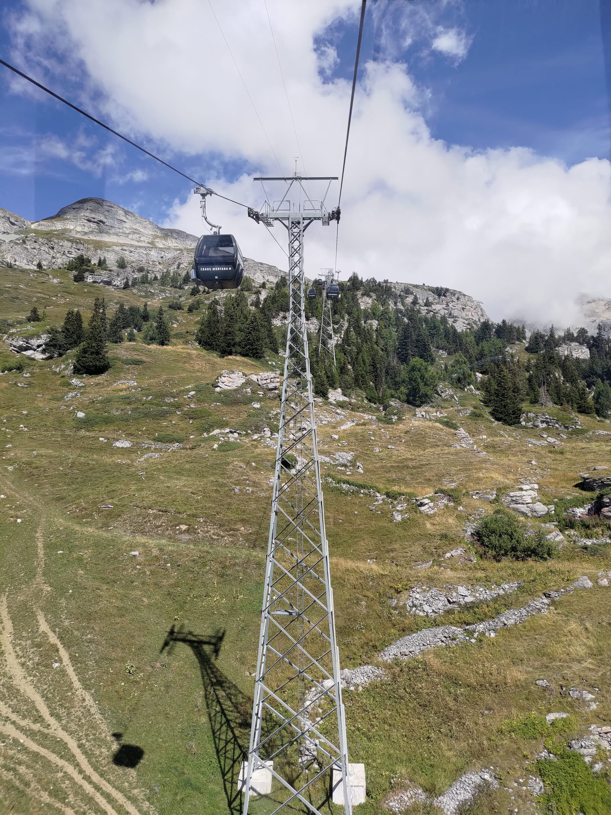
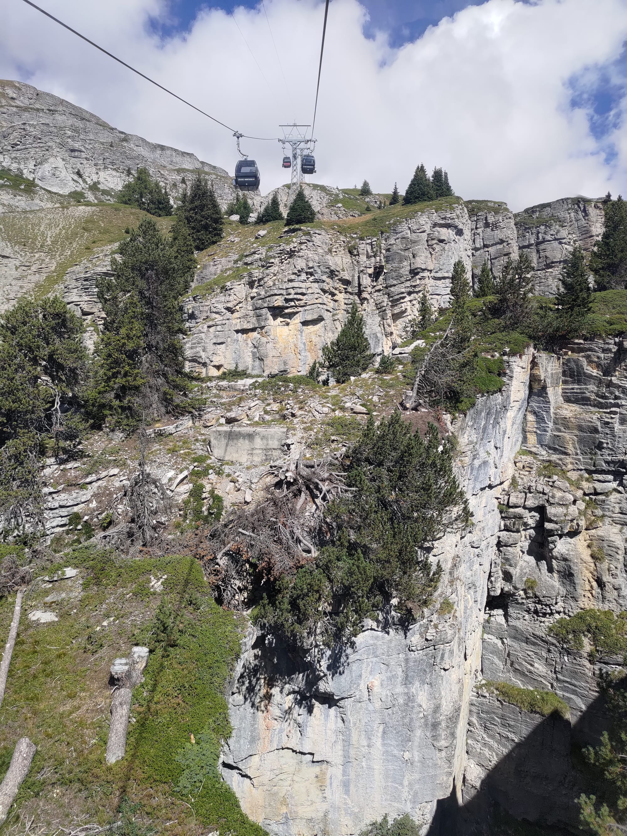
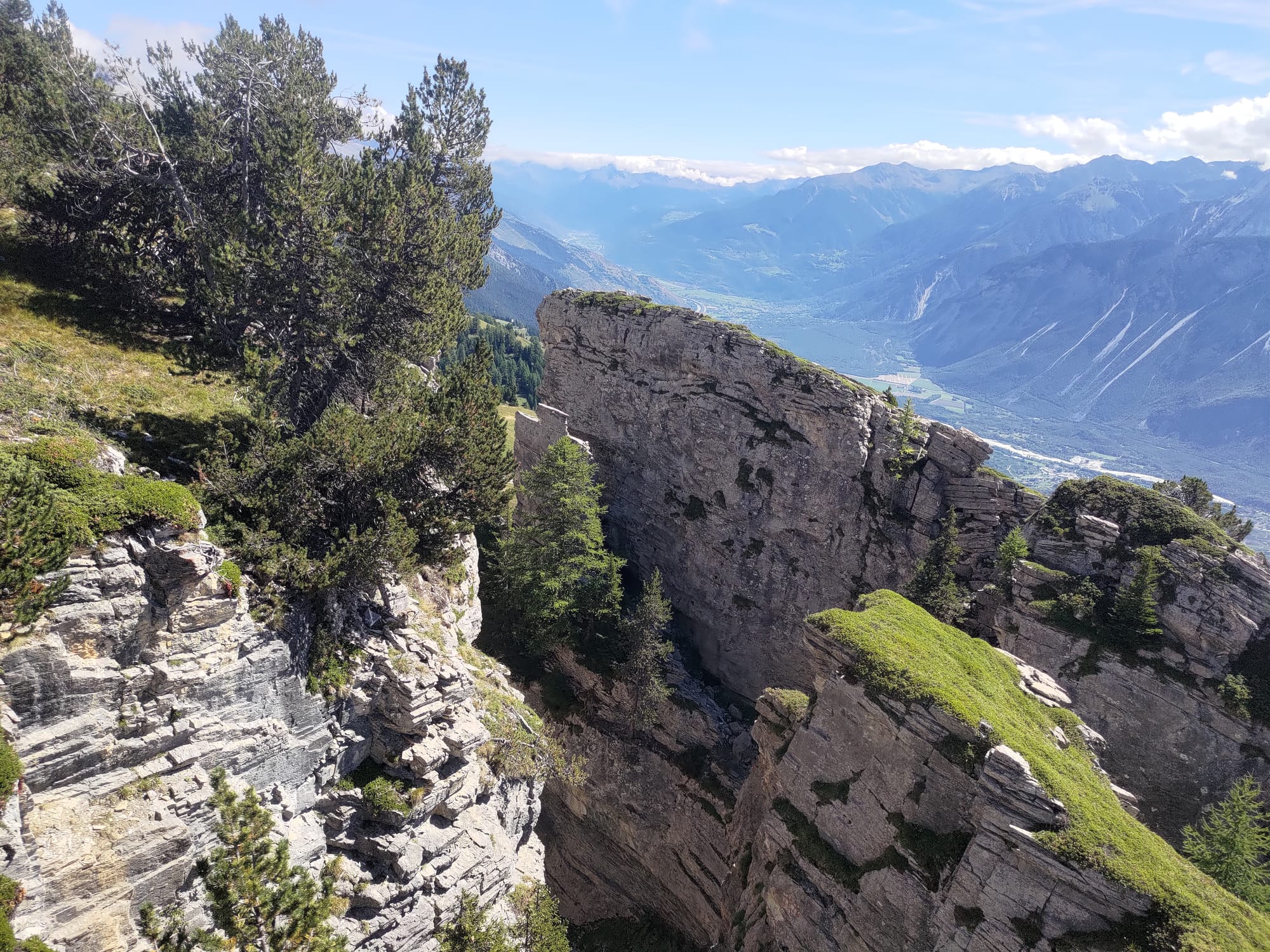
Some pictures from the gondola ride up to Violettes cabin. There was a section of mountain slope that looked like it had been broken up by a giant hammer leaving great chasms and rocky pillars. The best picture of this is the rightmost (last) photo.
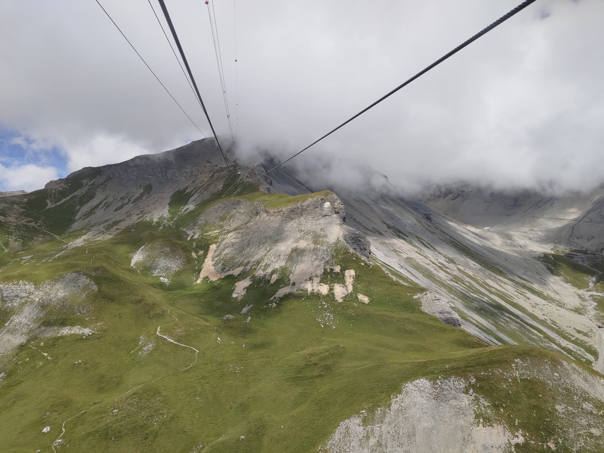
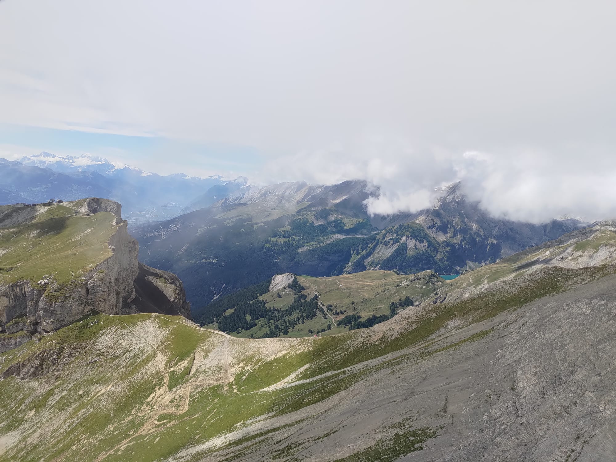
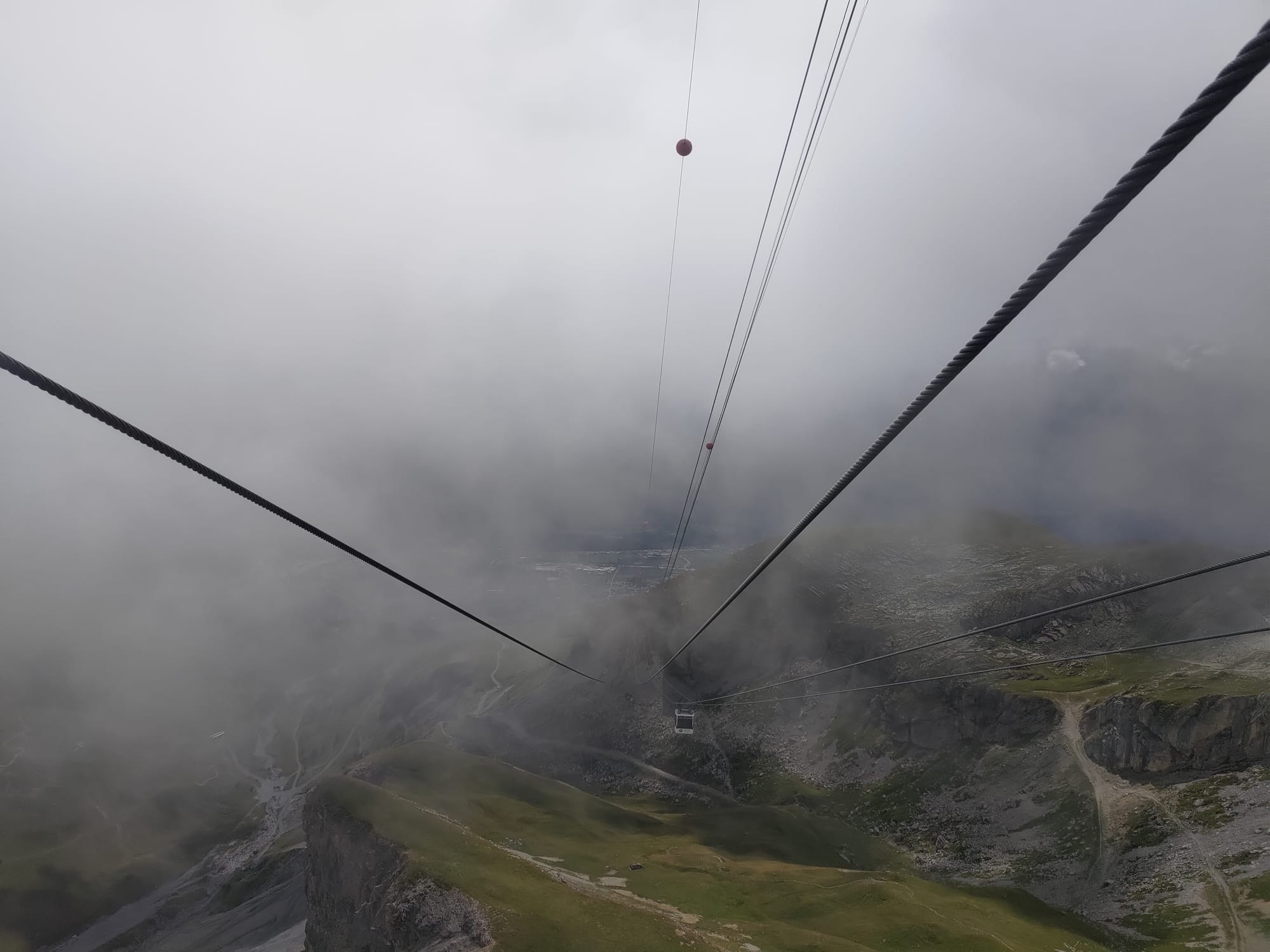
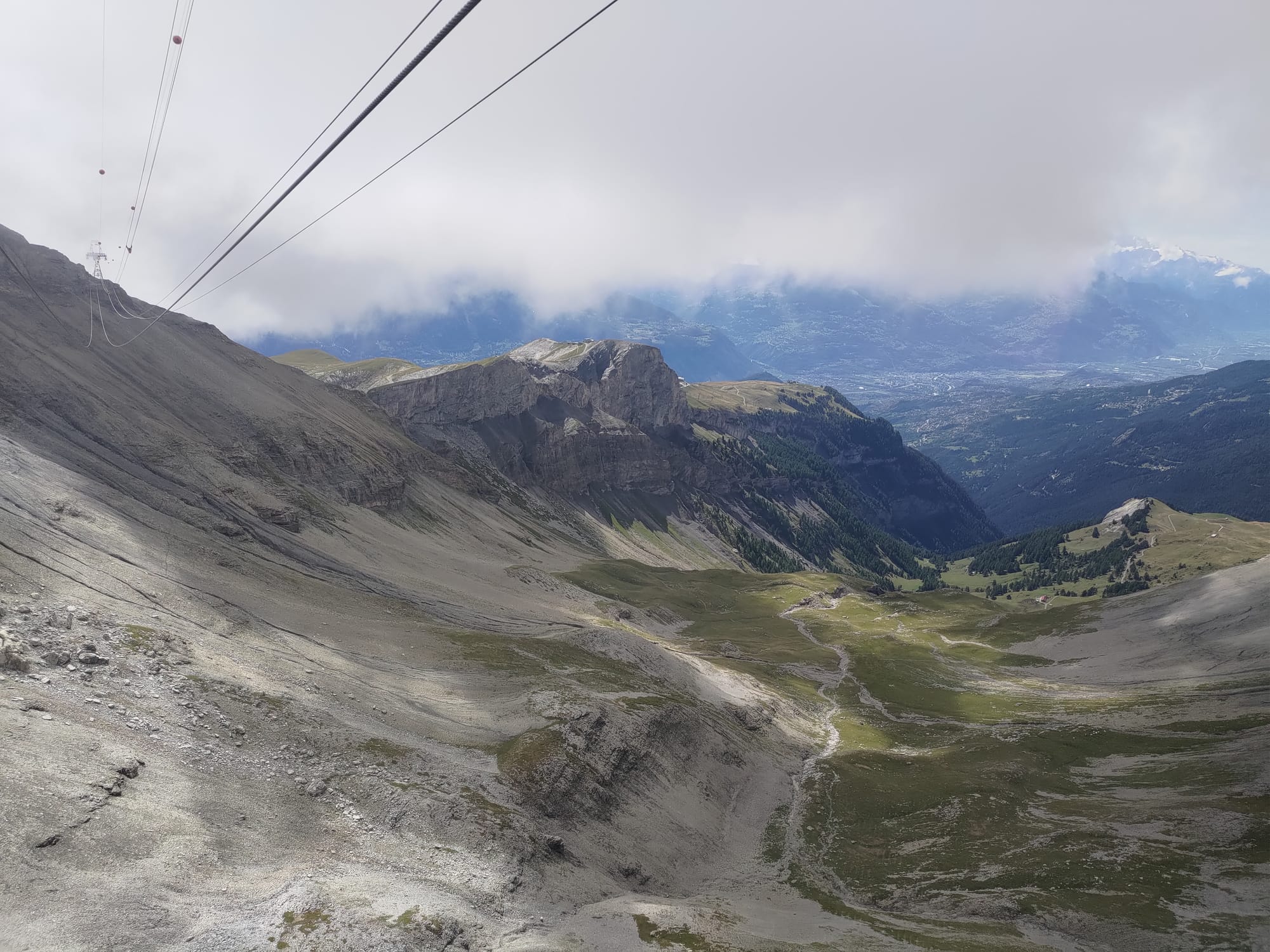
Some photos taken on the cable car ride up to Plaine Morte. The views were fantastic on this ride. Early on I could see some mountain trails, one of them being the path I would later walk down, and we passed through a cloud near the top.
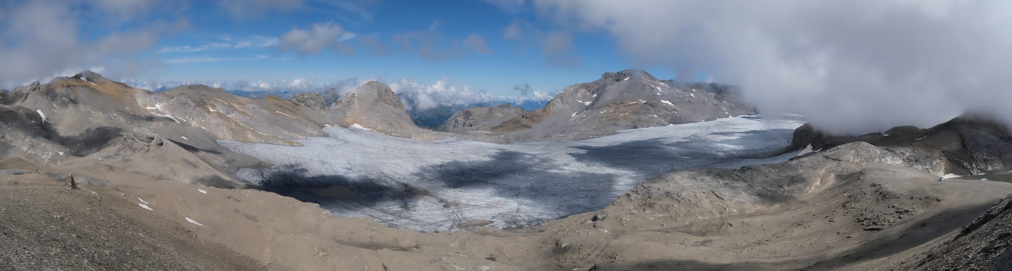
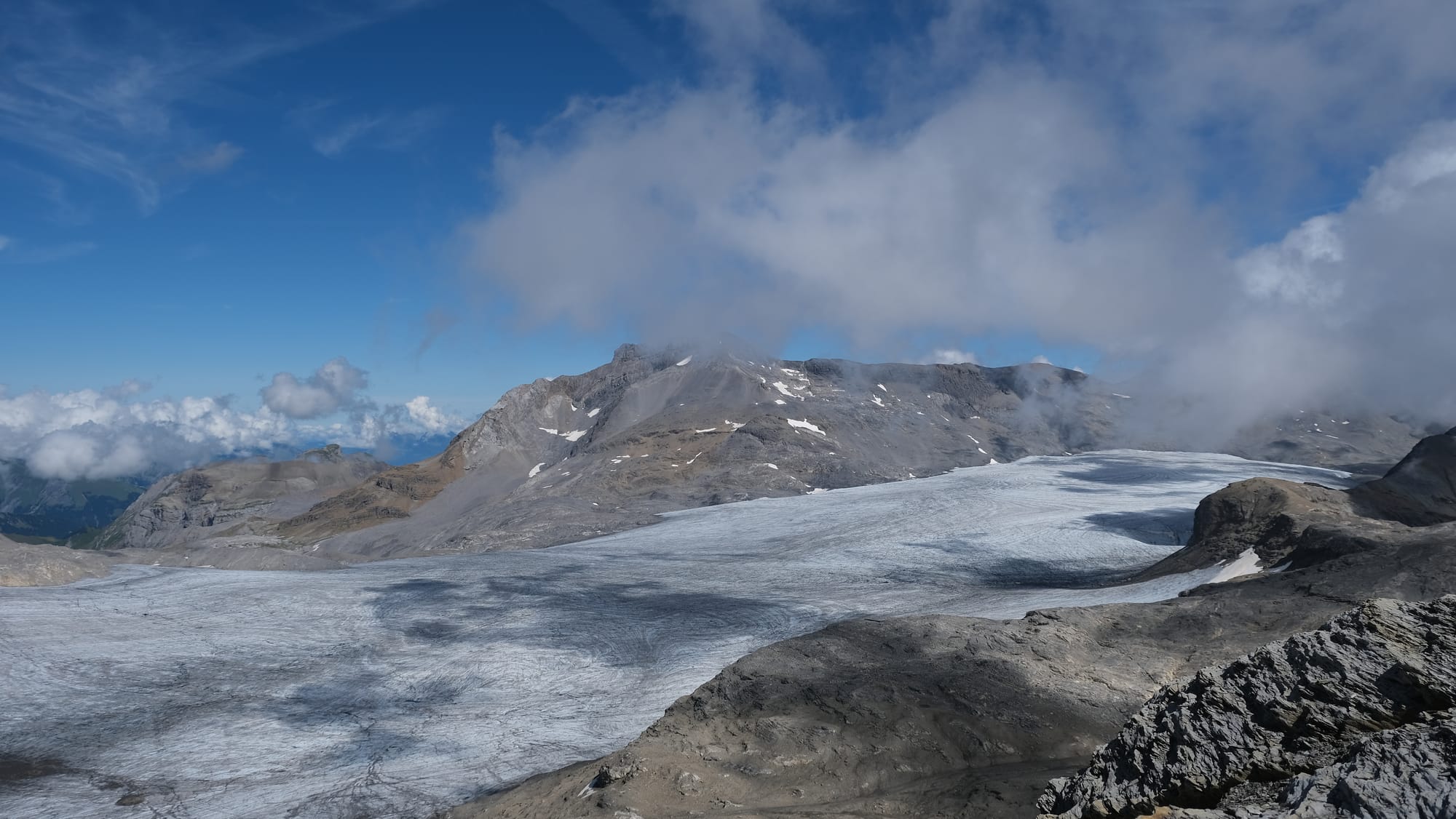
I was fascinated by the flow of the clouds over the glacier. I took this time-lapse with each frame having 2 second intervals for a period of 10 minutes.
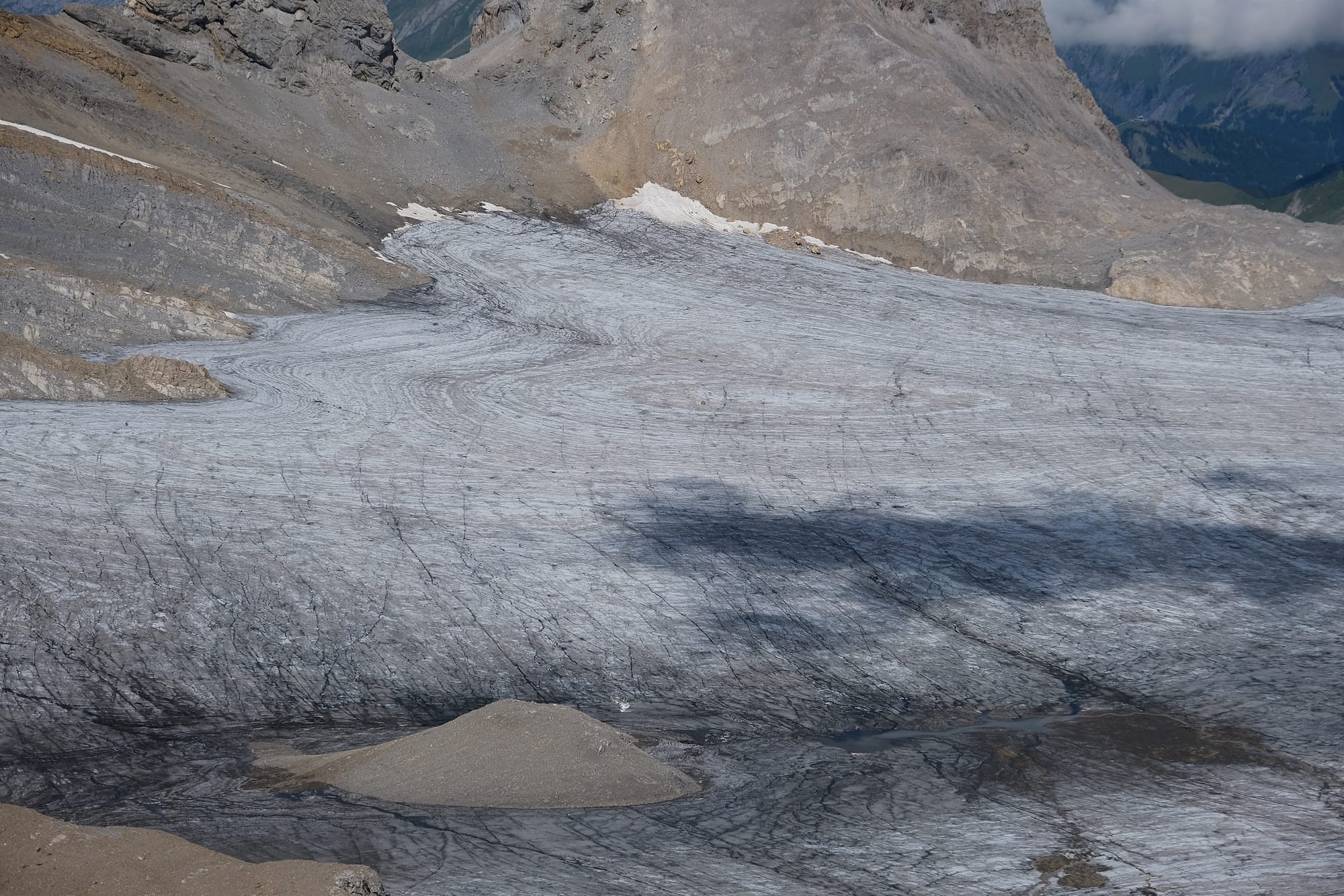
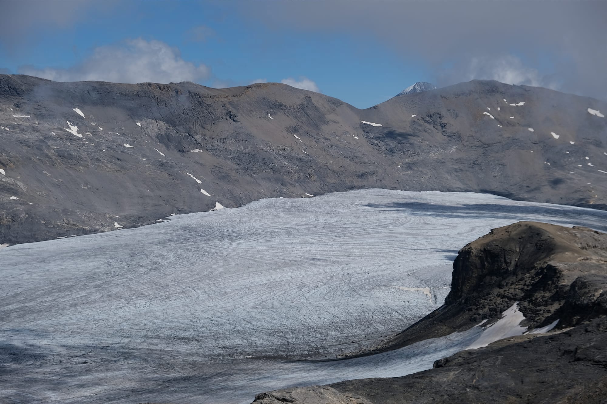
Some close ups of the glacier, the surface has noticable swirling patterns and I wonder if this is an indication of how the ice is flowing within the glacier.
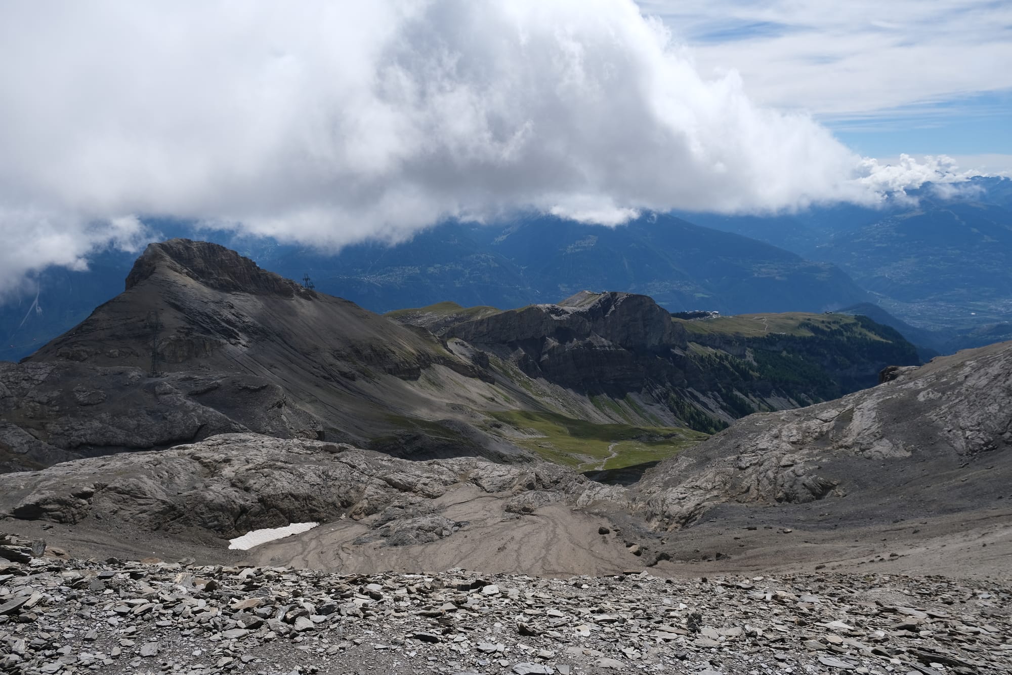
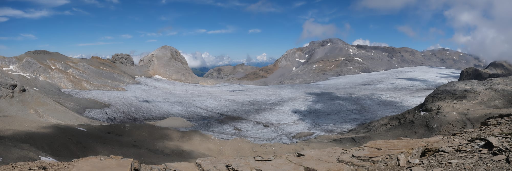
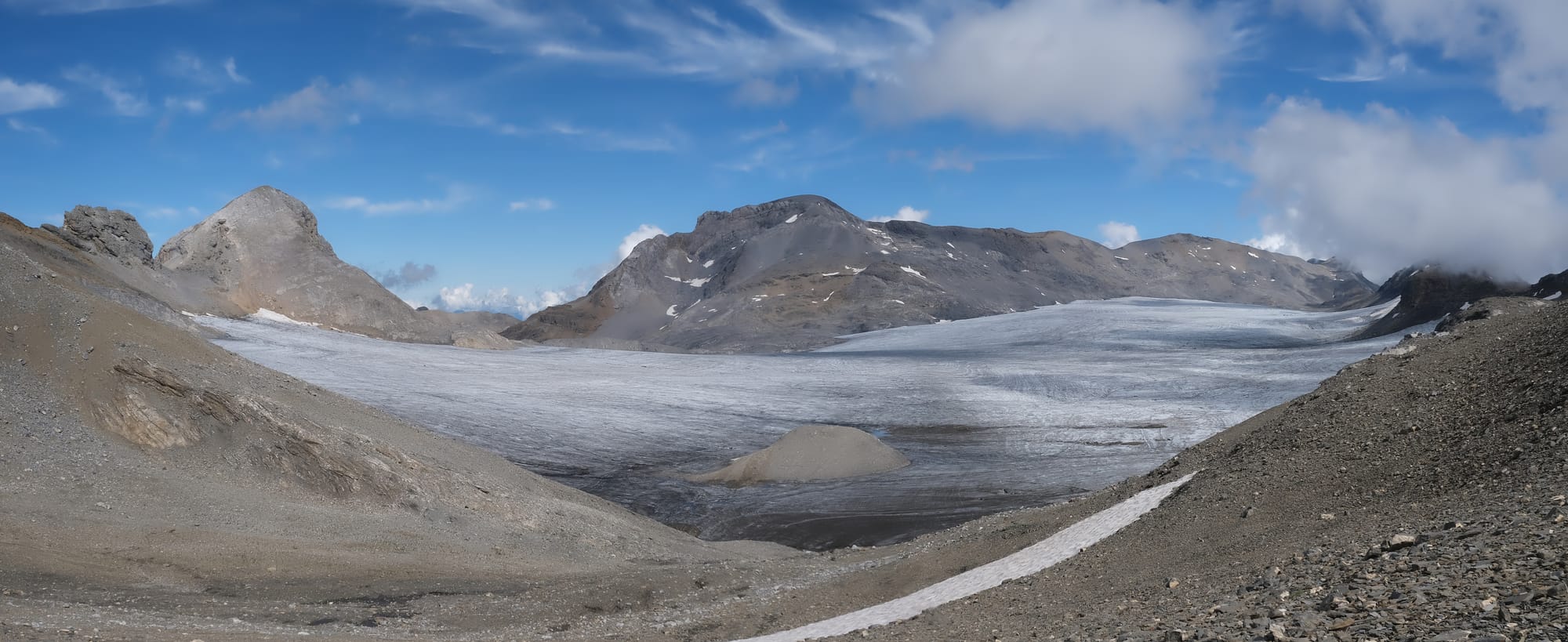
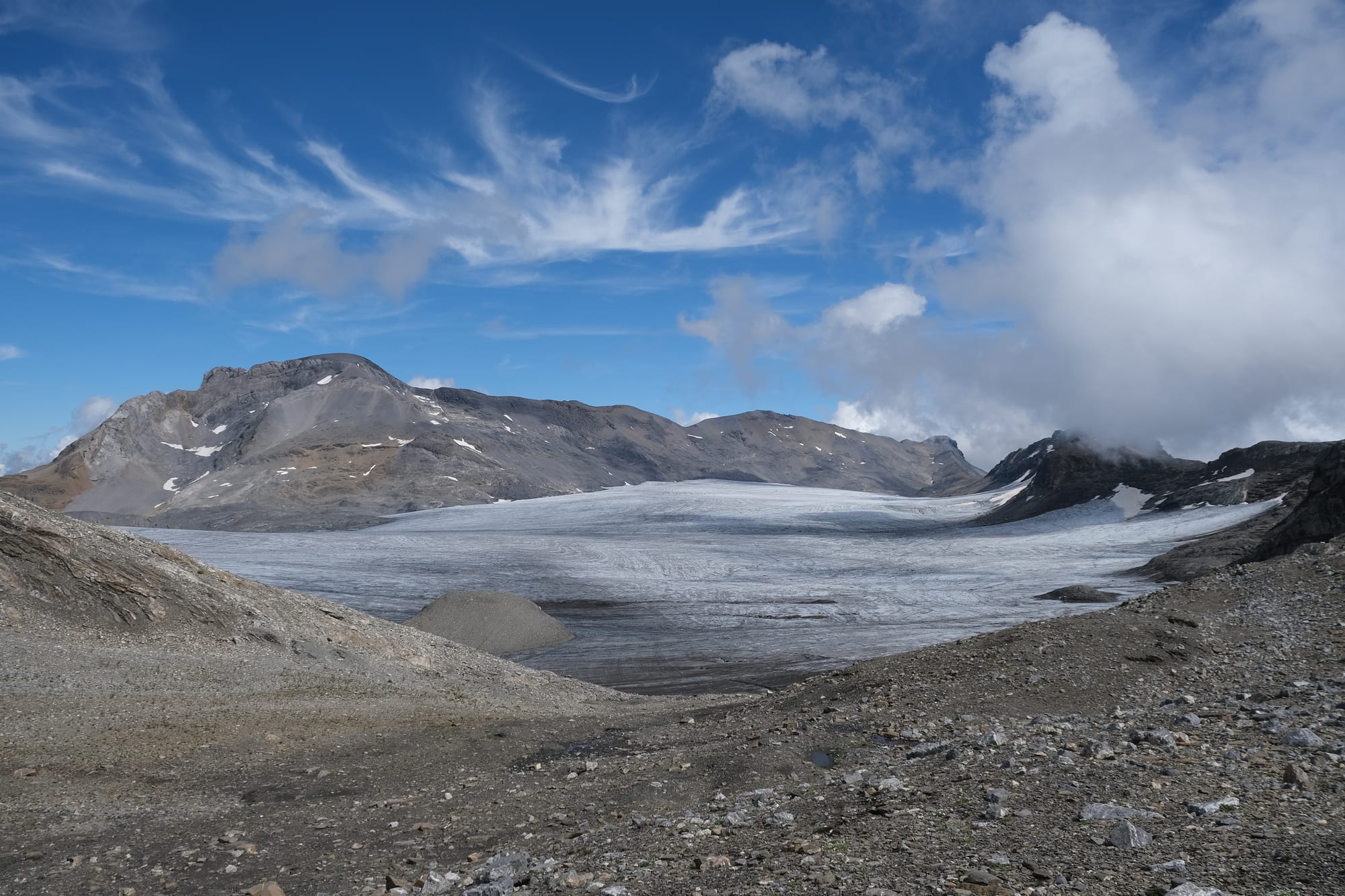
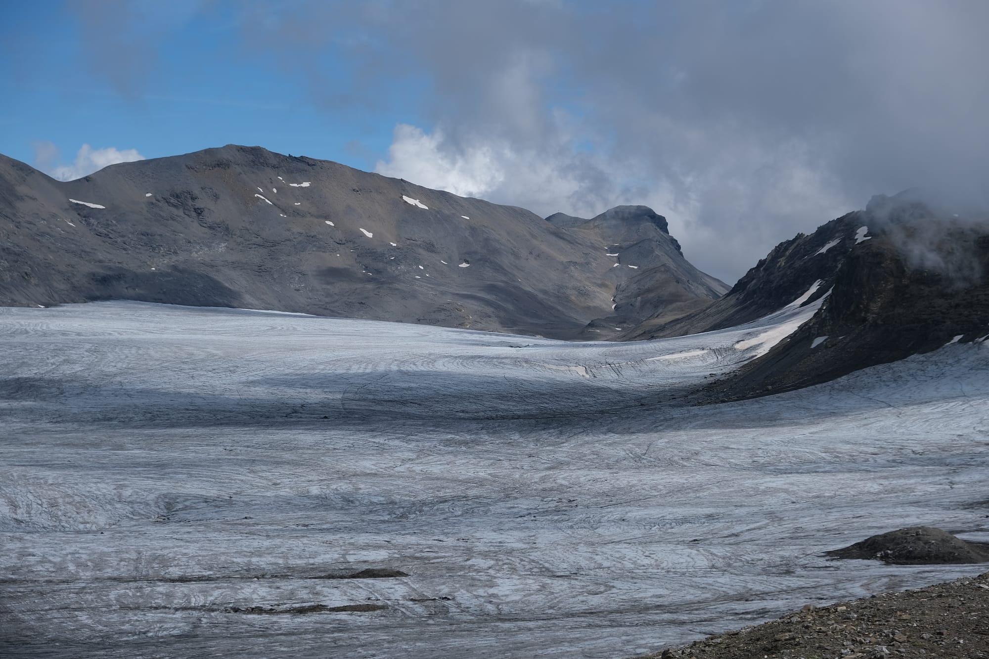
My last view of the glacier. From here the hiking trail turned left, away from the glacier and further down the mountain.
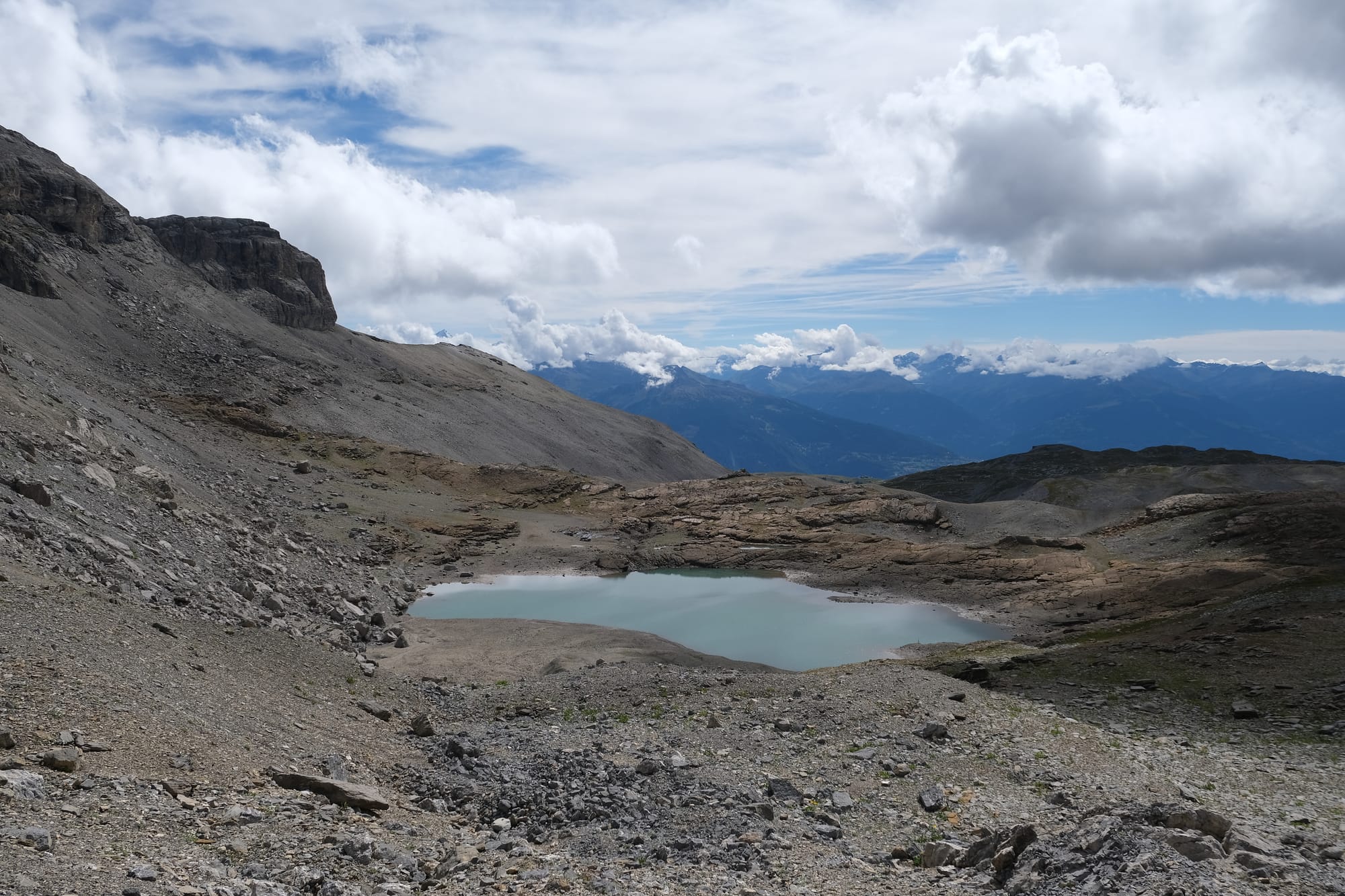
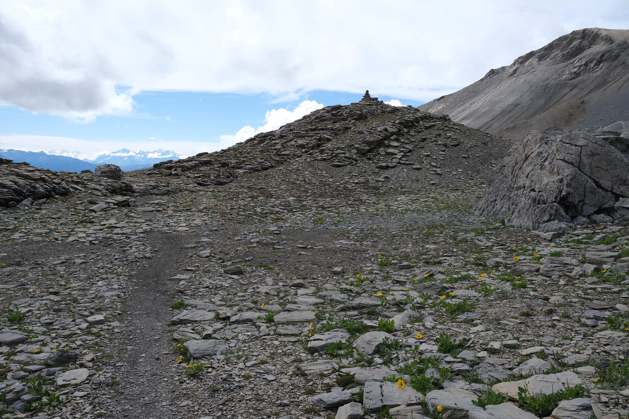
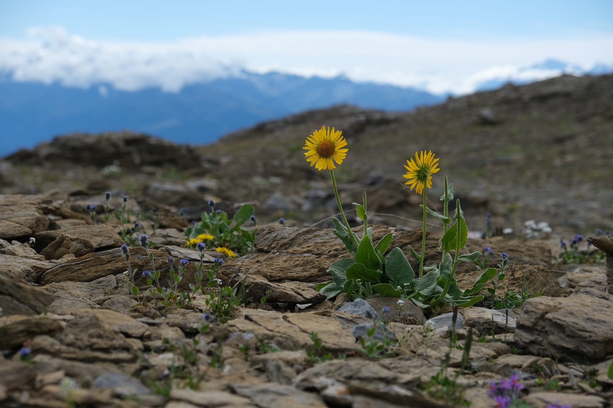
So far on my hike the terrain was nothing but bare stone and ice, but as I approached the lake small patches of vegetation sprouted amongst the rocks.
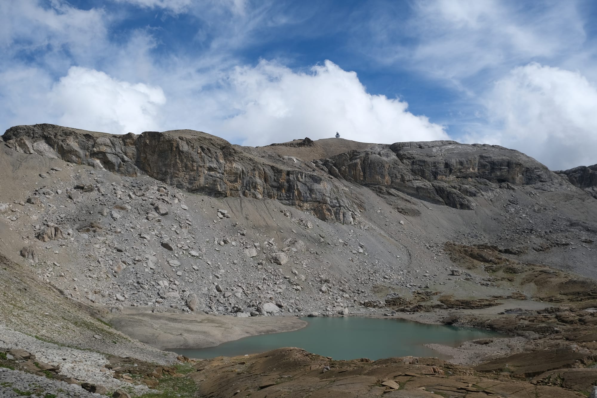
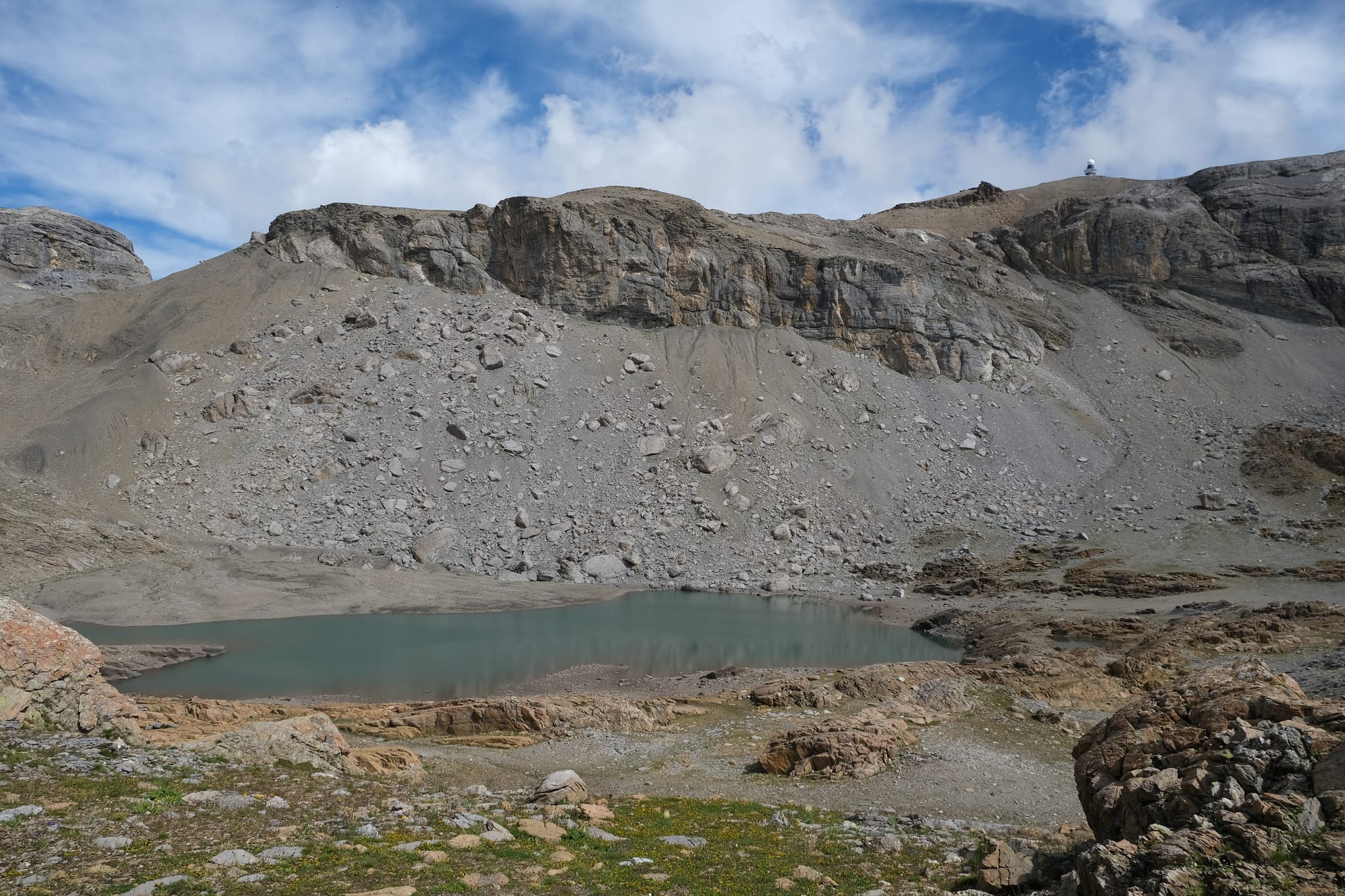
I circled the lake, and as I did, I could see the mountain peak I had previously climbed. The domed tower on the horizon is at the summit.
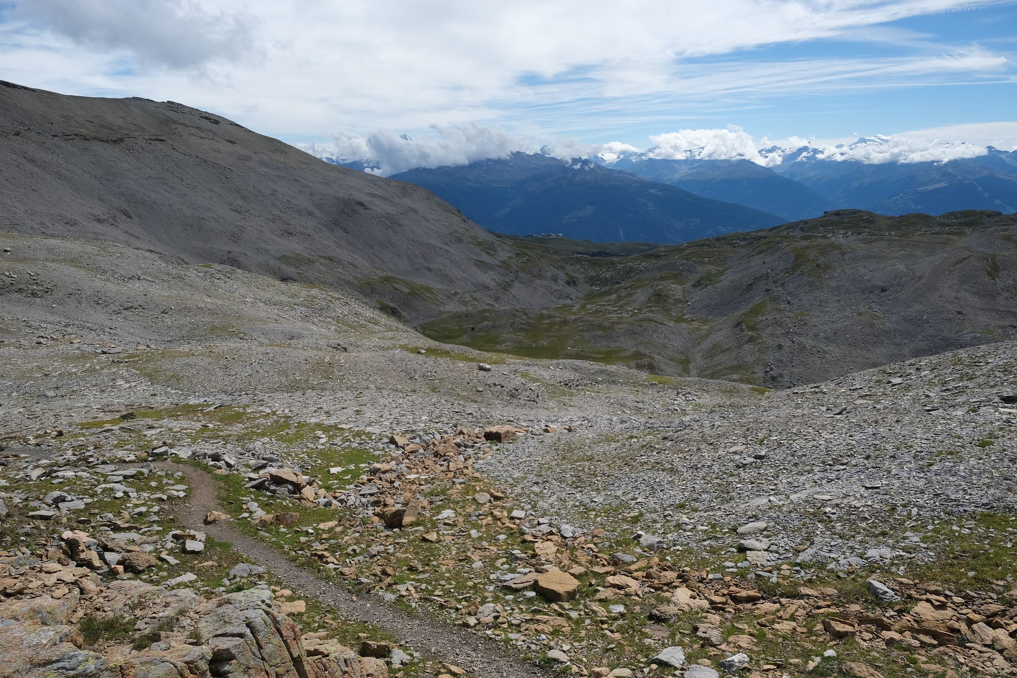
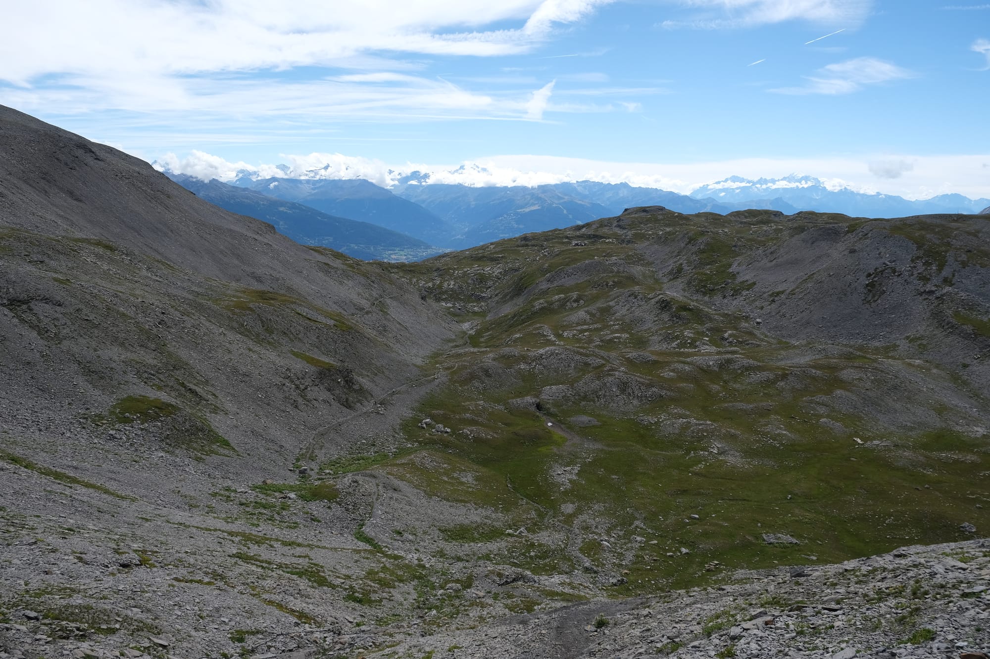
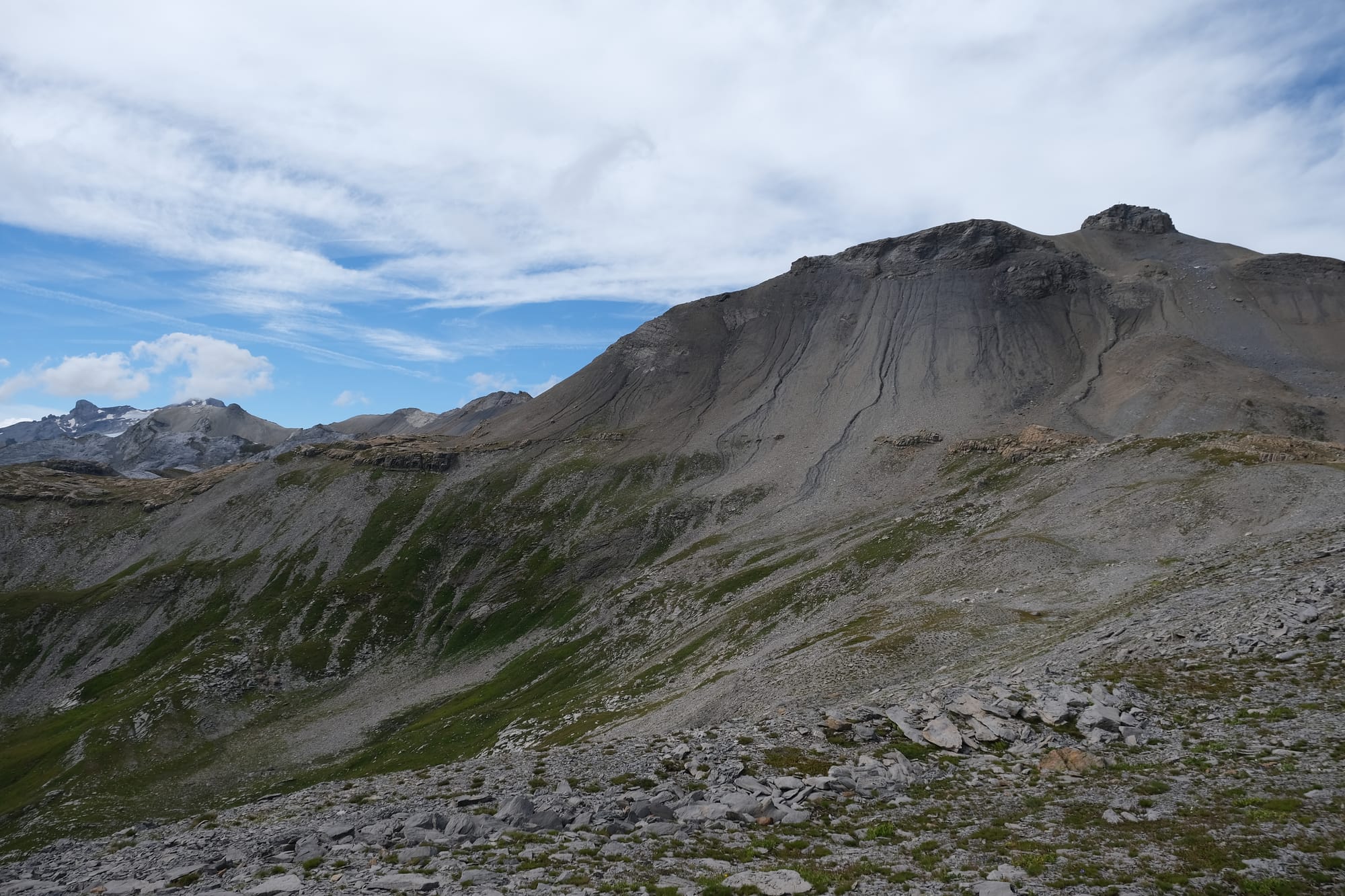
After the lake I had these views where the barren landscape yielded to grassy vegetation.
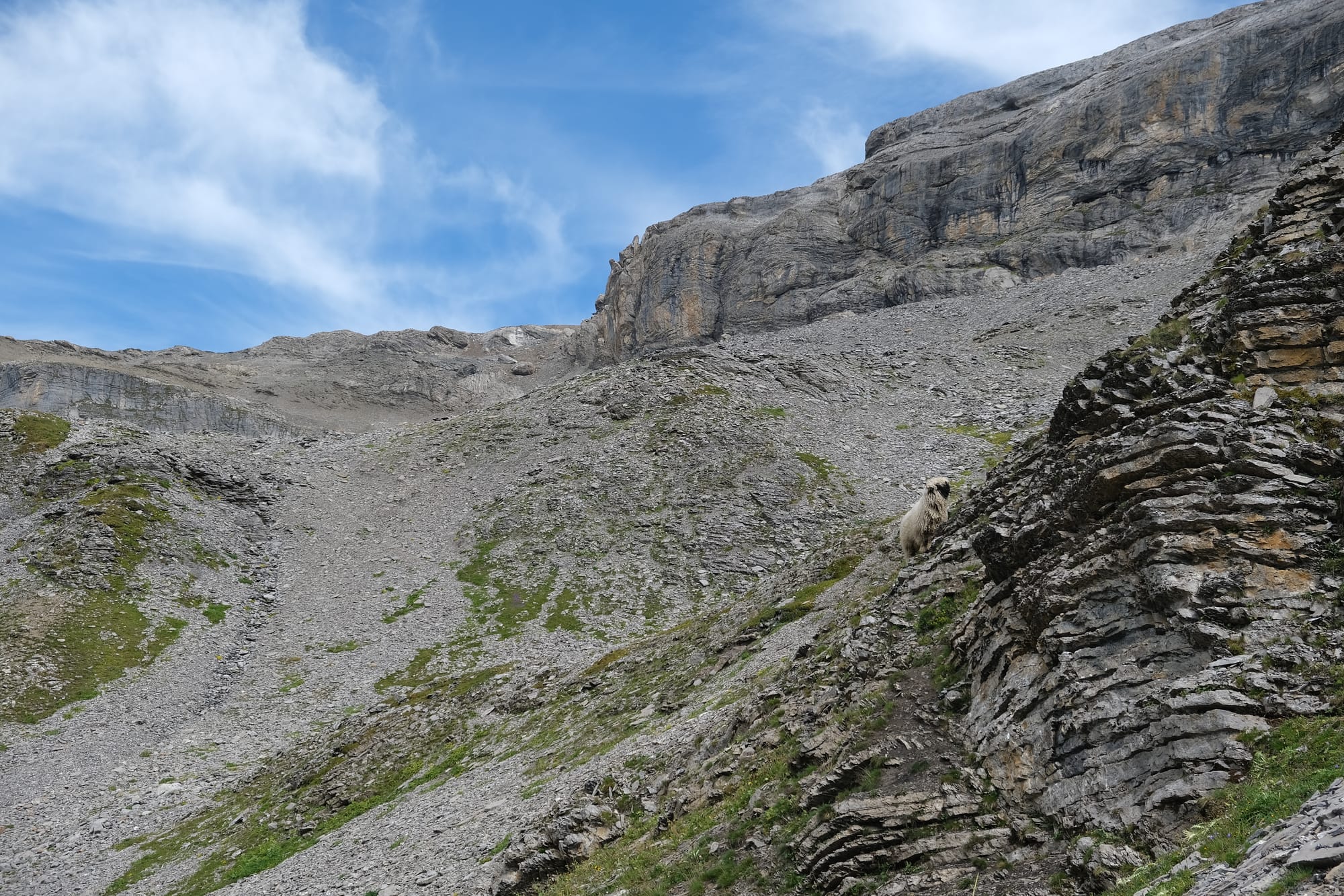
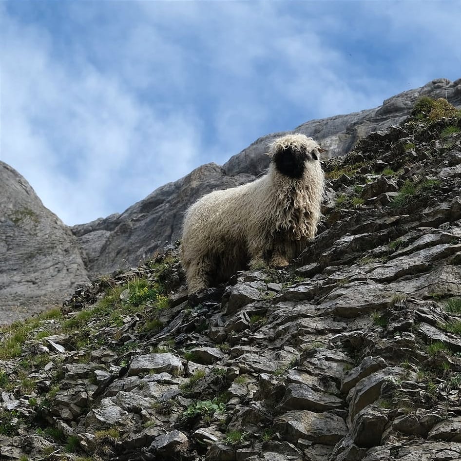
I saw a mountain sheep that watched me as I walked by.
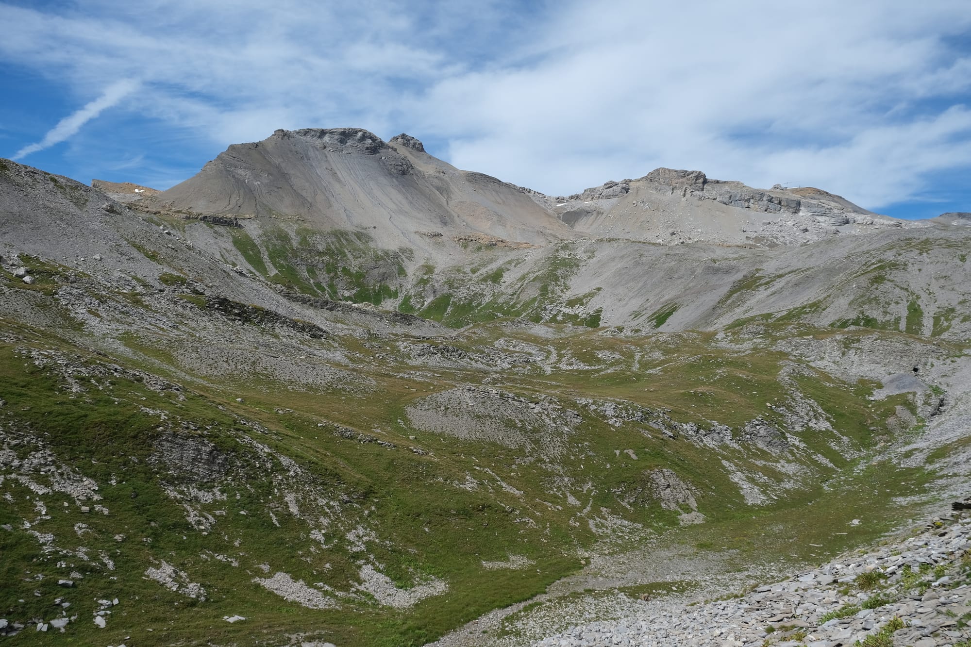
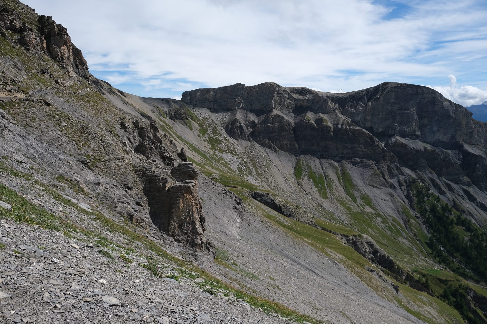
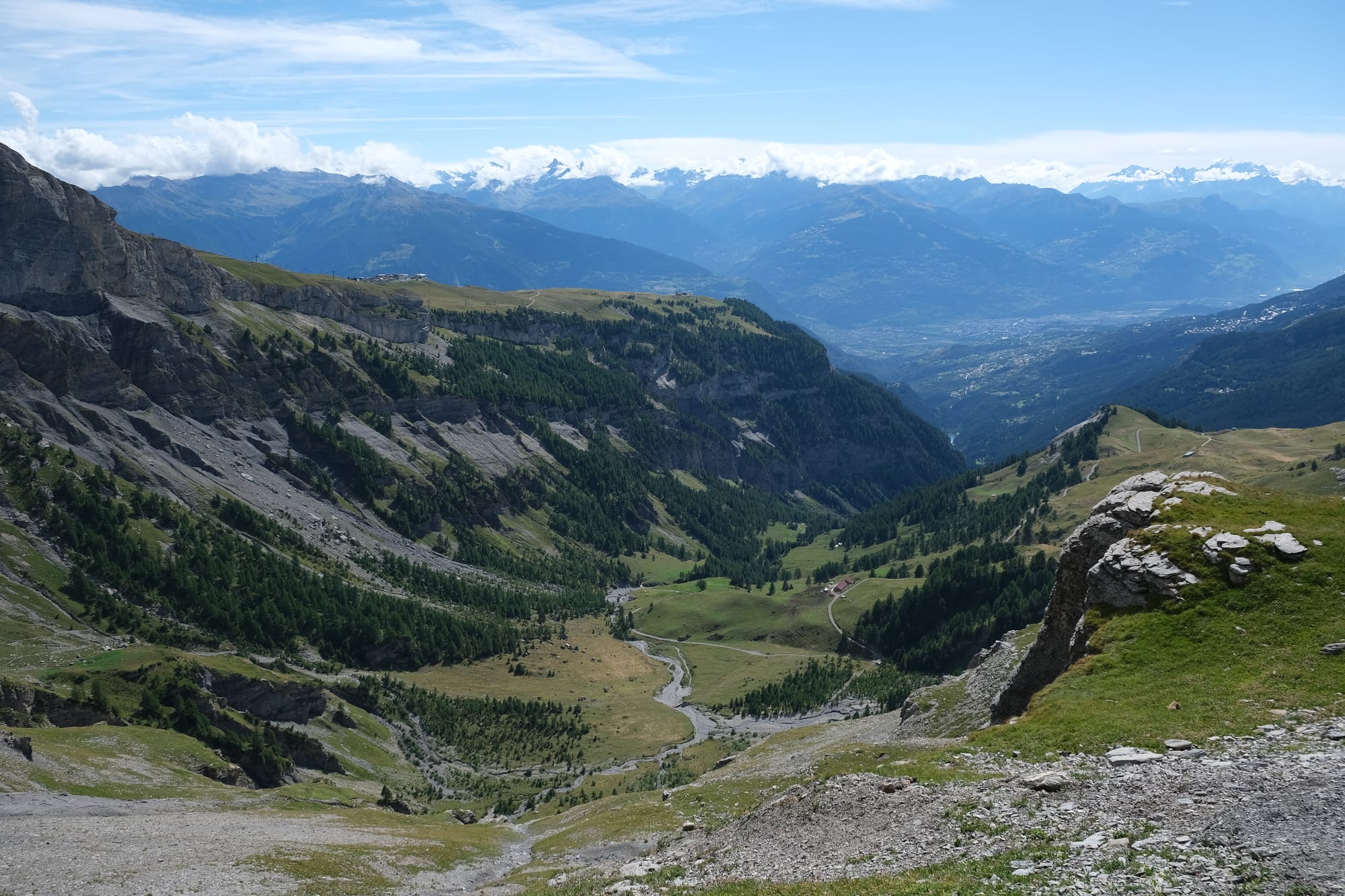
The view I had to my right as I hiked along a steep mountain escarpment.
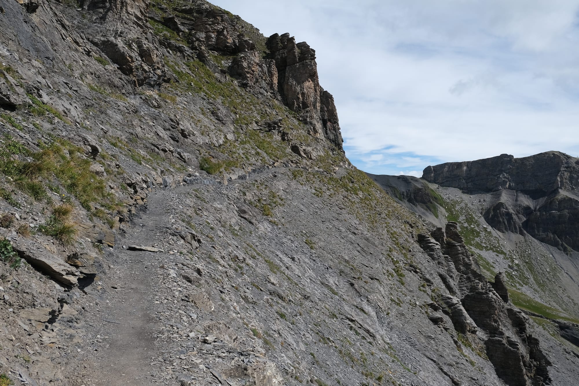
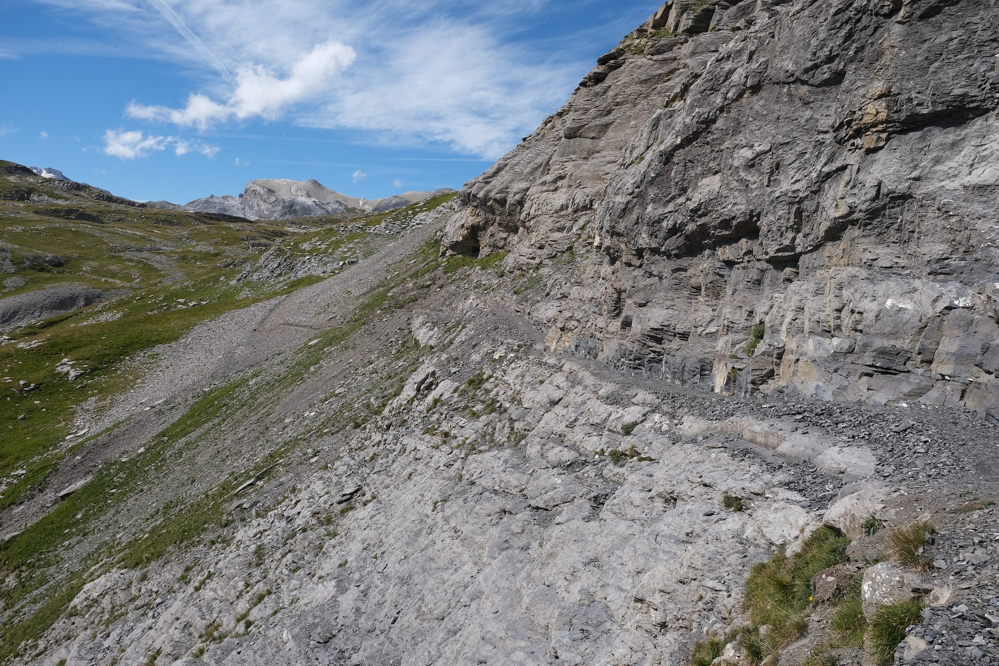
The path here was very narrow with a long drop on my right. The second image shows the path looking backwards from my walking direction.
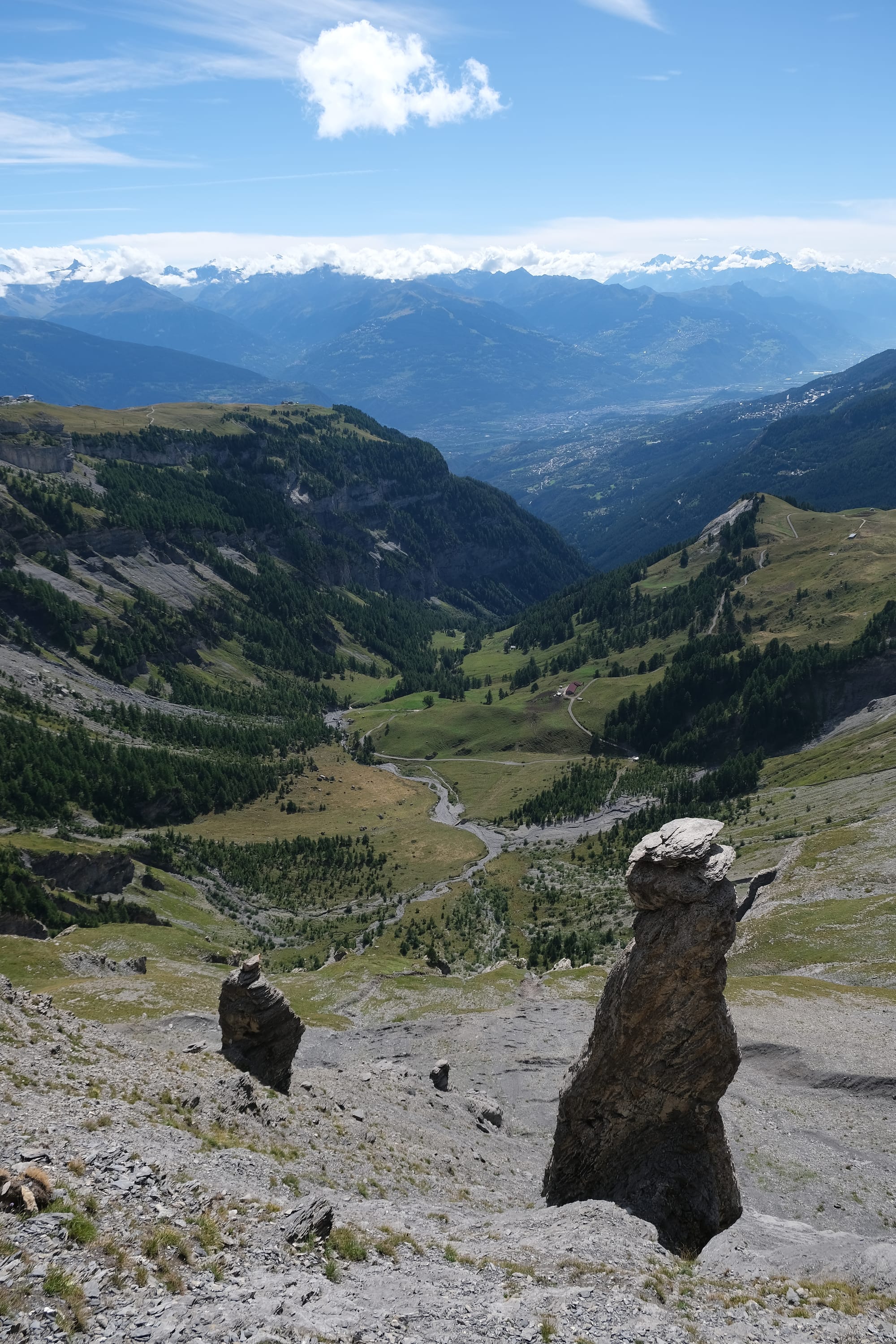
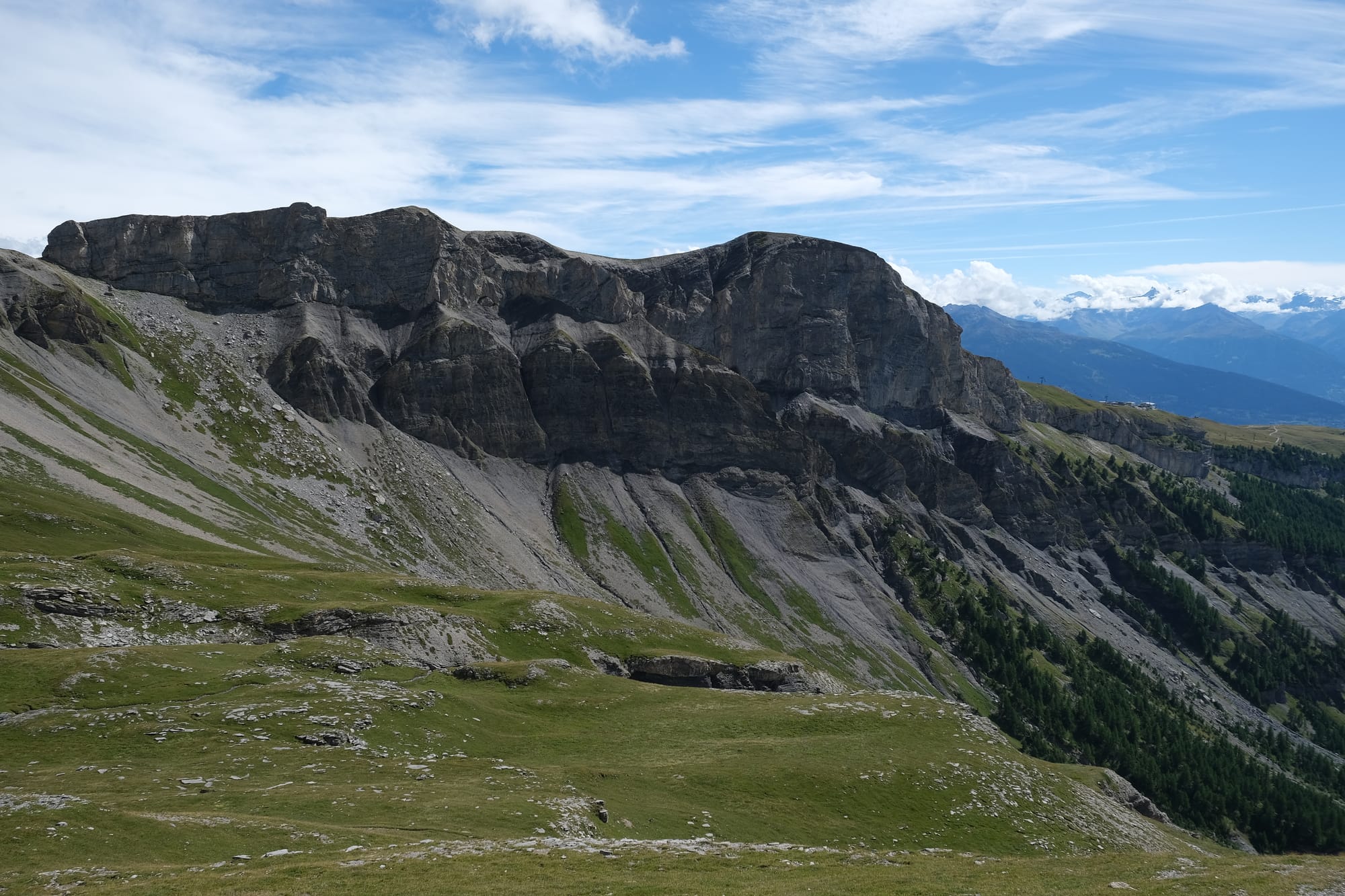
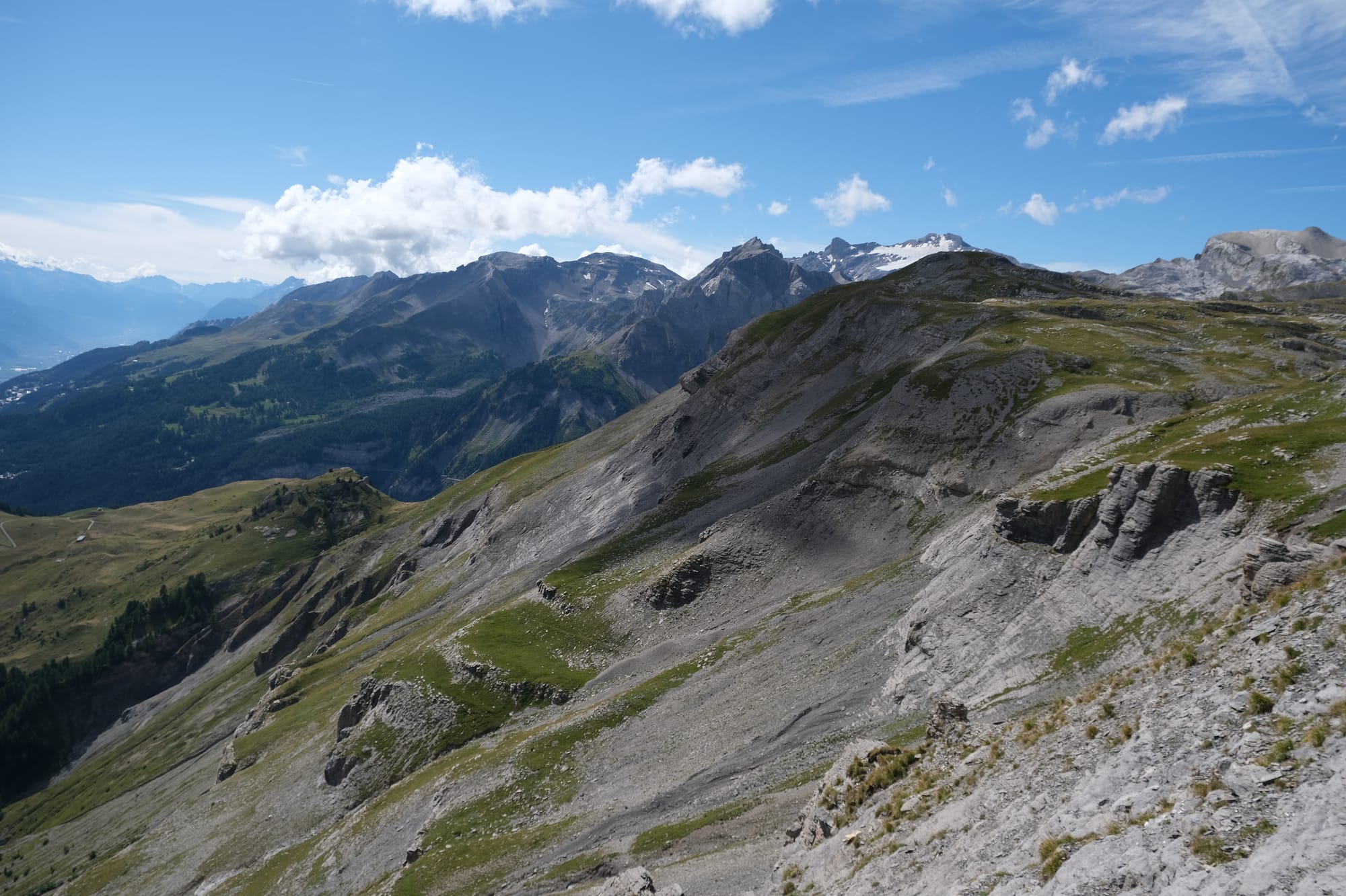
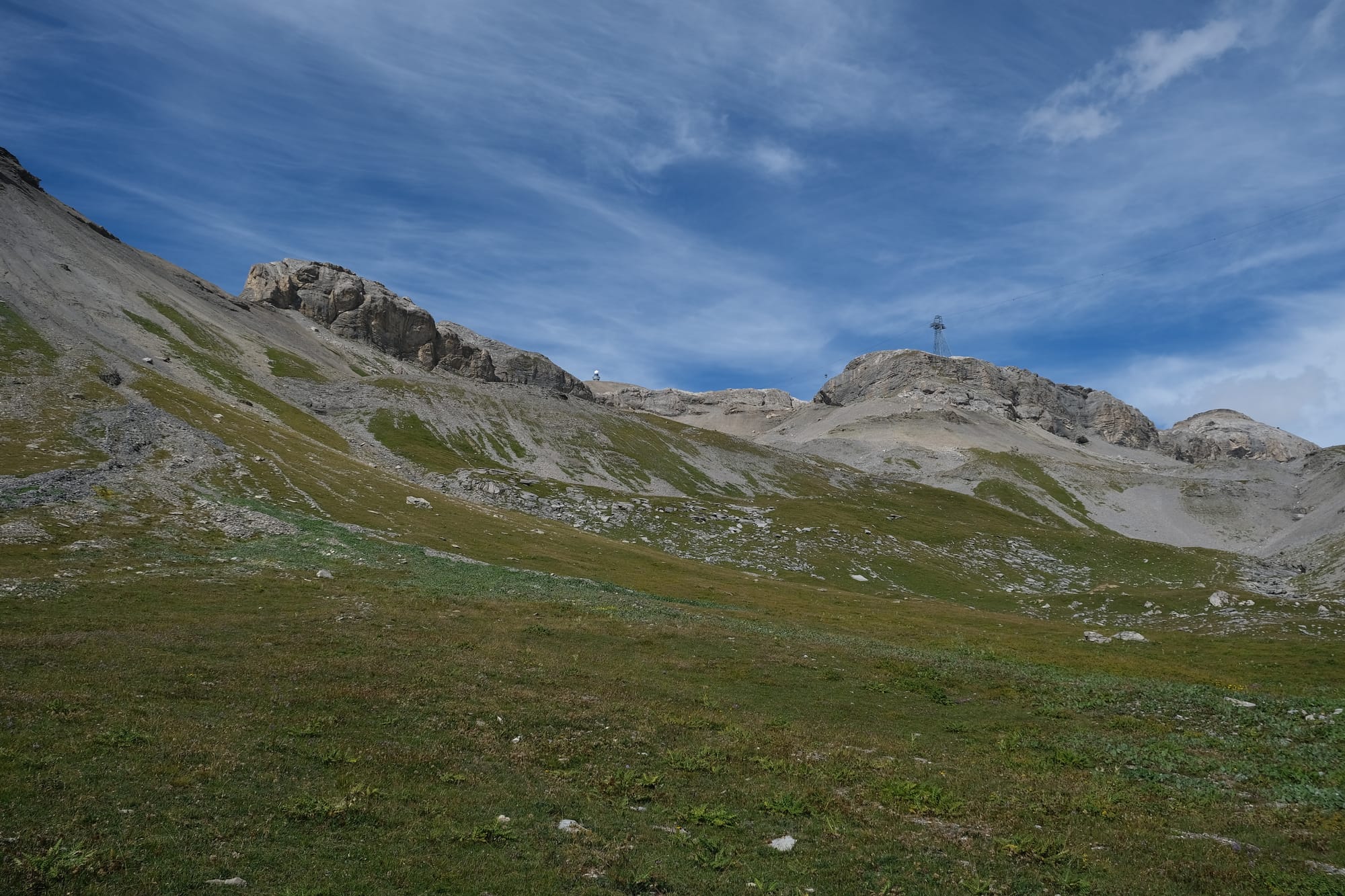
Some more of the scenery as I hiked up to a mountain ridge.
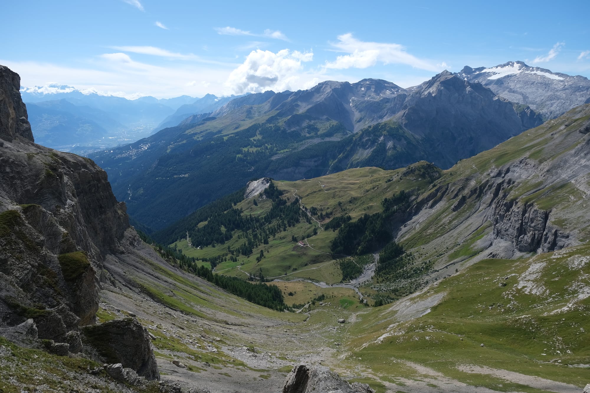
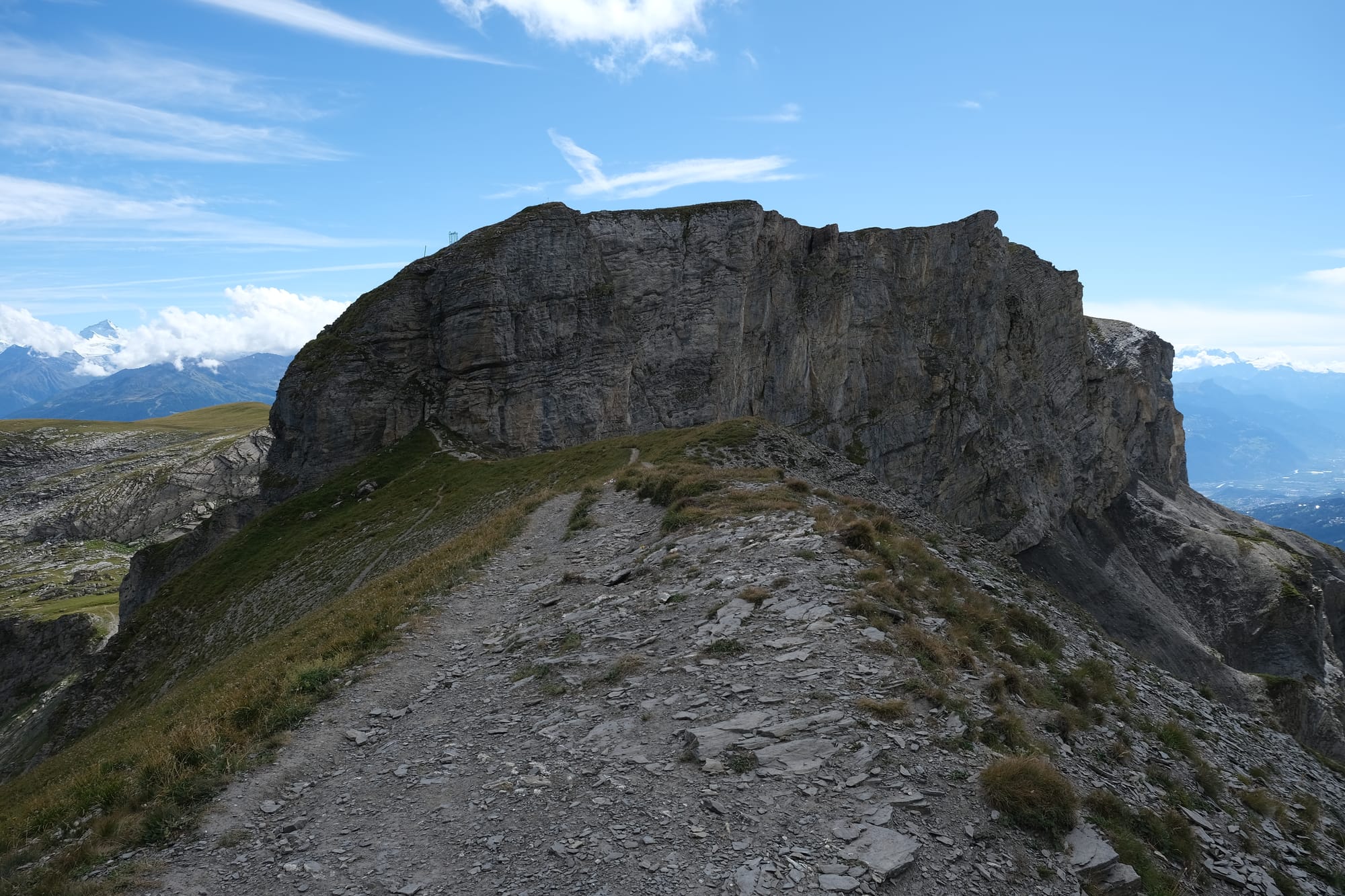
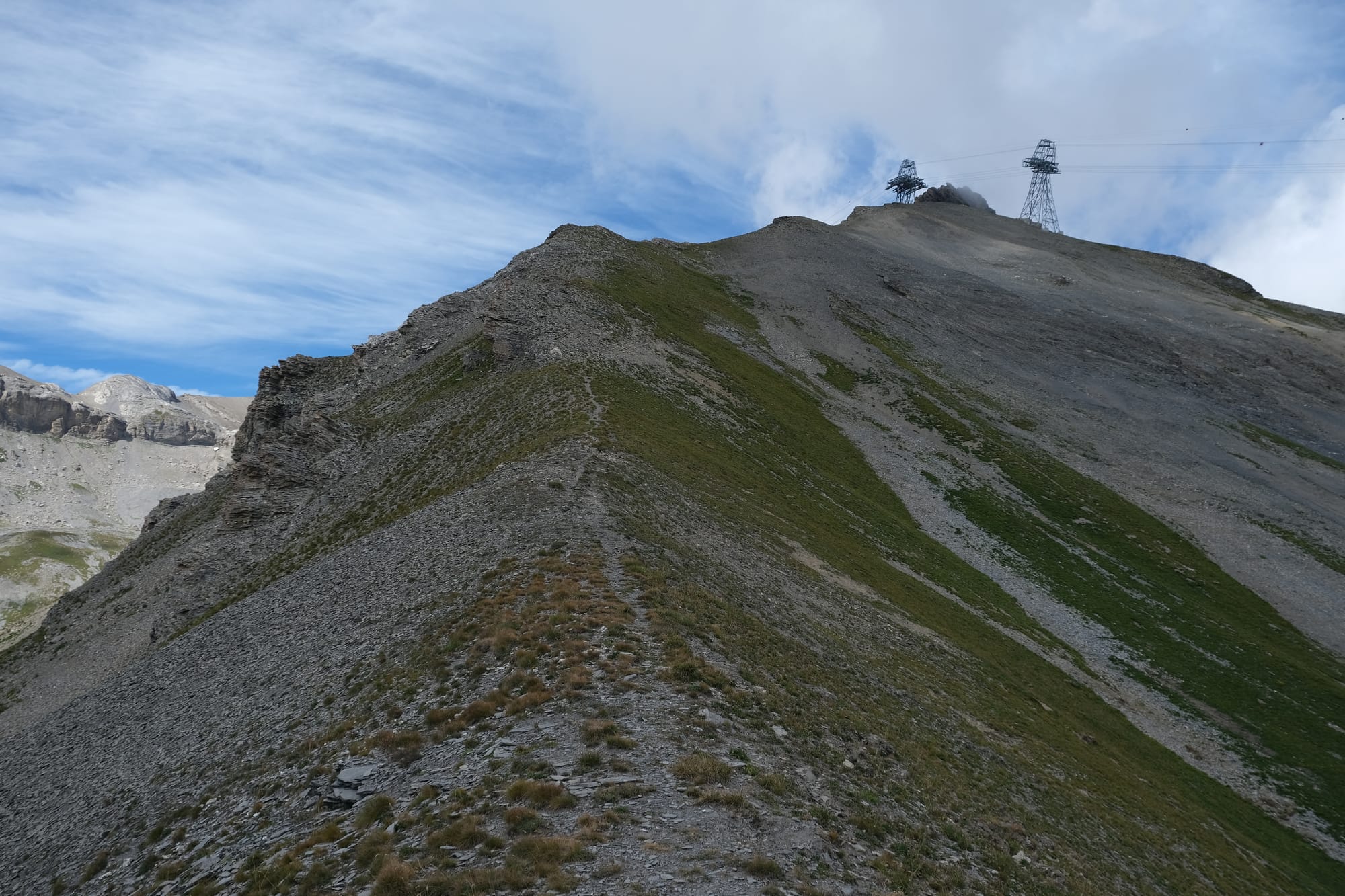
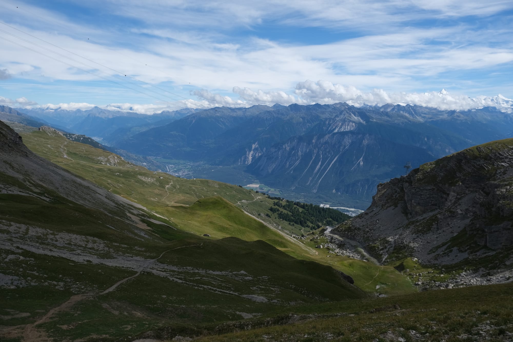
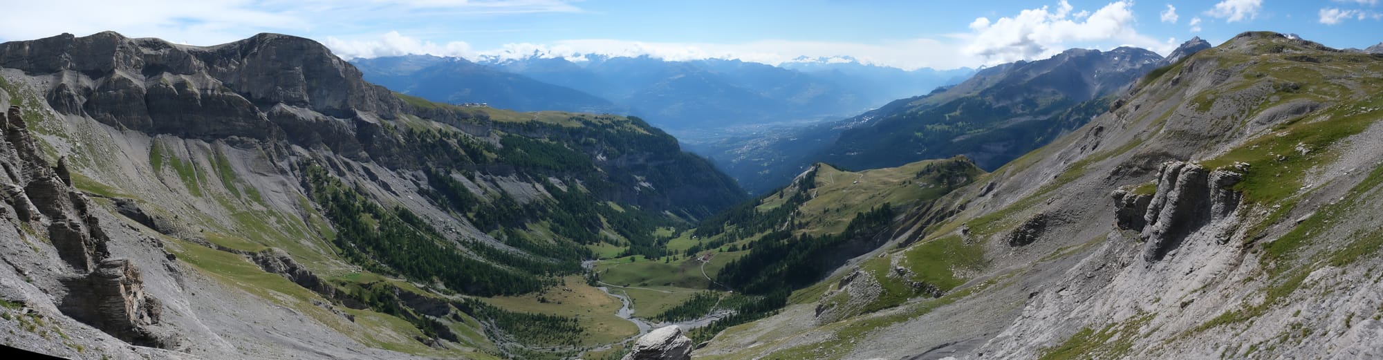
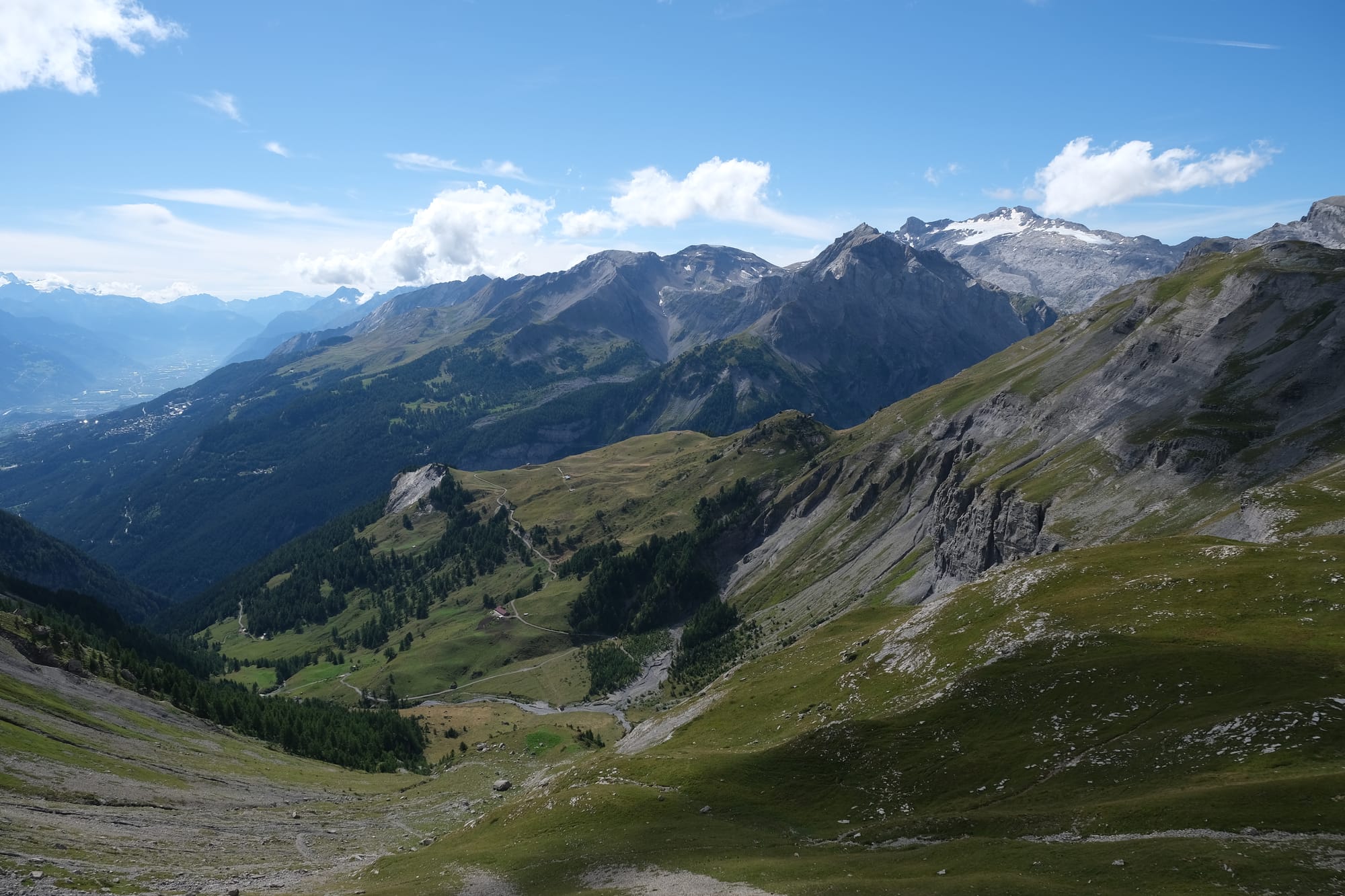
Views from the mountain ridge. Each image was taken at the same spot looking out at roughly perpendicular angles. The first looks back towards where I had hiked from, the second towards the right of the path looking down the ridge, the third to the left of the path looking up the ridge to the cable car line, the fourth looking forward on the path I would follow.
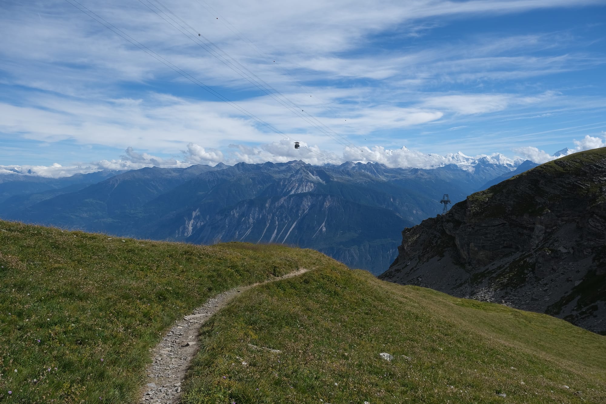
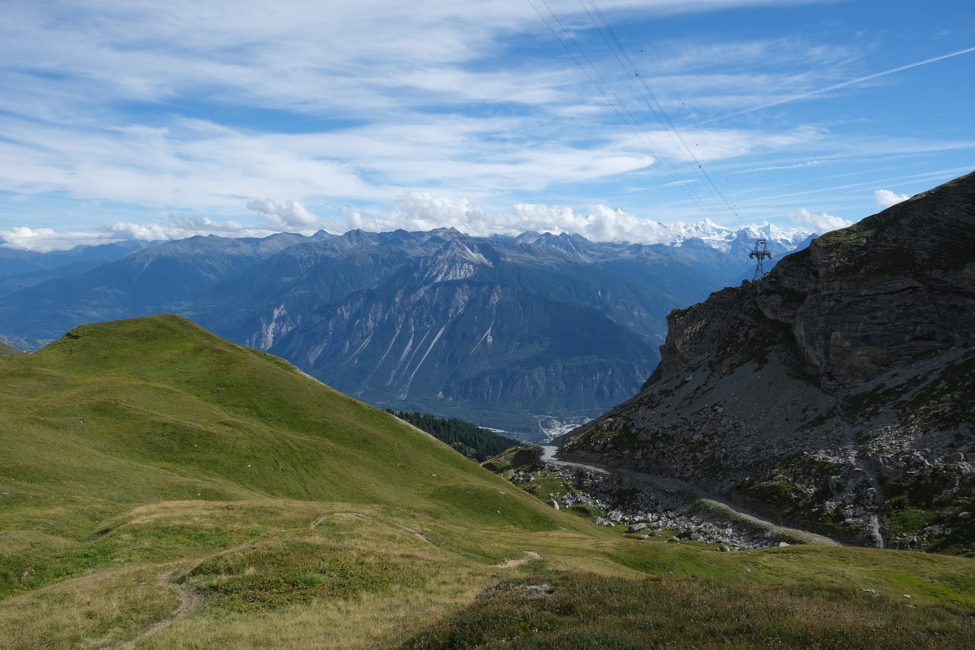
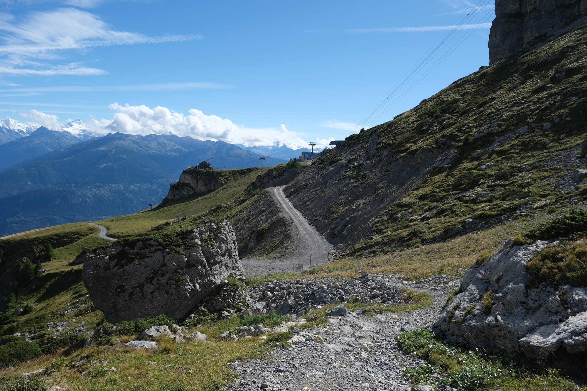
I was now on the final stretch, walking through the high-altitude meadow and beneath the same cable car line I had riden up earlier.
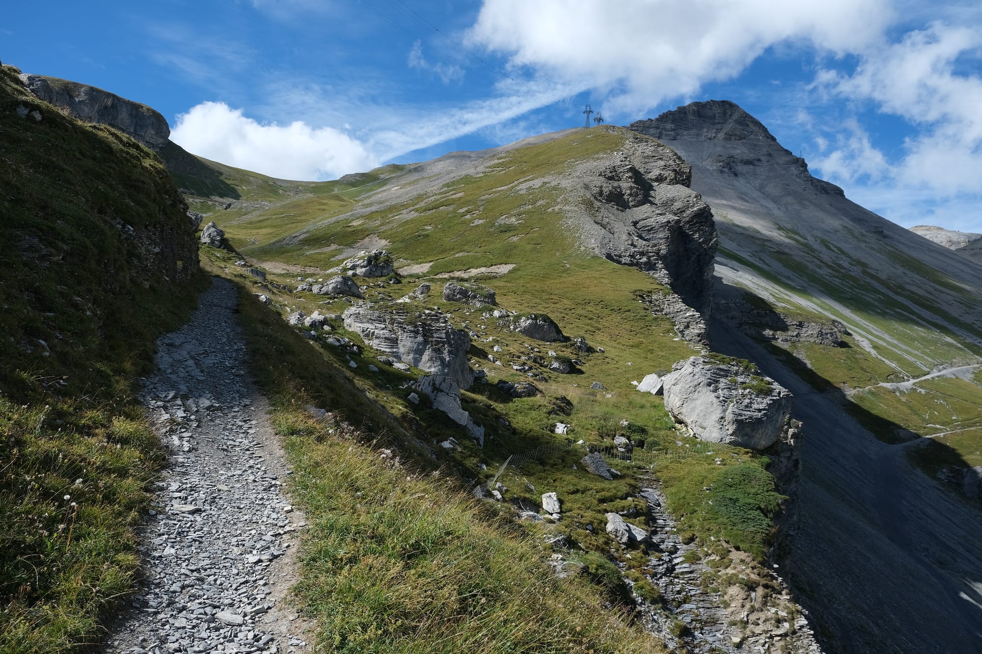
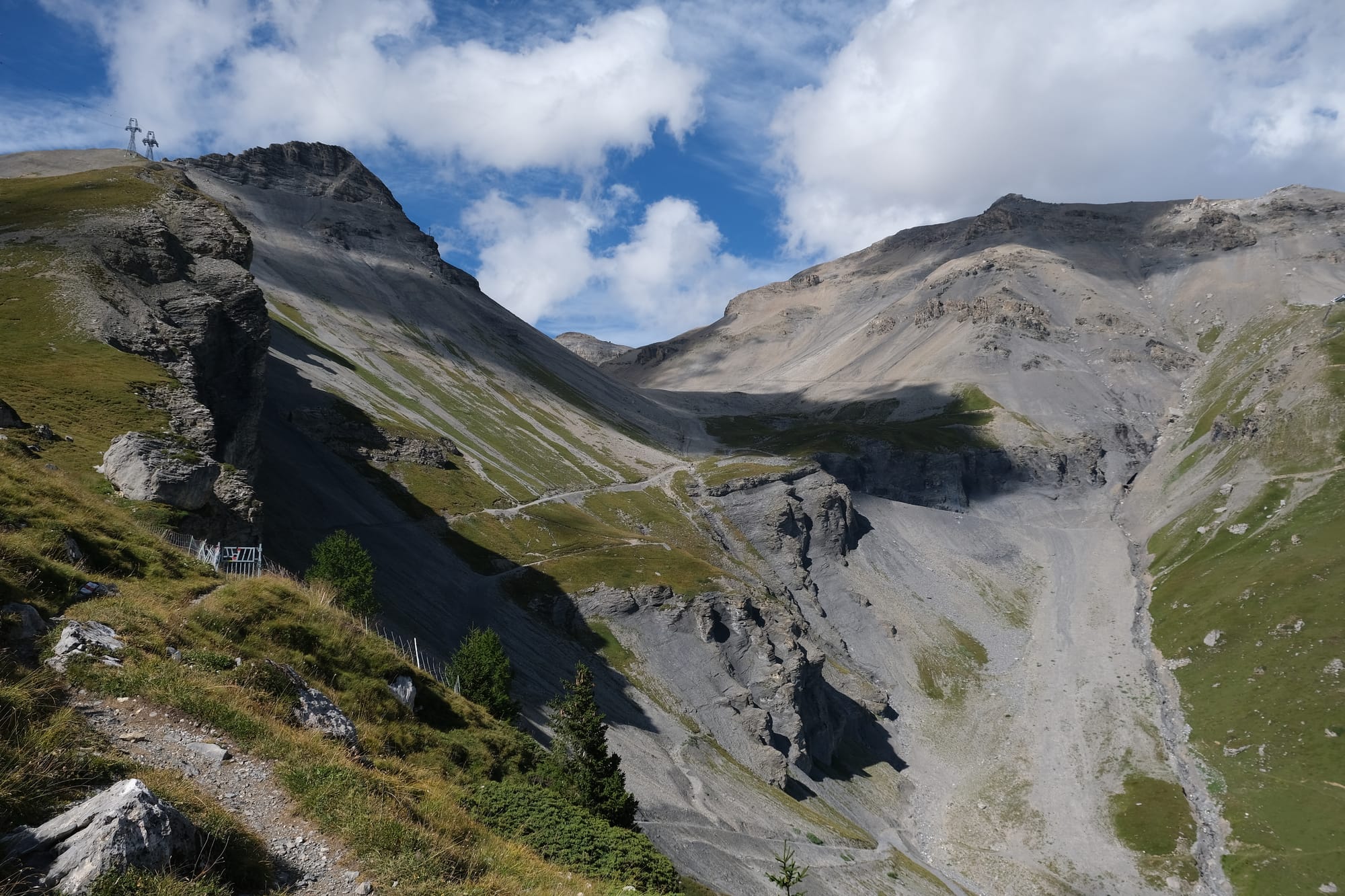
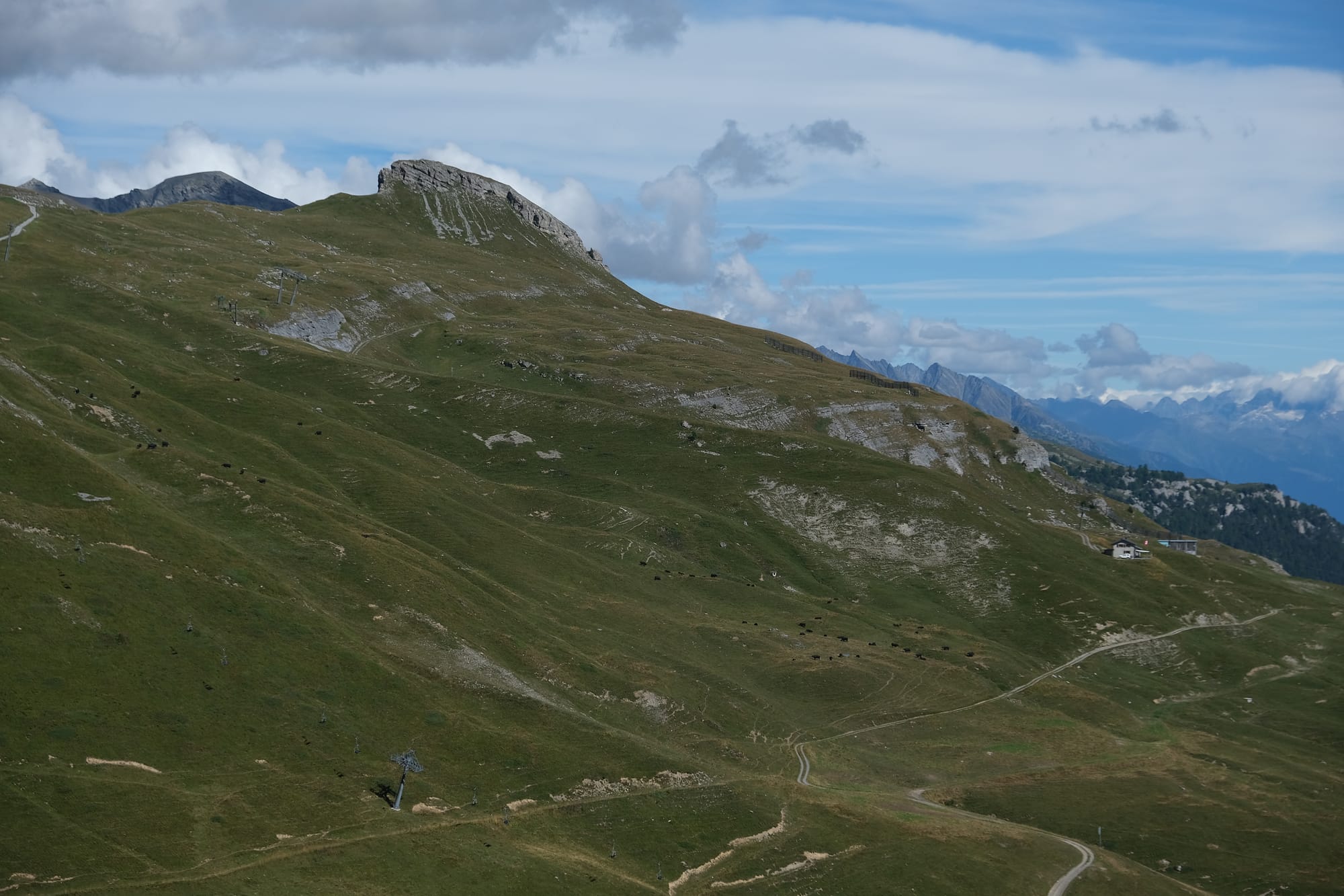
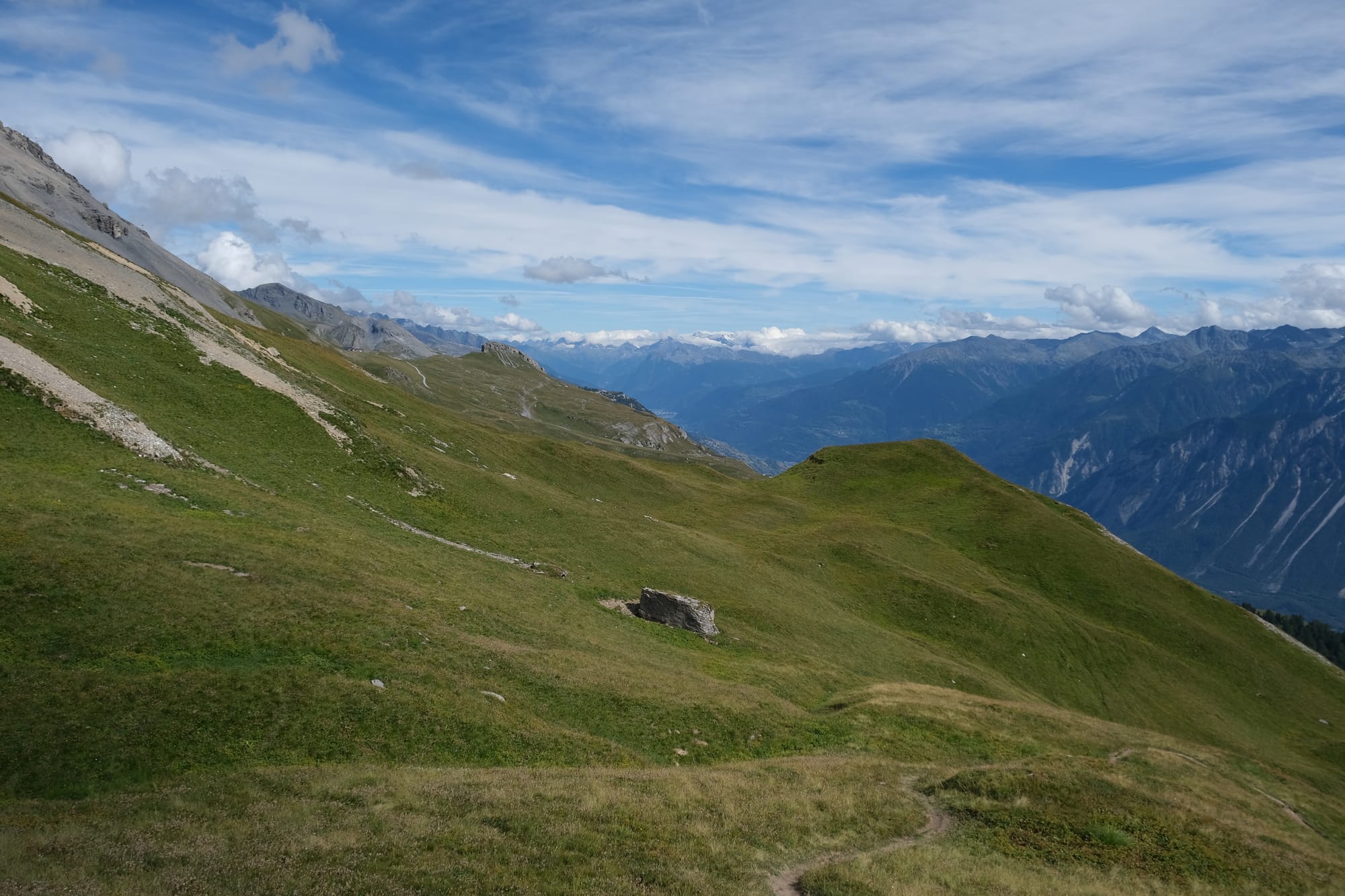
The last bit of beautiful mountain scenery on the final stretch to Les Violettes. The first image is looking back the way I came and the next two images shows the view to me left.
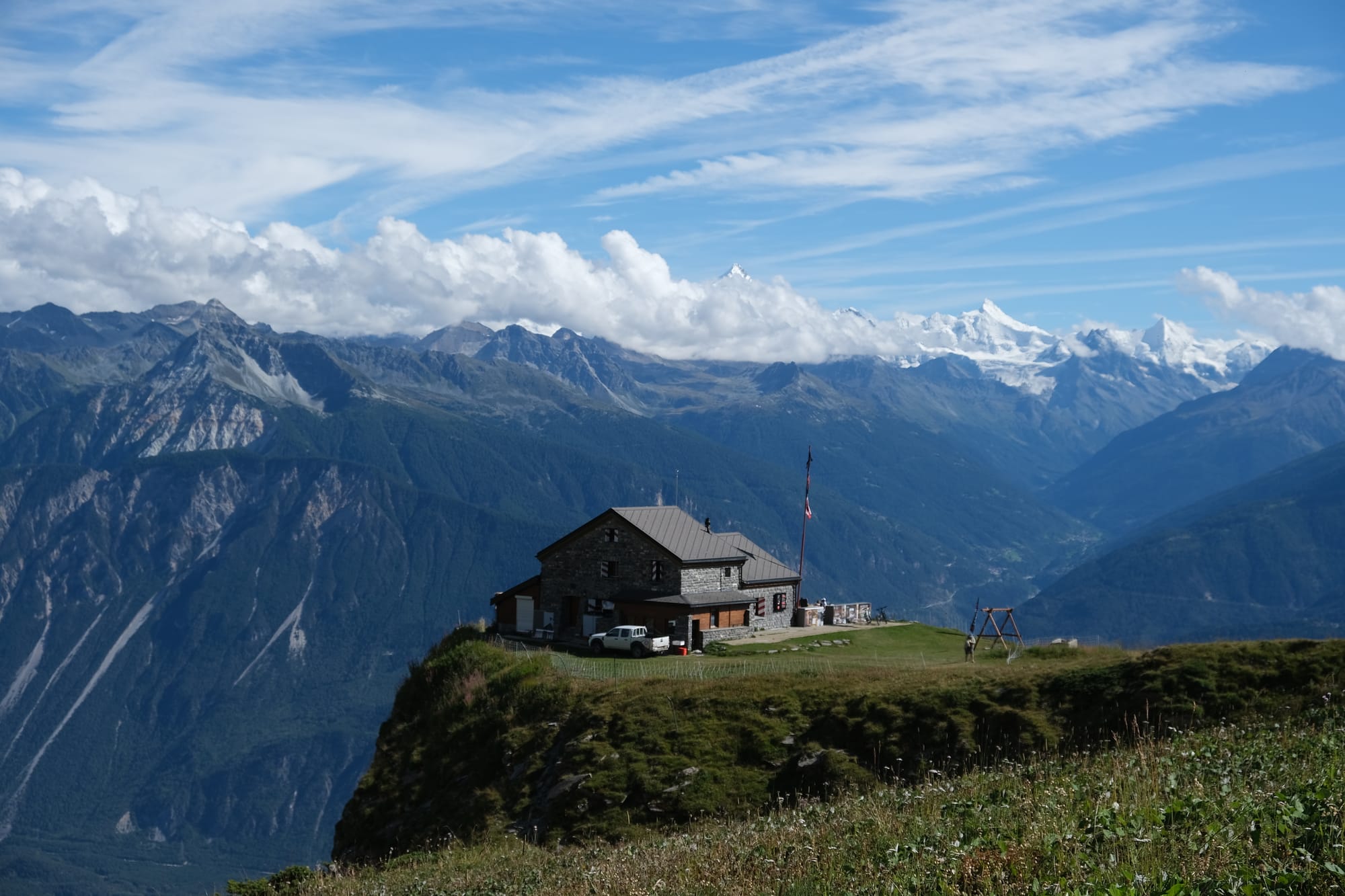
My first sight of Les Violettes, this was a building nearby to the cable car station.
Once I returned to Cabane des Violettes I took the gondola back down to Montana. Overall the hike was about seven and a half kilometers in length. It was my first proper hike in Switzerland and I absolutely loved it. I probably took way too many pictures, there was never a moment where there wasn't a beautiful view somewhere around me. As I walked, the scene constantly shifted, revealing the same landscape from different perspectives. That is why I took so many pictures, with many images in this post showing the same scenery from different angles. My favourite moment was always when I rounded a mountain spur, or summited a crest, and suddenly a brand new scene would be presented before me. By the end I felt so thankful to God that I could experience such wonderful nature. I felt absolutely confirmed in my choice to come to Switzerland, and in my choice of Crans-Montana as my base of operations. I knew then that I would love every moment in this beautiful country.
Thanks for reading – Edward
Written 17th of November 2024
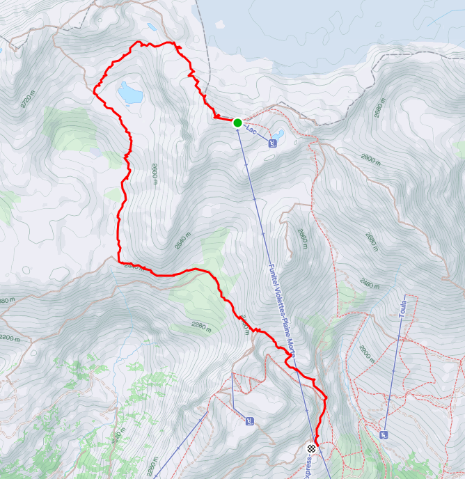
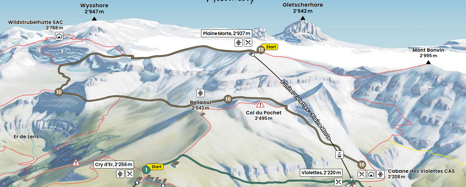
GPS Recording with trail map from the Crans-Montana website.