The Lake District
North of Blackpool is a national park called the Lake District. Almost everyone I talked with, when I mentioned my love of hiking, recommended that I should go there and that it was really beautiful. I had a free day on the 17th of March so I thought that maybe I could do go to the national park then. I researched, needing to find an option that I could access by public transit and that was doable in bad weather, as the forecast wasn't looking great. There was a moment when the prospects looked slim and I wouldn't be able to go, but eventually I found a good option. The train/bus route looked doable, the weather forecast was not great but seemed survivable for my chosen route, so I quickly made the necessary bookings with no time to spare and hopped on a train.
Glencoyne Dale
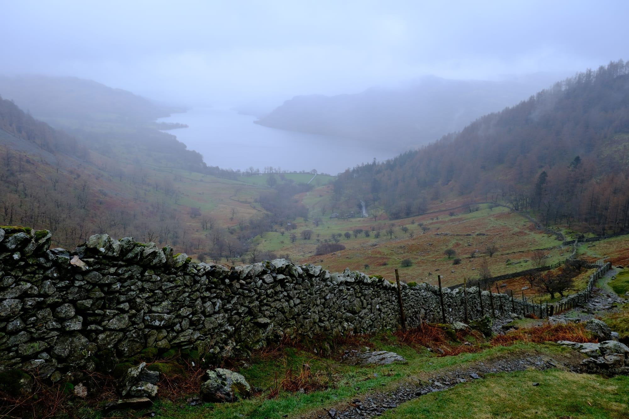
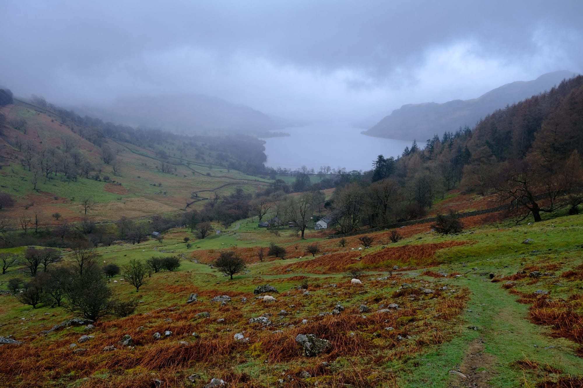
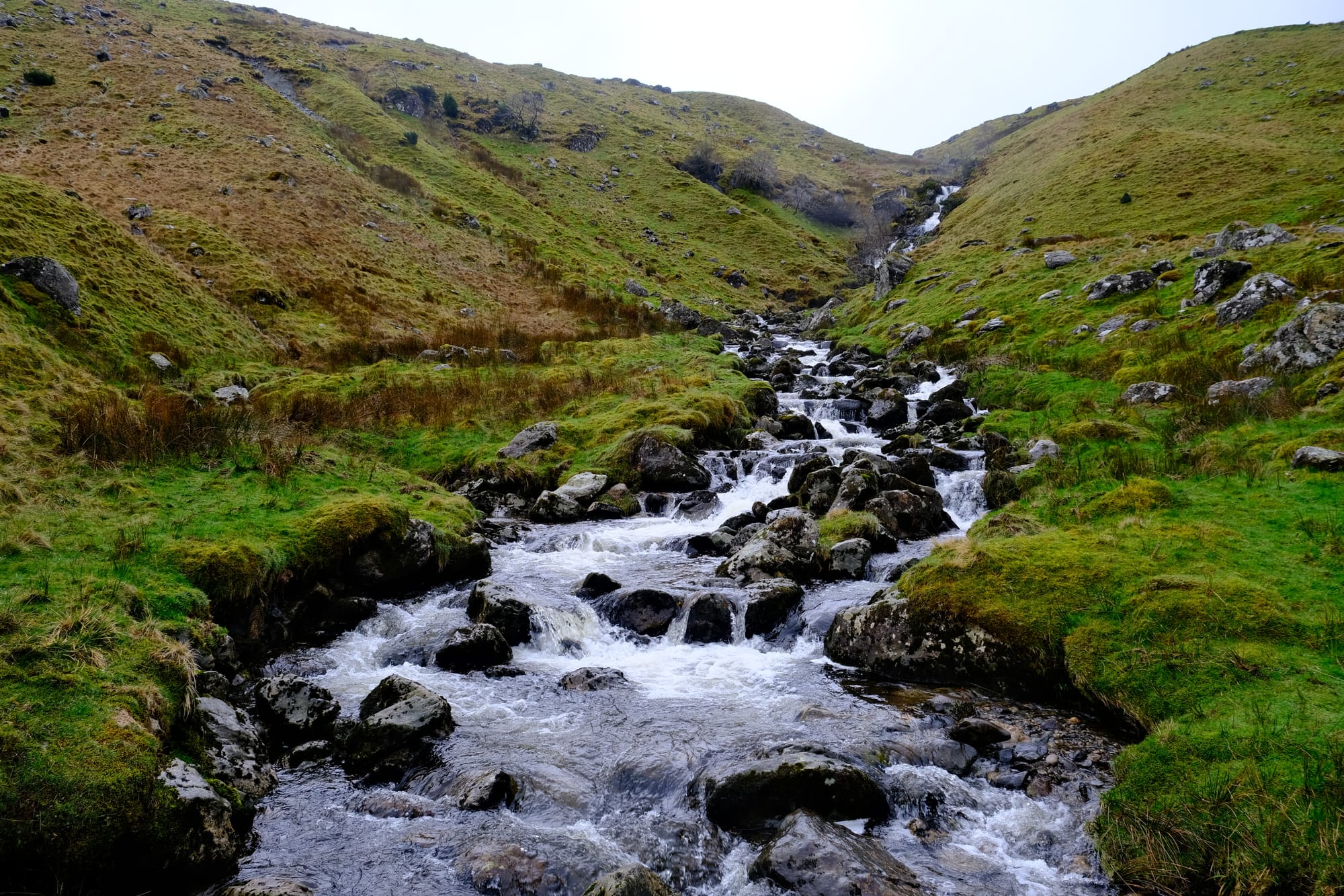
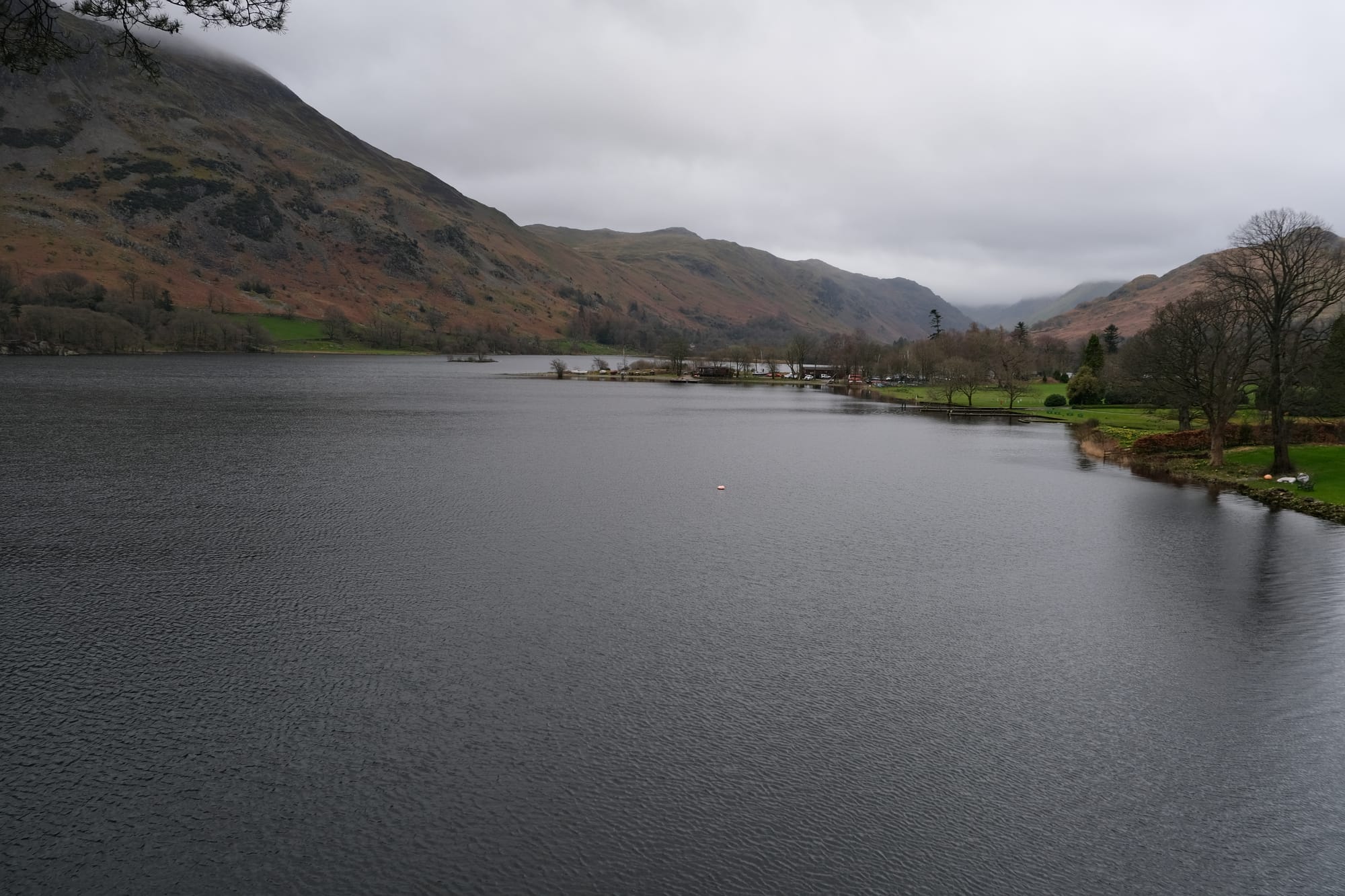
I took this picture just up the road from the bus stop. The main car road was right behind me, having followed the shoreline of the Ullswater lake. The clouds were low, there was some light flecks of rain, and it was cold, but I didn't care, the view up the valley looked amazing.
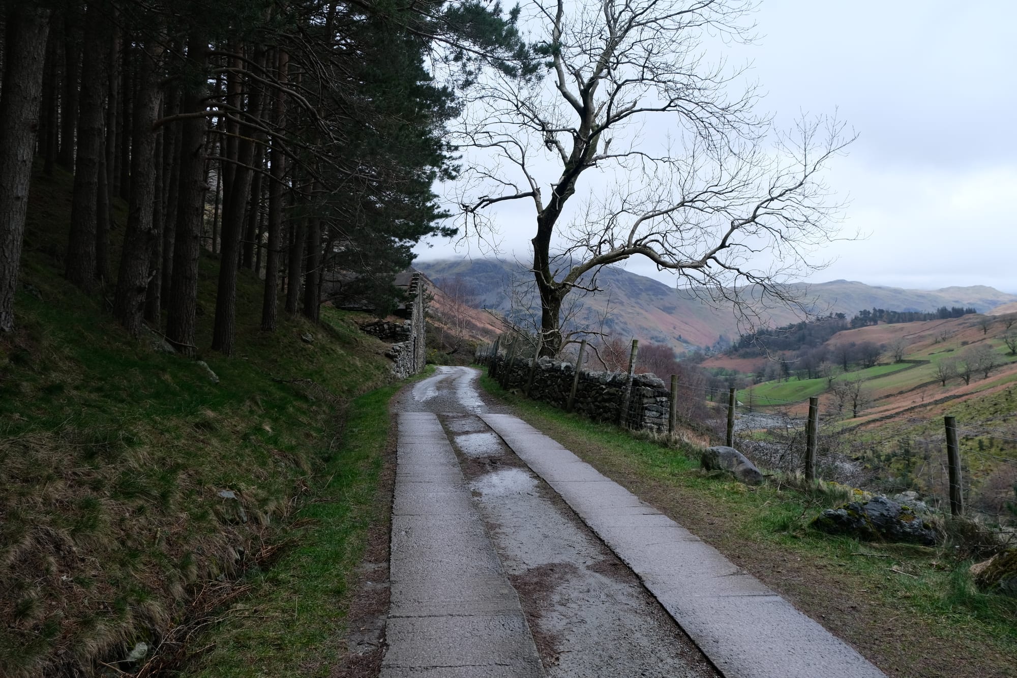
The bus I took eventually goes to Glenridding, the village where I aimed to finish the hike, but I jumped of earlier to start walking in Glencoyne Dale. This small valley is rather secluded, the river you see above flows into the Ullswater that is right behind me. This was the first part of my hike, to walk up the Glencoyne dale and then summit Sheffield Pike.
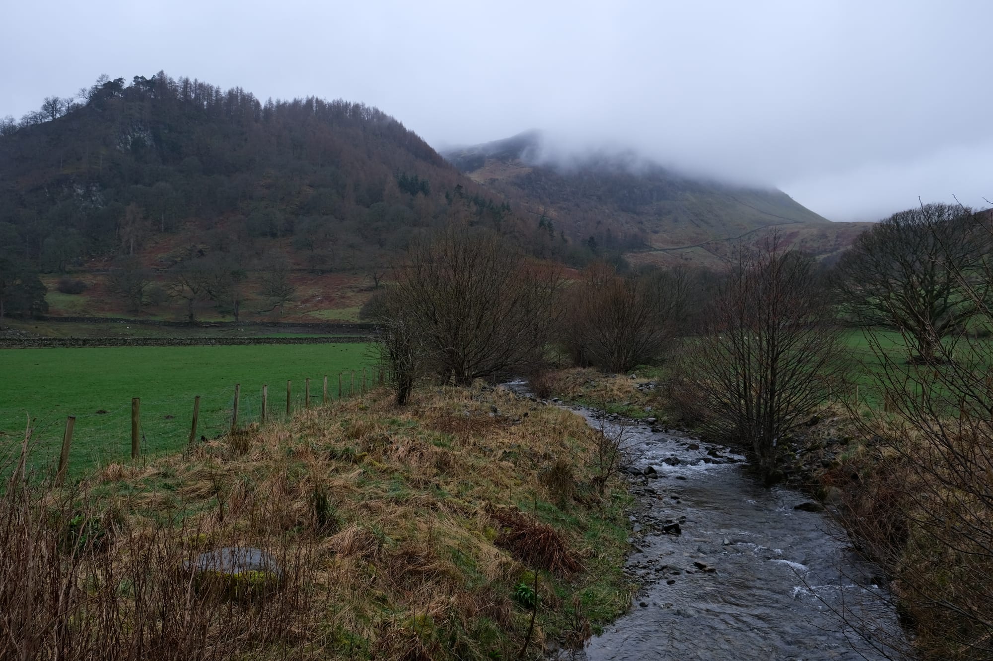
The start of the hike began by walking up the driveway of a farmhouse and walking past their garden. This felt weird initially but I assume it's normal as all the hiking maps showed the trail going this way. A little past the farm house is where I took this picture, looking up the valley. I loved this composition as it captured a mix of human work on the land and the wild beauty of the trees and grasses. The house and pasture walls marking human activity with the forests giving way to these pastures yet in no way surrendering the wild feel of the land, but if anything, almost enhancing it.
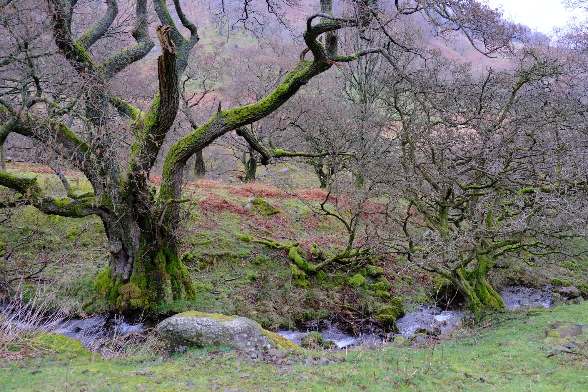
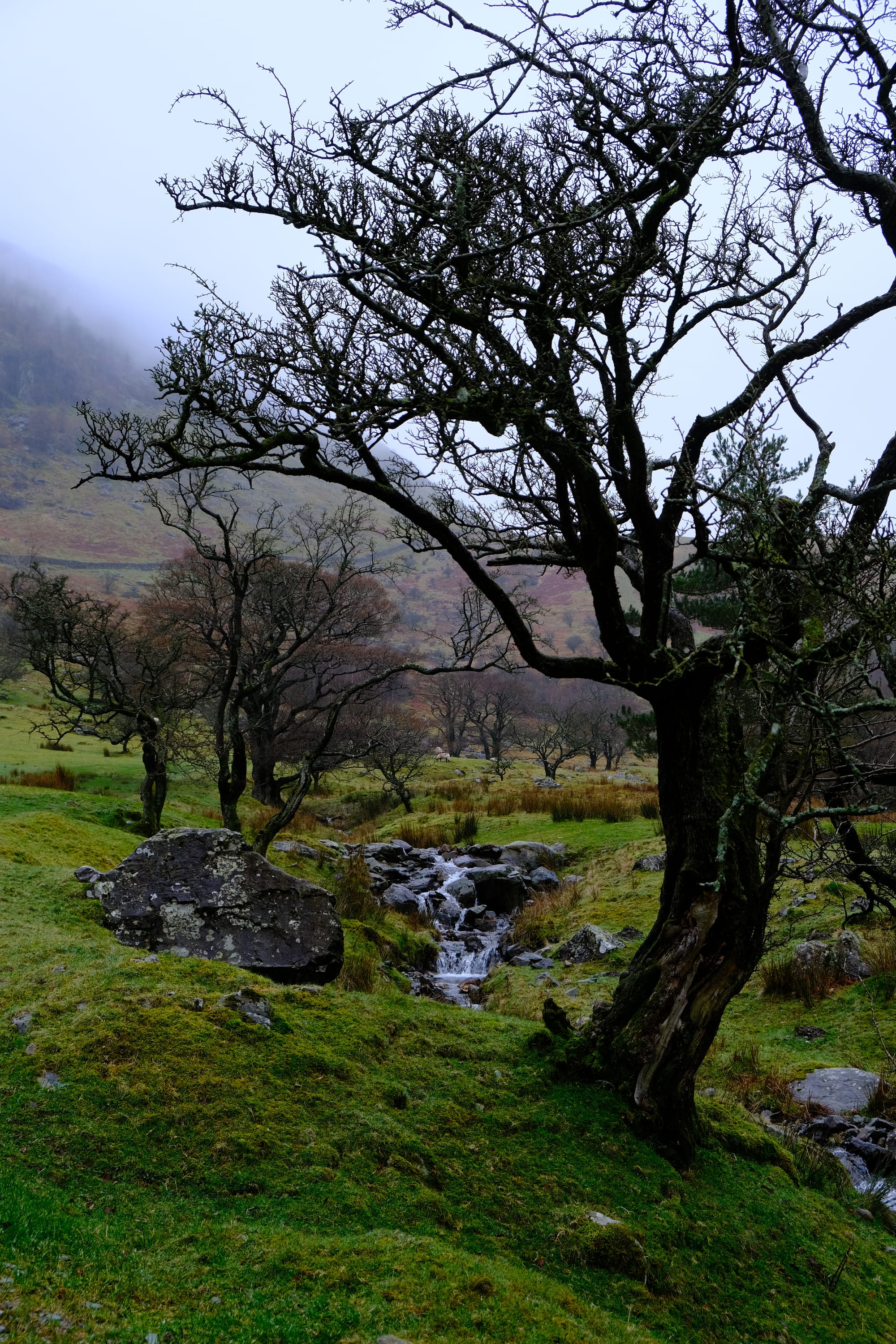
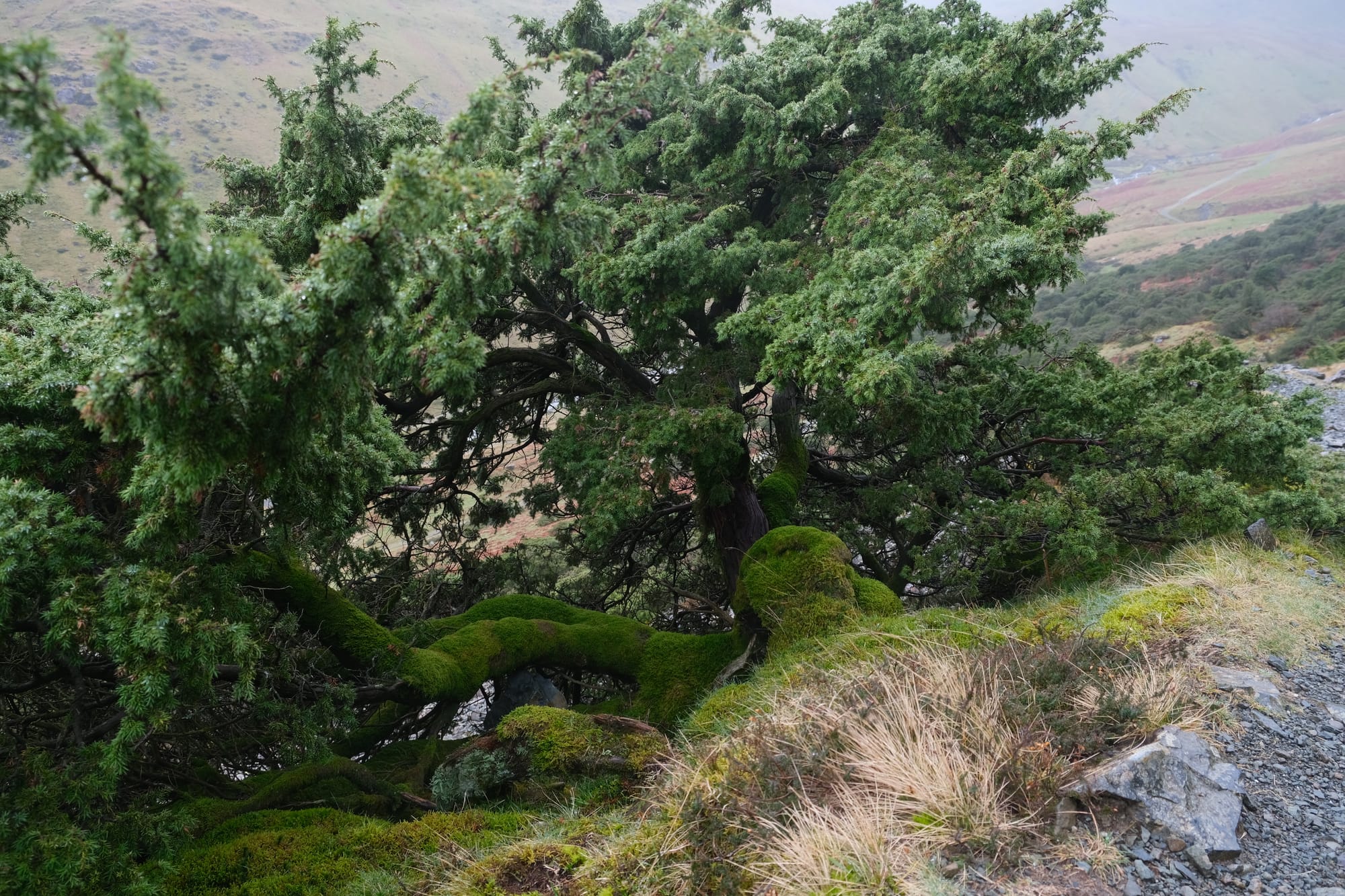
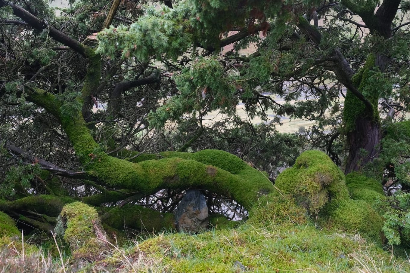
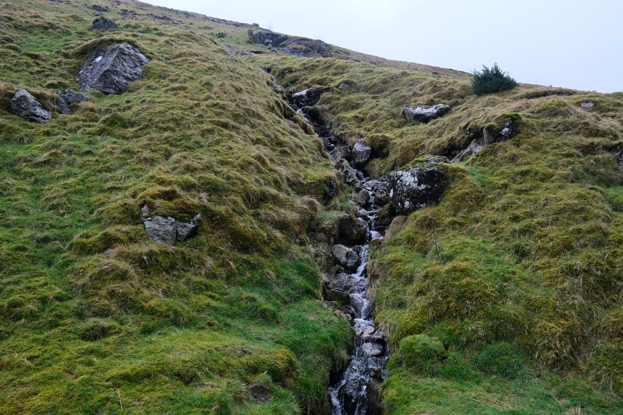
I walked past some of these trees that looked absolutely fantastic covered in vibrant green mosses, straddling the banks of this mountain creek.
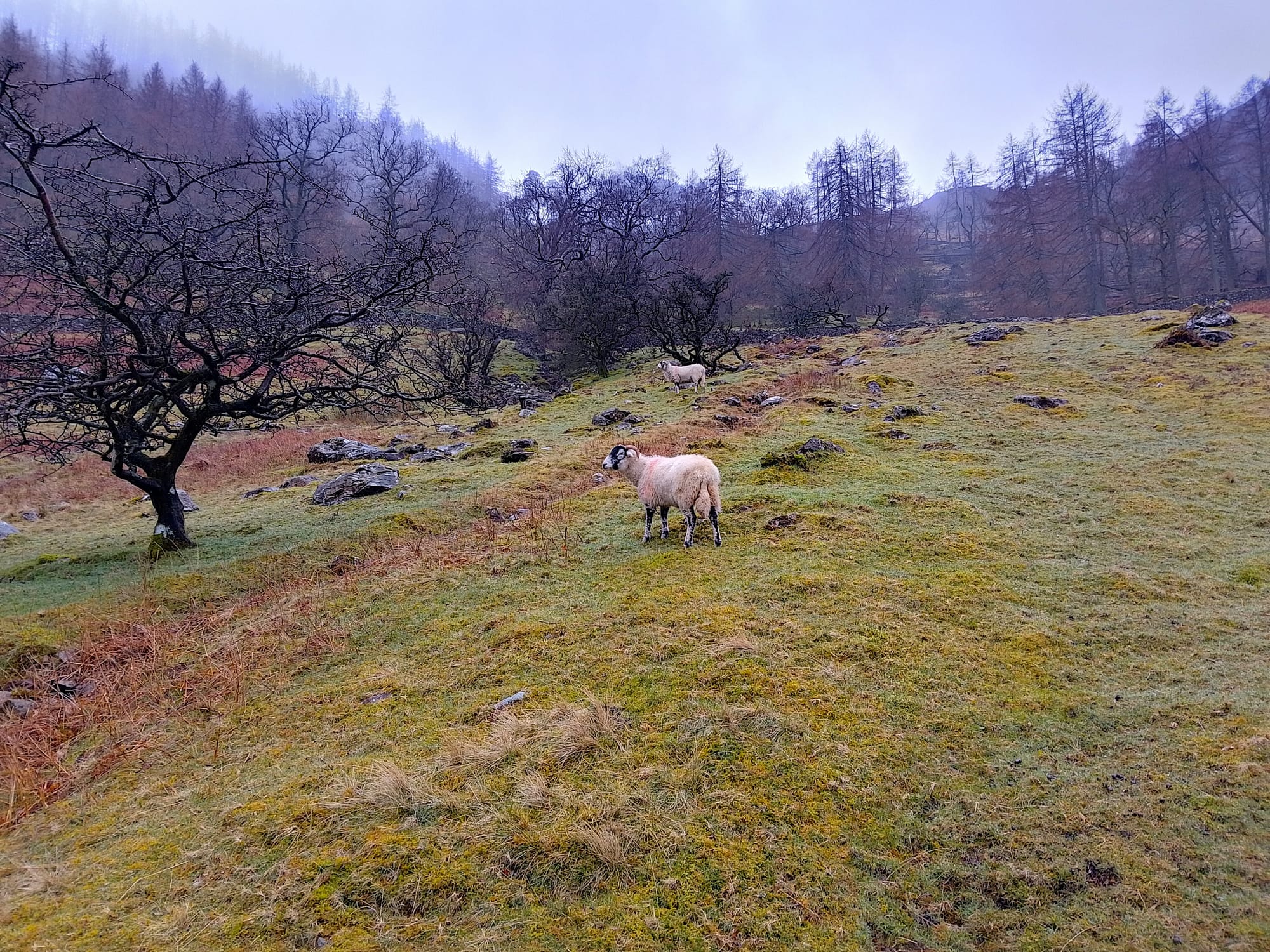
There were a few places early on in Glencoyne where I walked past some sheep.
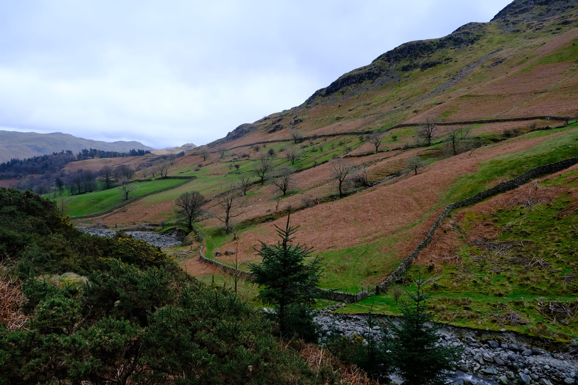
As I climbed higher into the valley, up and past the trees, I had amazing views all around me. Both pictures above were taken at roughly the same location. The first (left) looking forward and to the side, up the valley. The second (right), looking back down the valley towards the Ullswater. I was hiking away from the the lake and going up hill, so it was always easy for me to turn around and get such an amazing view of the valley and lake behind me.

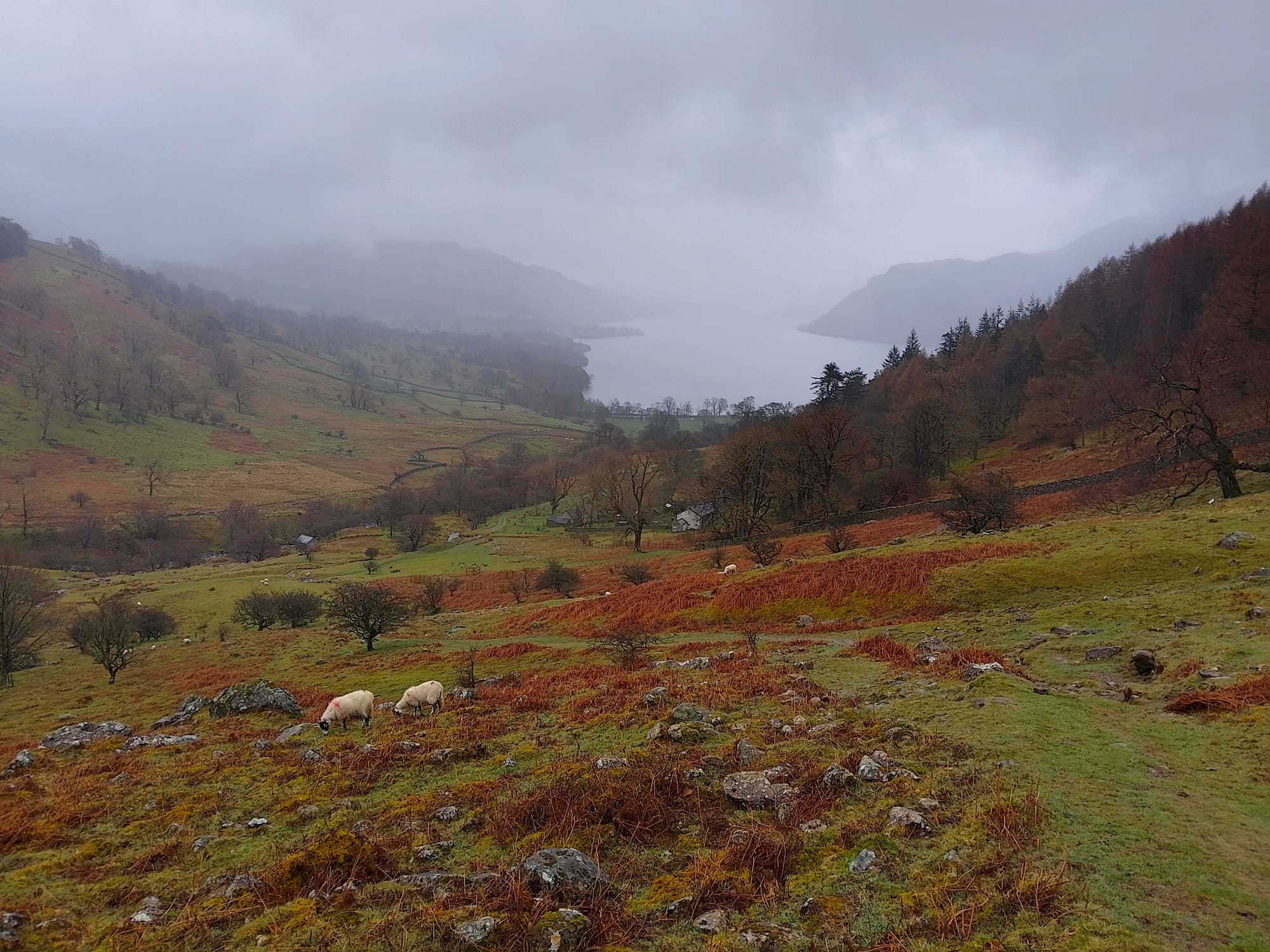
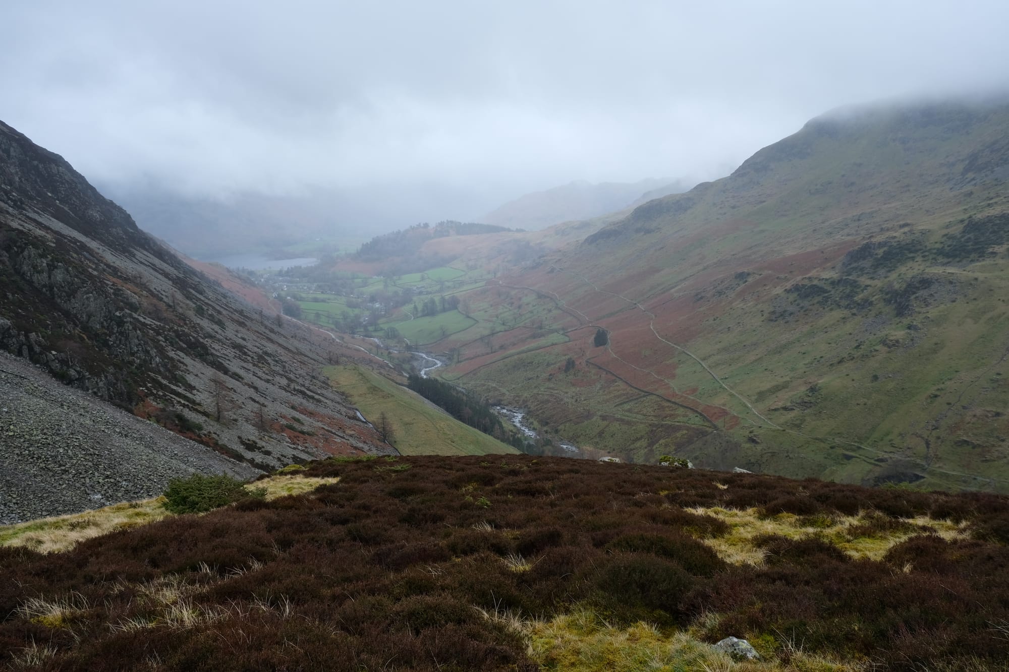
This is perhaps my favourite picture in Glencoyne. I loved this wall in the foreground and the valley extending into the distance, disappearing into the mist. This is one of the last good viewpoints I had of the Ullswater along this stretch of the hike.

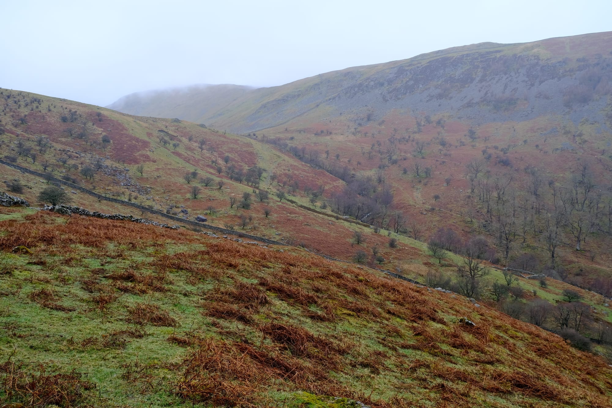
This image looks up towards the highest point of Glencoyne dale. In it, you can see the subtle U shape of the valley that indicates this landscape was carved by a glacier. Probably many of these rocks may have been pushed down the valley by an ancient glacier.
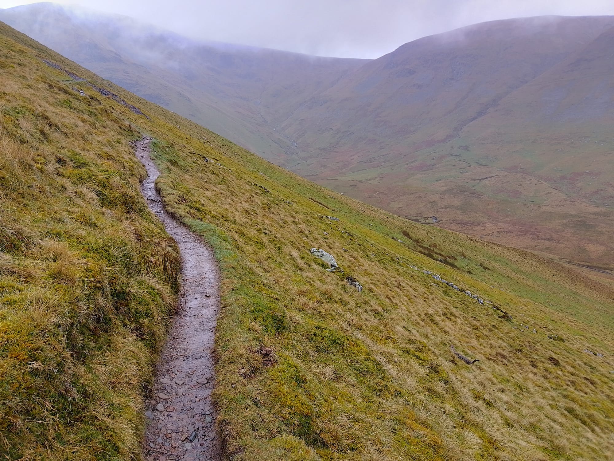
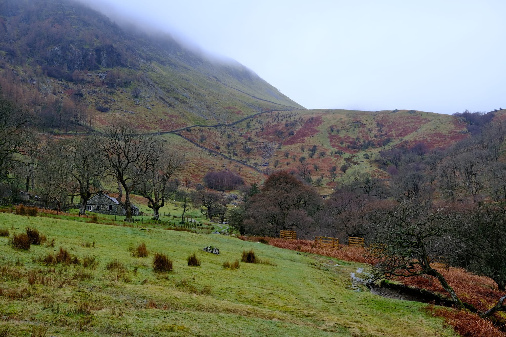
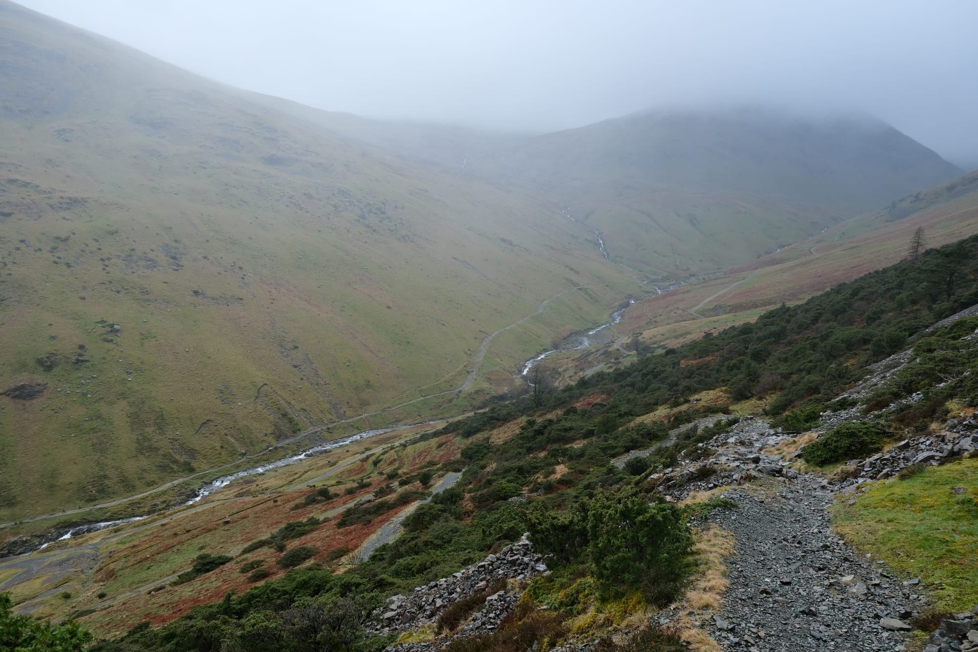
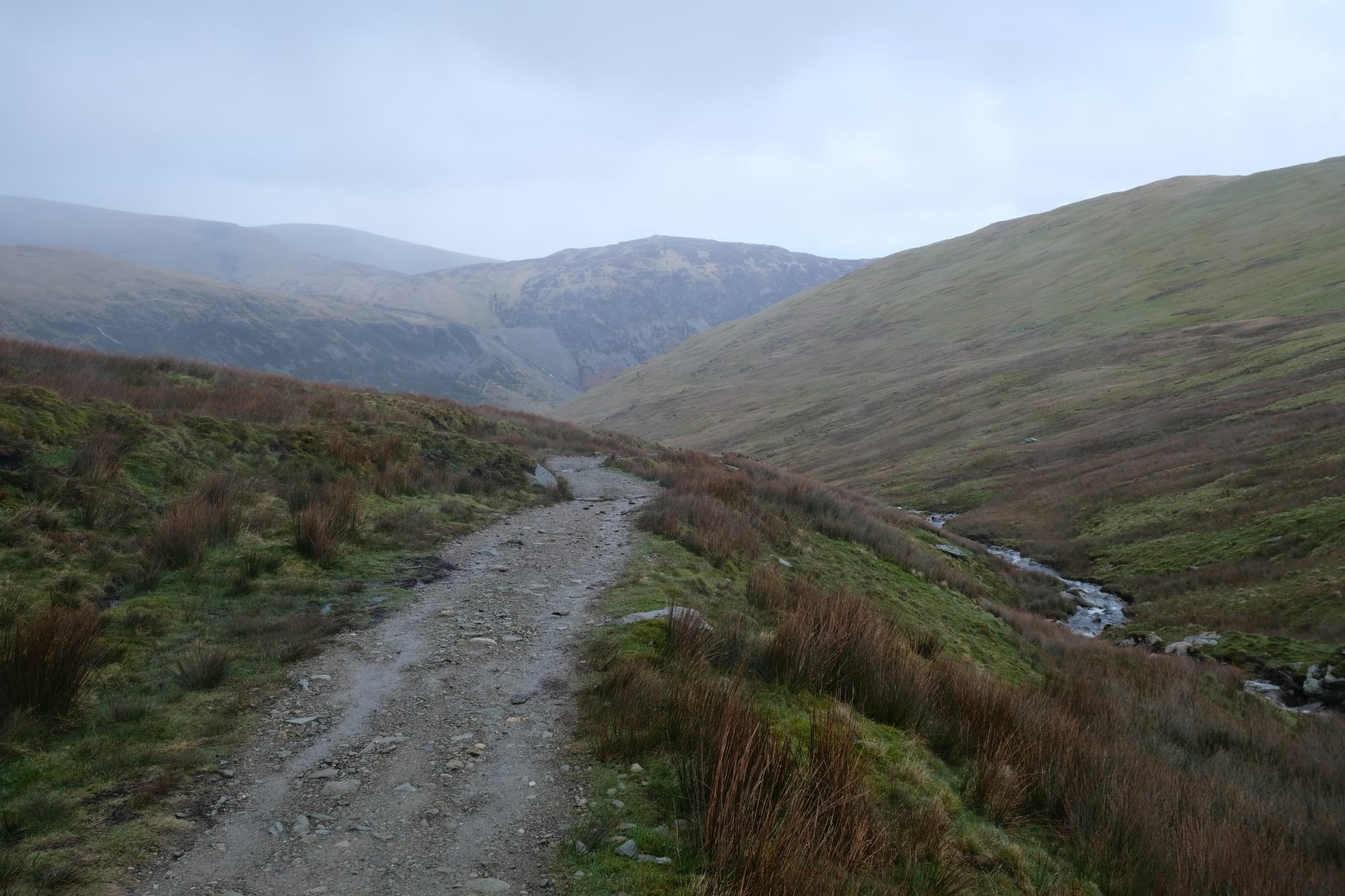
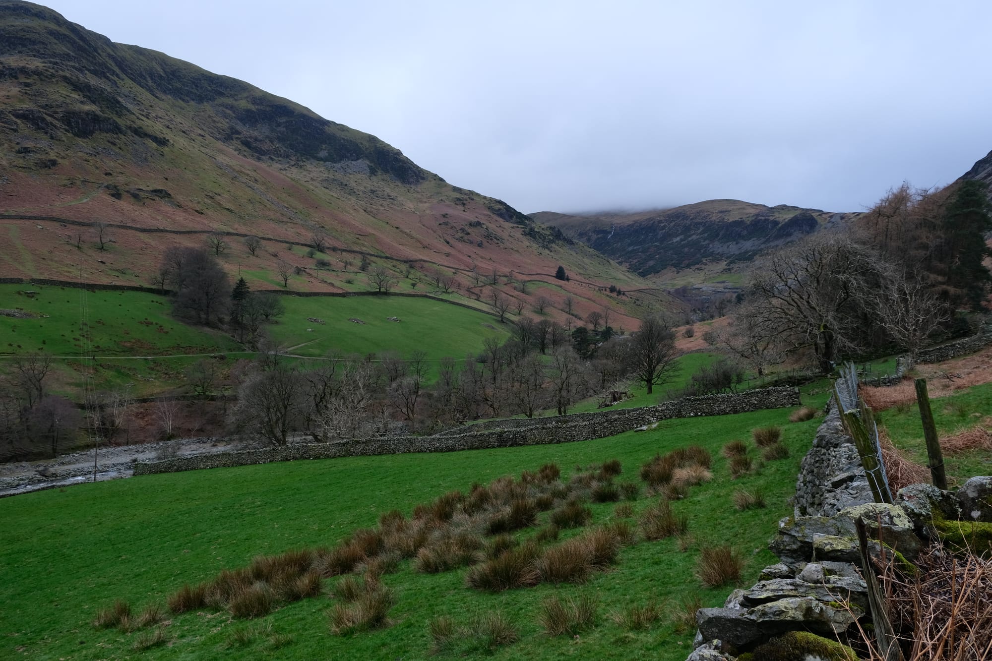
The path continued up the valley but began climbing higher and higher on the left side. Eventually, it would make its way to a saddle between two mountains.
Sheffield Pike
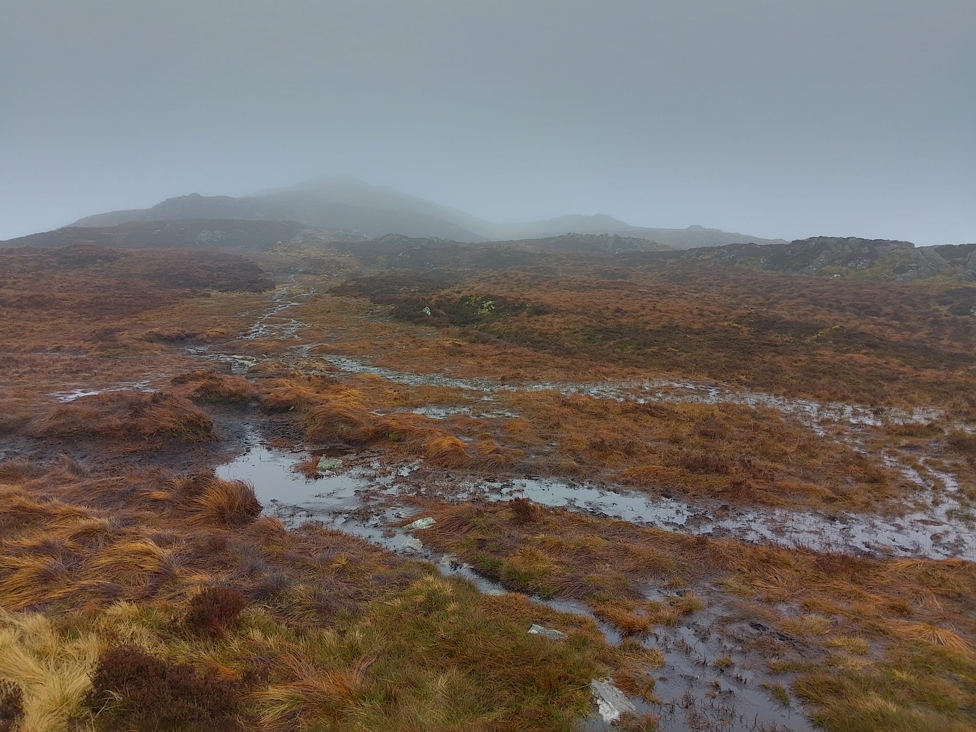
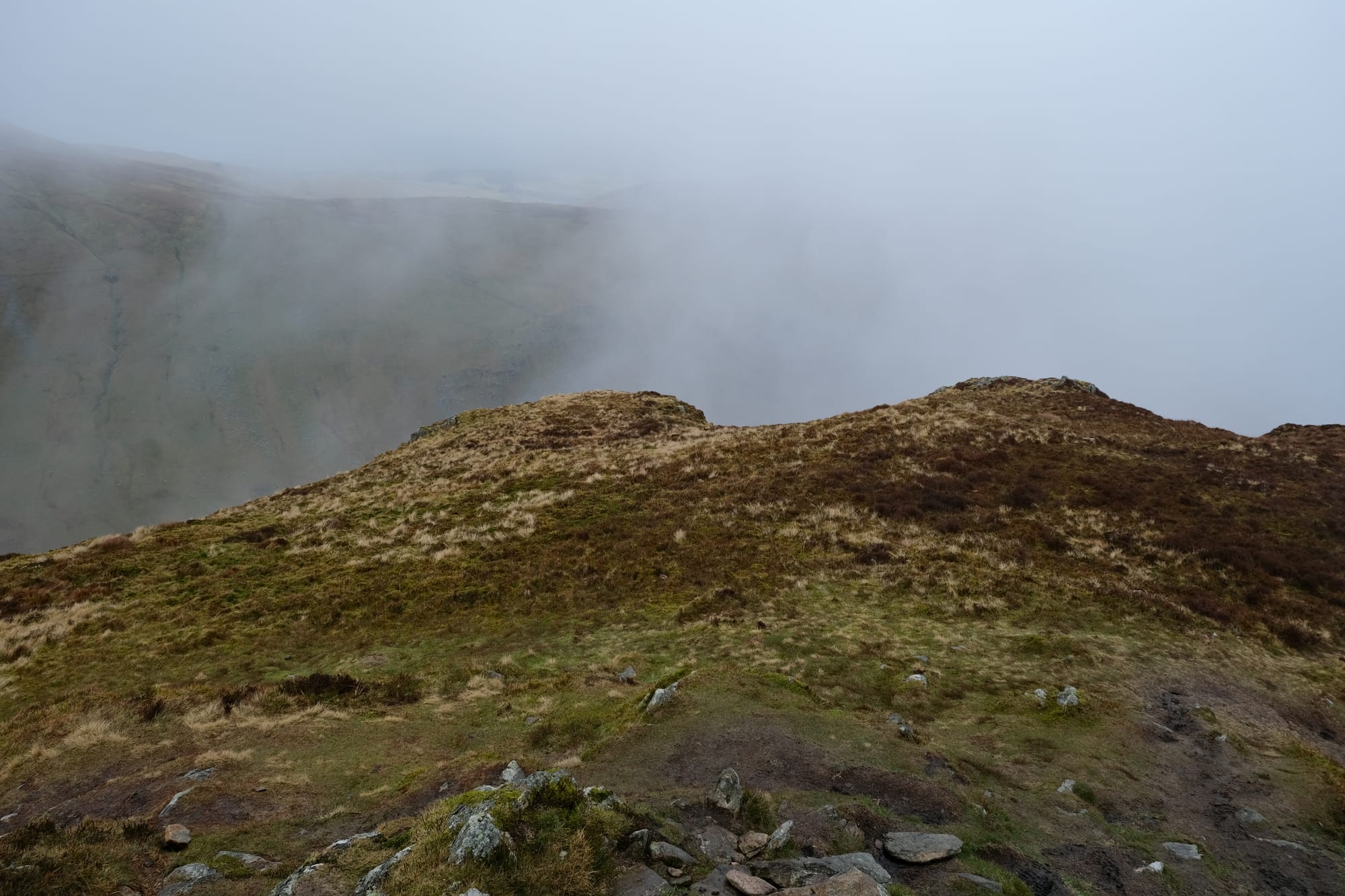
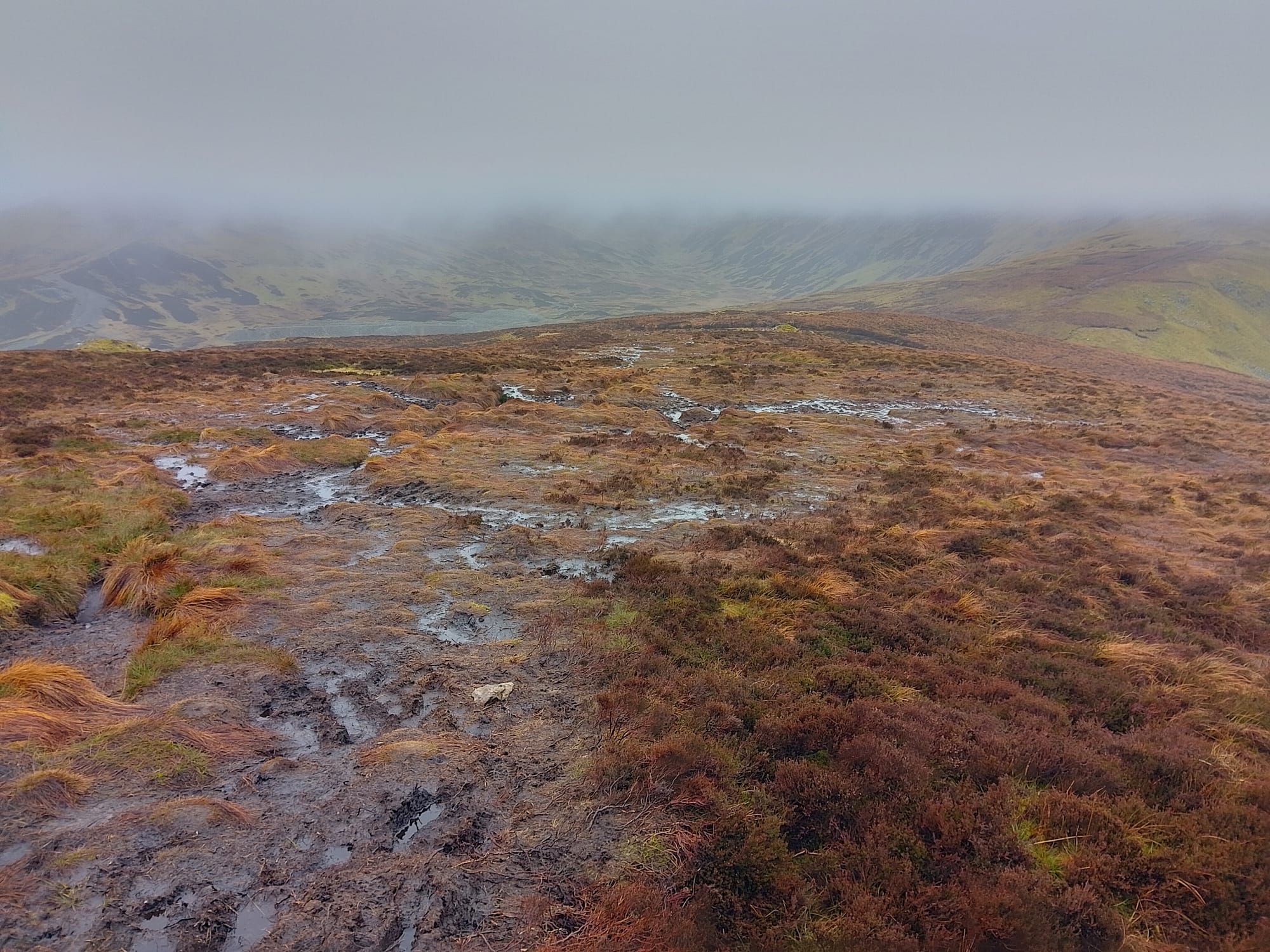
From the saddle I took a quick detour to climb Sheffield Pike. As you can probably tell from this picture, the clouds hung low over the landscape so the mountain peaks were within mist. There was also quite a lot of moisture in the air, and often there was a light drizzle, so the landscape was very water logged. For parts of the climb, I had to traverse almost a literal bog. There was so much mud and water I had to navigate my way through it by jumping over water logged sections using tussocks of grass as stable islands.

I took this image halfway up Sheffield Pike. By this point the mist was all around me and visibility was reduced to about fifty meters. Here I wanted to capture this little pool of still water that paradoxically has formed at the top of the small rise rather than at a minimum. I also loved the texture of the grass surrounding the pool and with the mist the overall image has a very ethereal tone.
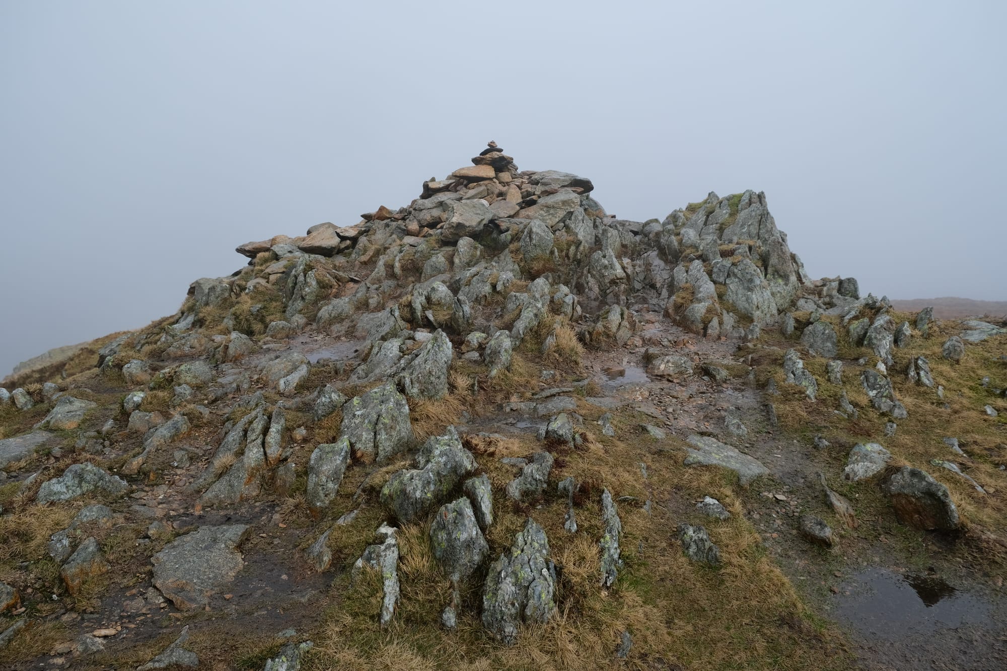
I made it to the top, to Sheffield Pike, and I imagine on a clear day there would have been some amazing views from here. Alas, the mist blocked the view, but I wasn't going to let that dampen my mood, I was still so thrilled to be out here exploring this beautiful scenery.
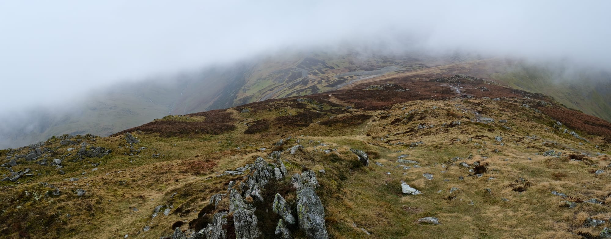
At the peak I ate lunch, and while I was there, the cloud cover lifted ever so slightly such that I had a little bit of a view into the valleys below. The mist only lifted for a minute or so, and it felt like a tiny peak to the potential of the view. This image is looking back down to the saddle from where I climbed up the mountain from. On the far right side is the Glencoyne valley, on the left, taking up much of this image, is another valley, my next destination.
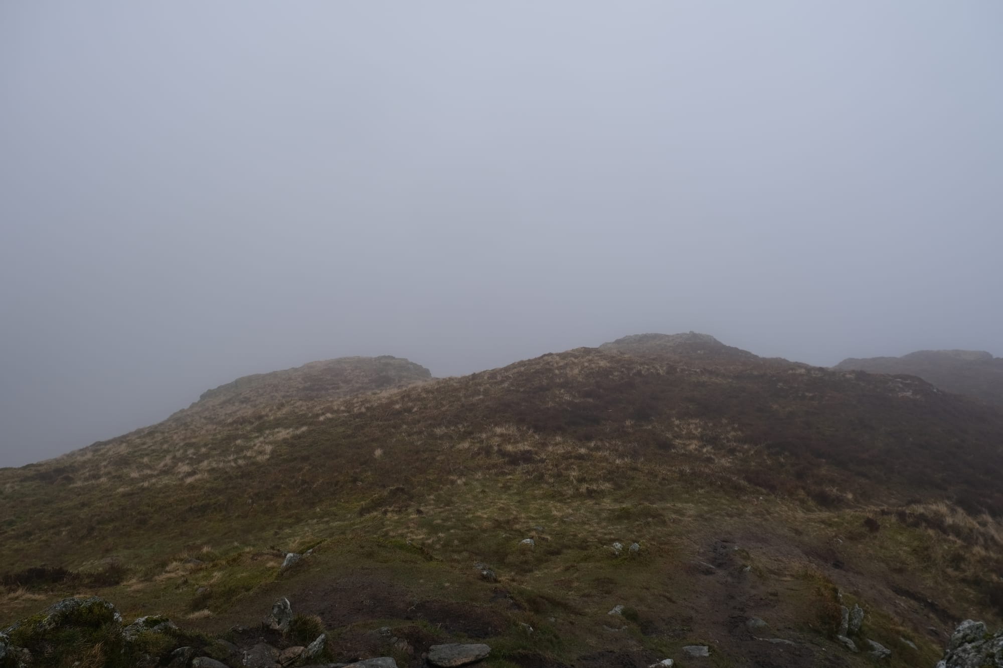
I took these two pictures from the same spot but at different times. The left (first) picture shows the scene as it was for most of the time I was there, covered in mist. The right (second) image shows the brief moment where the fog partially lifted.
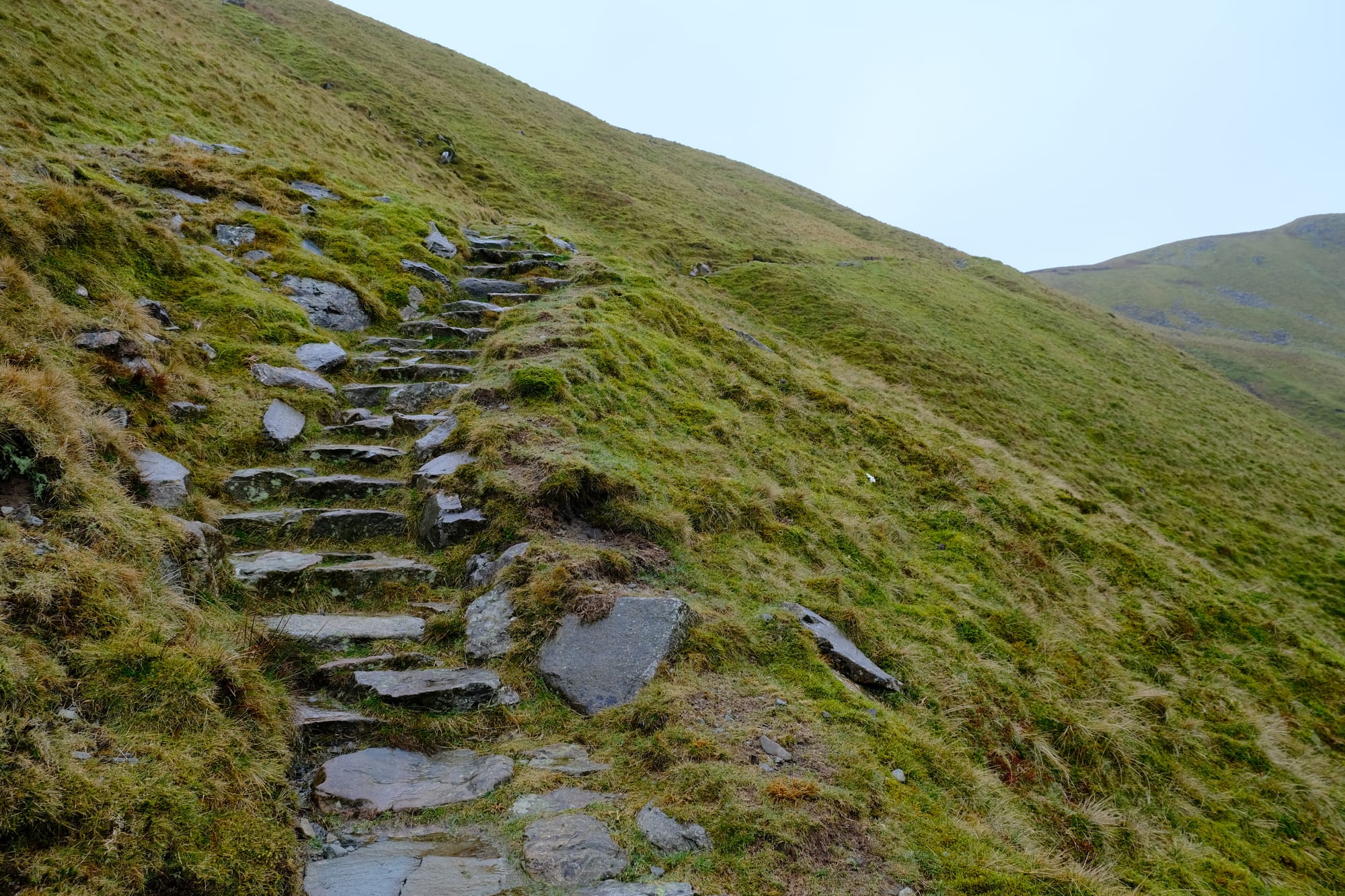
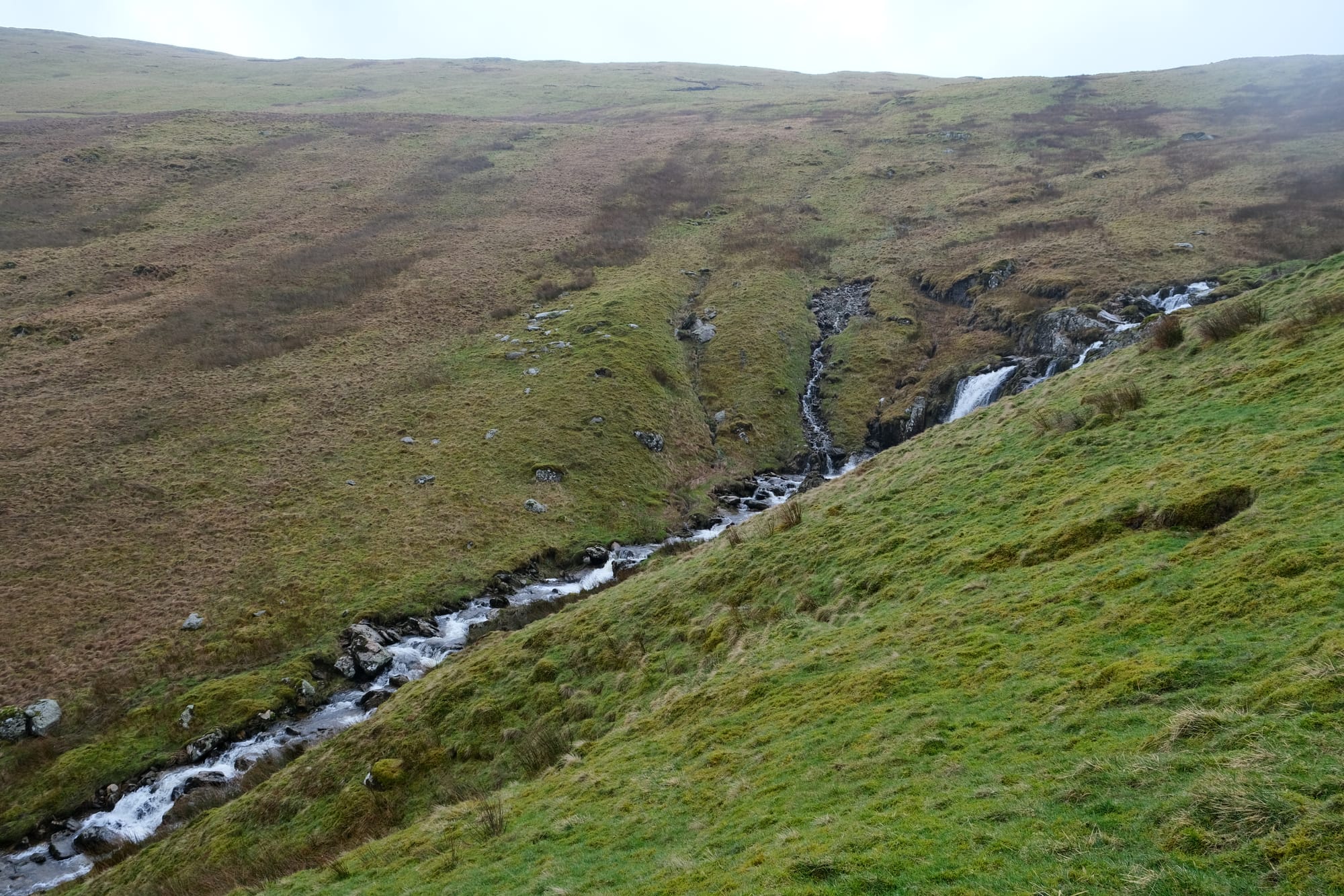
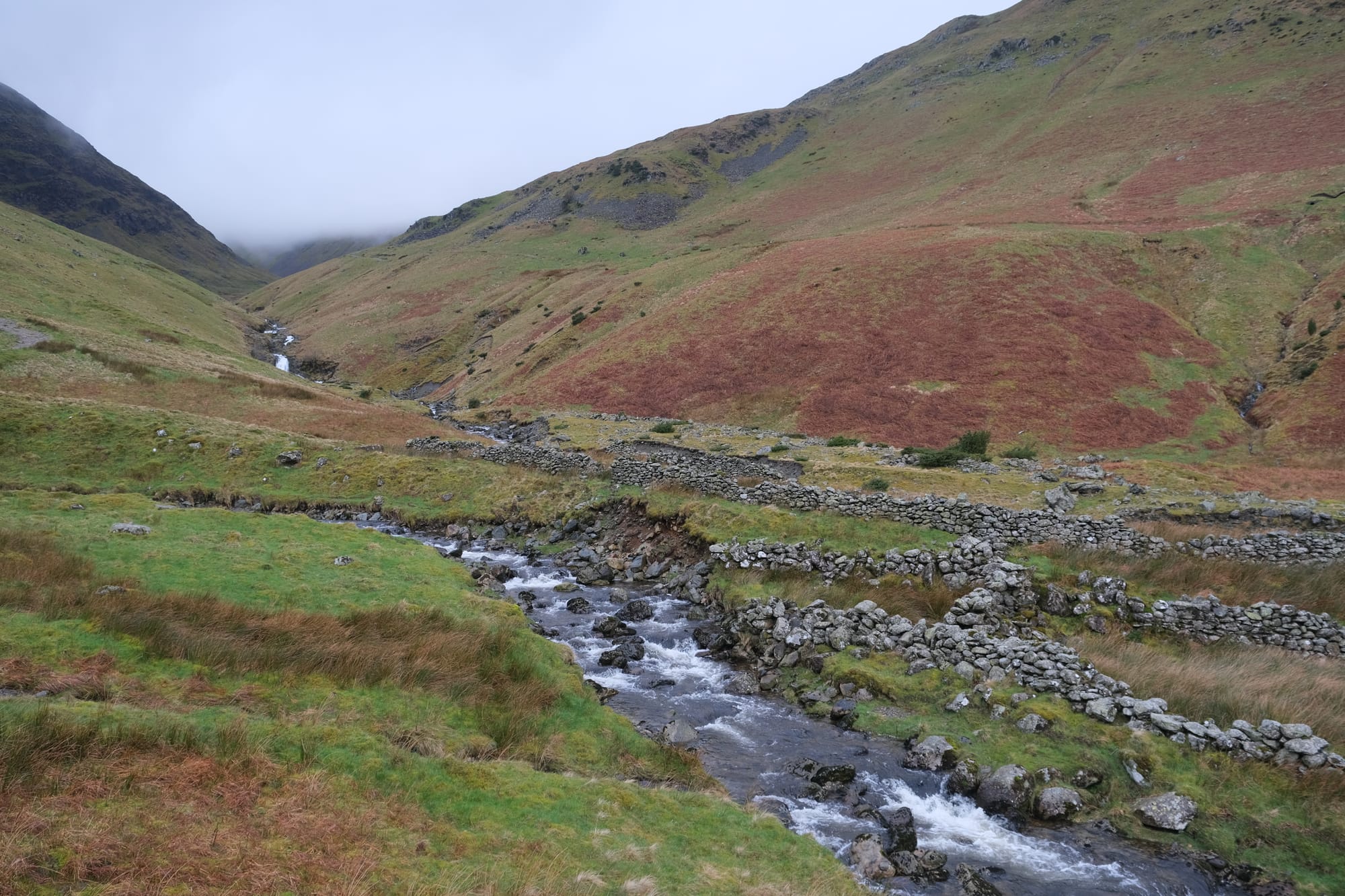
I made my way back down to the saddle, traversing the mud again. From the saddle I turned left, away from Gelncoyne and into the next valley, situated to the south of Glencyne. Sheffield Pike is part of the range of mountains that separate Glencyone dale from the much larger valleys to the south.
The Mine
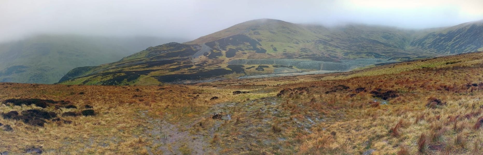
I took this panorama as I hiked down into the new valley. I was curious what those big piles of rocks were ans I believe they are the result of mining operations that used to occur in this part of the country.
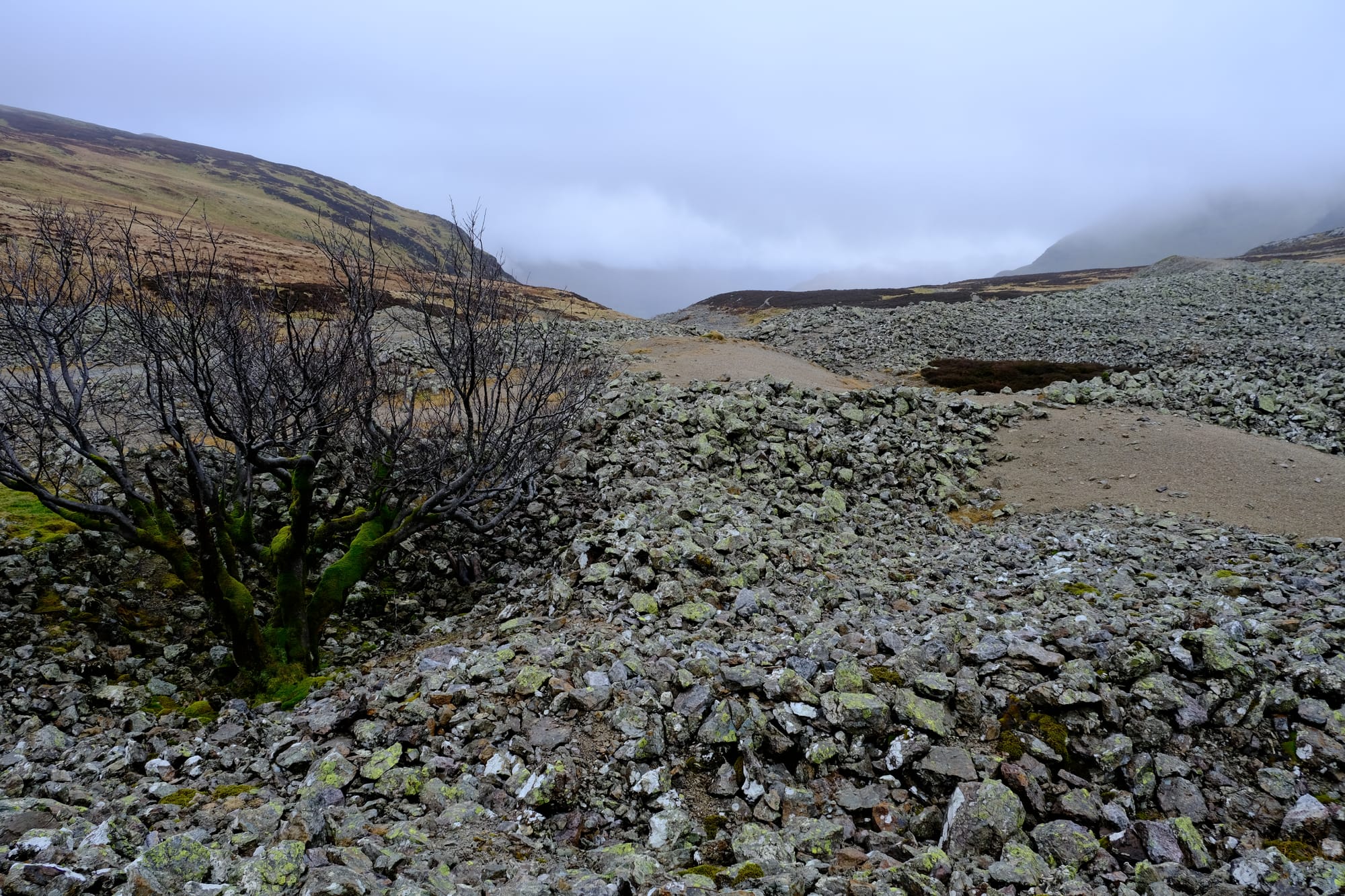
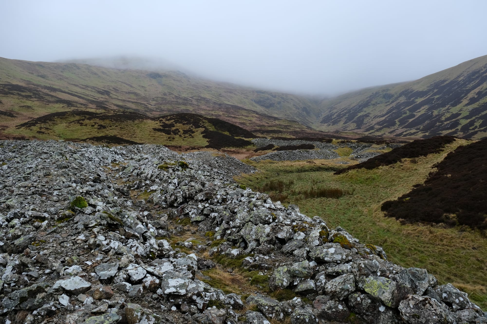
I took a closer look at the piles of rock. The clouds hung close but by now I was low enough that I was no longer in the mist.
Valley to Red Tarn

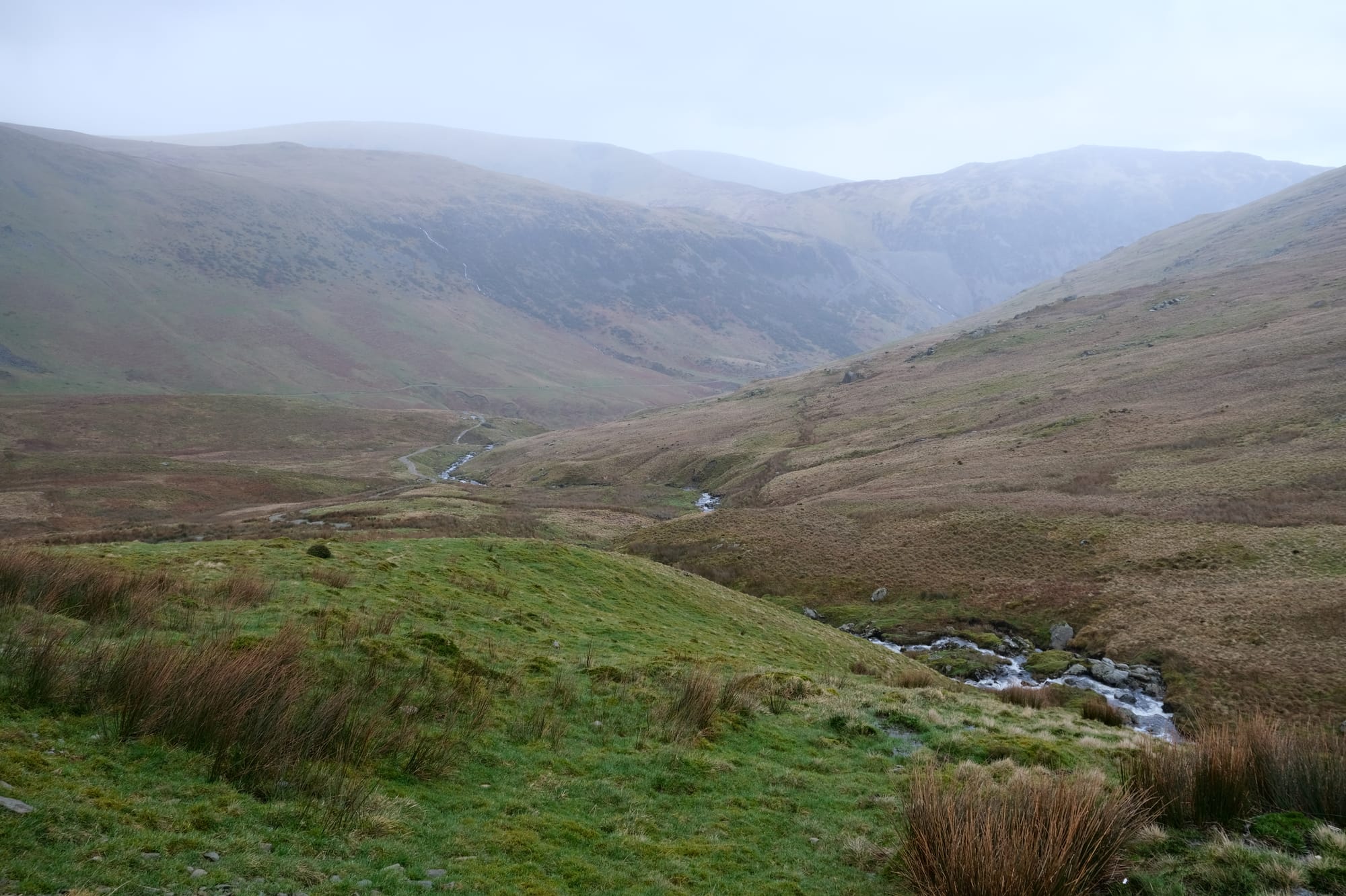
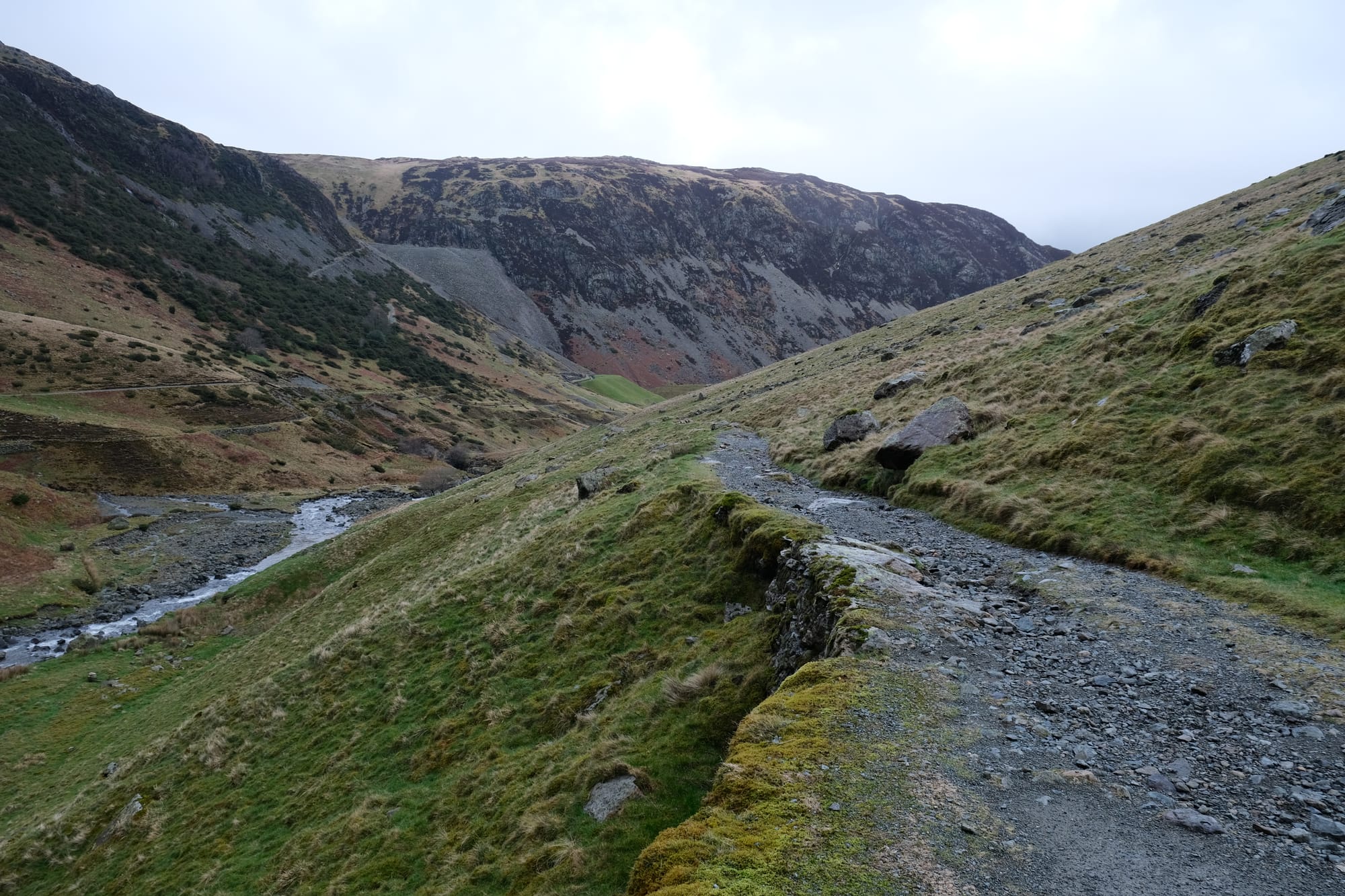
The location with the mine was still high in elevation and to continue, I needed to descend further into the valley. As I did I had this amazing view looking down the new valley towards the village of Glenridding.
On the trail I passed this beautiful tree that was covered in lush green moss.
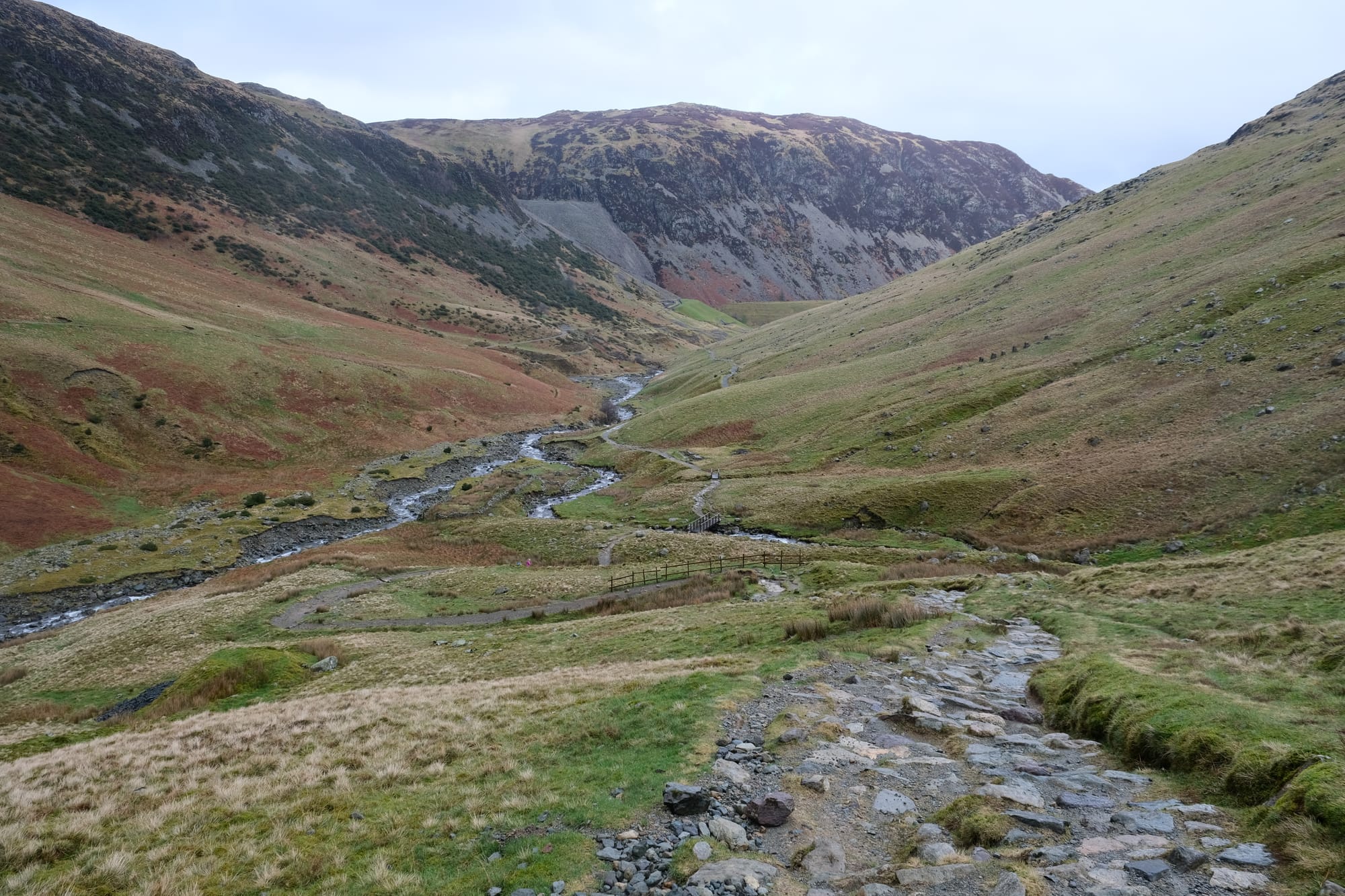
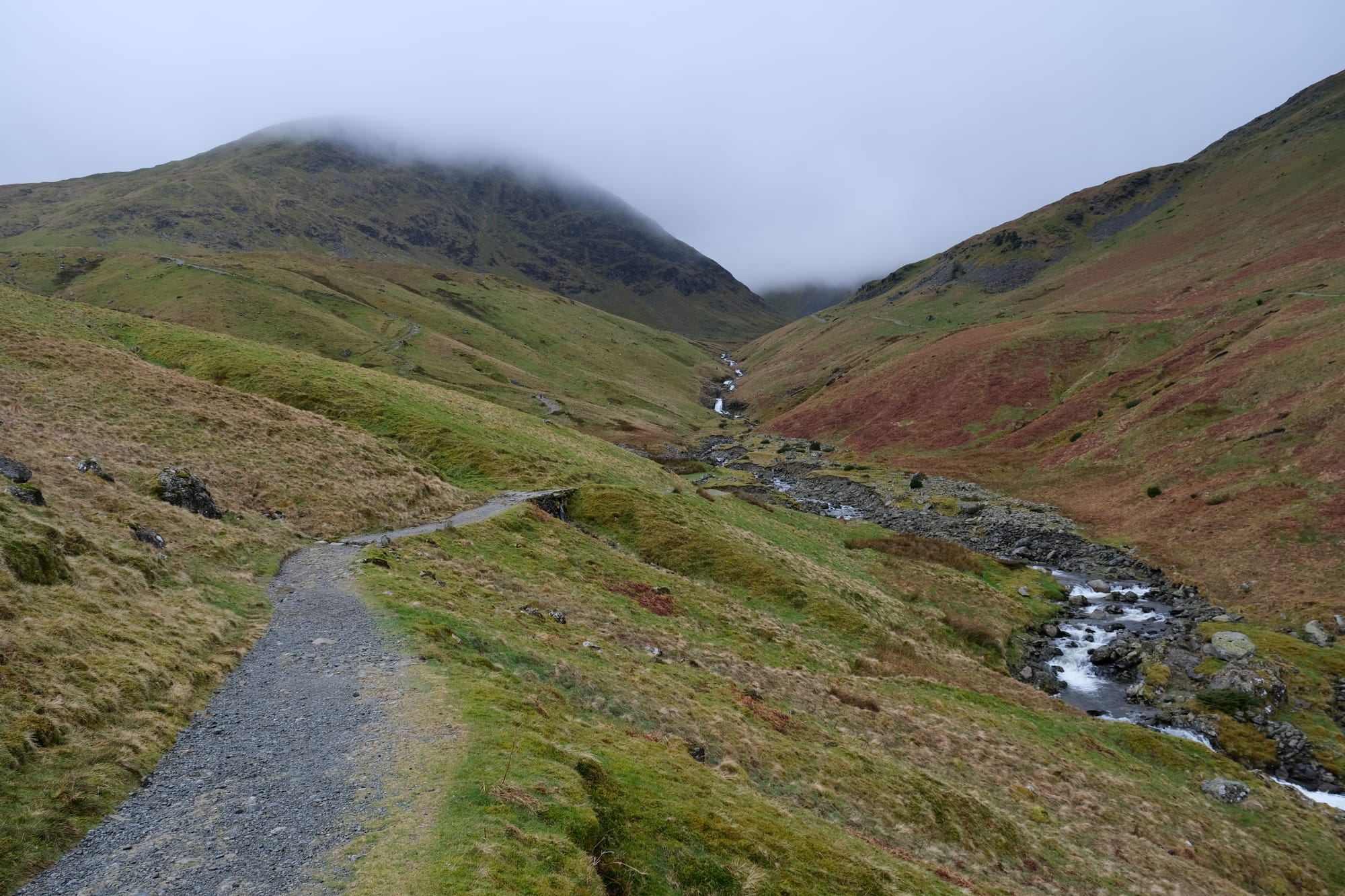
I continued down into the valley, and once I made it to the river, I could have turned left to go to Glenridding. That village is where I would catch the bus back to Penrith. However, I still had time left so instead I turned right, to explore the valley further. I went on the trail on the left side of the river, when looking up the valley, you can see that trail in the above image. Looking at the map, I could see that this trail goes to a glacial lake called Red Tarn.
I walked quickly on this track, as I didn't want to have to turn back early because I was out of time. I tried my best to calculate when I needed to turn back so I wouldn't miss the bus. The weather also worsened and there were a few heavier downpours, nothing too bad but definitely enough rain that stopping for pictures became infeasible until I reached the lake.
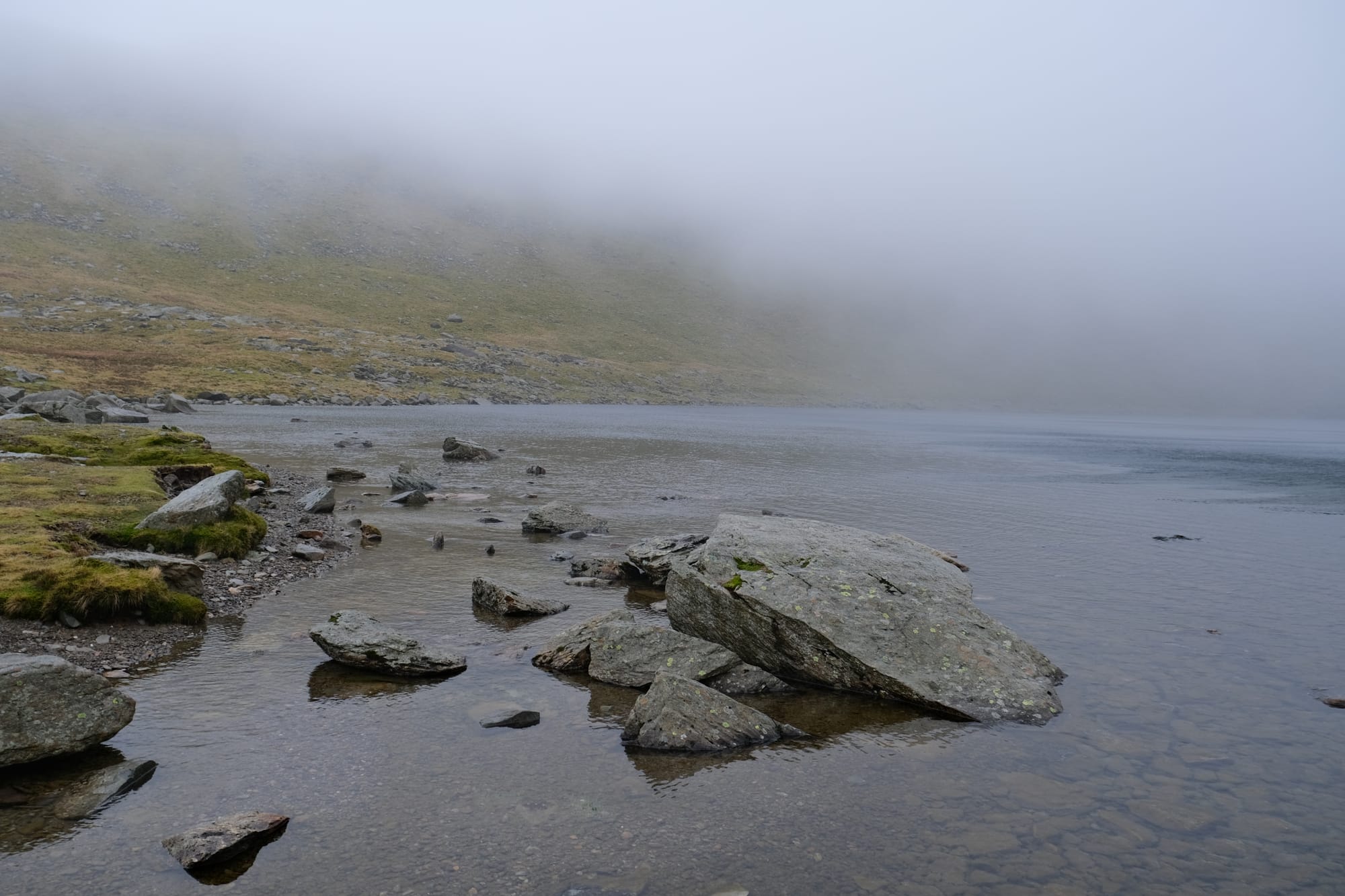
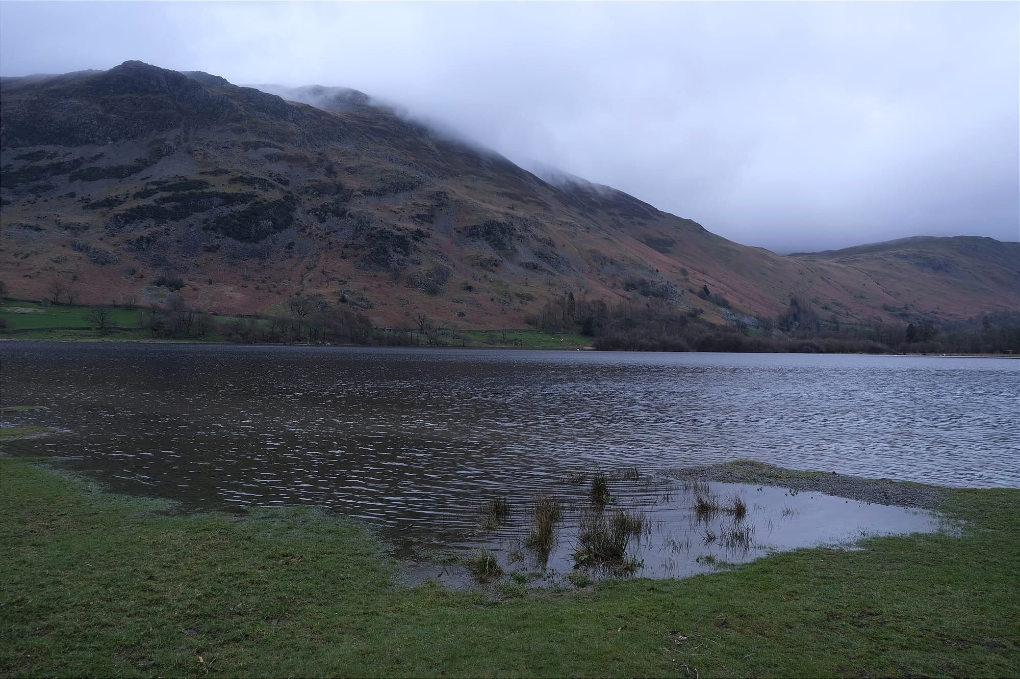
I made it to Red Tarn just in time. The lake was at a high elevation and only barely beneath the clouds. Much of the surrounding mountains were covered in mist and I could barely see the other side.
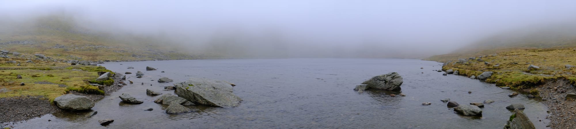
A panorama of the lake, showing both shorelines. Where I was standing was right at the outflow point, behind me was the creek that flowed from the lake. Somewhere in the mist before me is Helvellyn, the tallest mountain in the area and the third highest in England. I had originally considered hiking up to Helvellyn but I am glad I didn't as there would have been no views from the mountain this day, and I didn't want to risk getting lost in that low visibility environment.
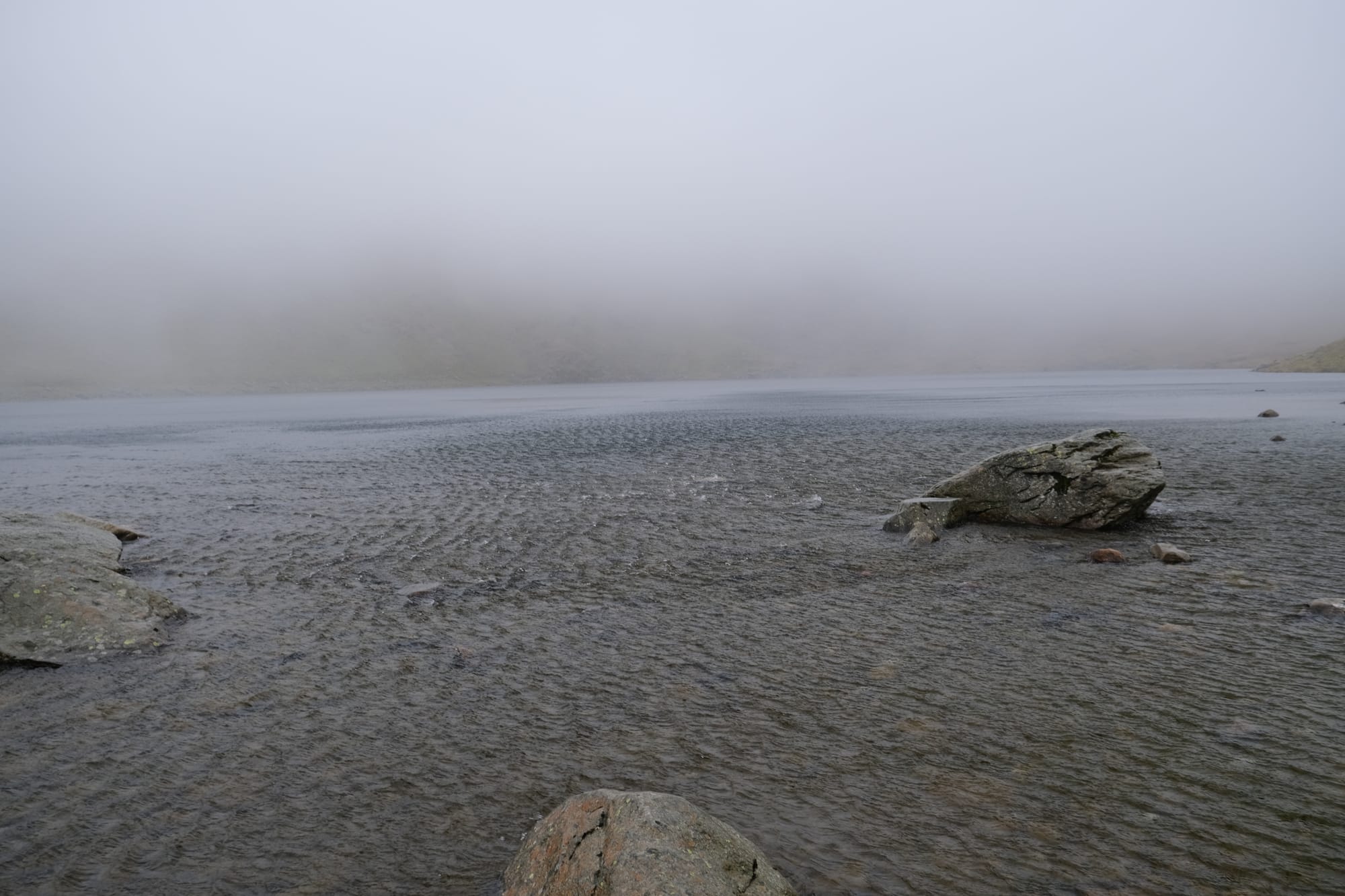
I only spent about five minutes at the lake but in that time there were numerous strong gusts of wind. The wind came at me from across the lake, and I could see the gusts approaching me by how strongly they disturbed the water. In the above picture you can see just how much the water surface was broken by the wind.

An image taken further back, capturing the river that flows out of Red Tarn.
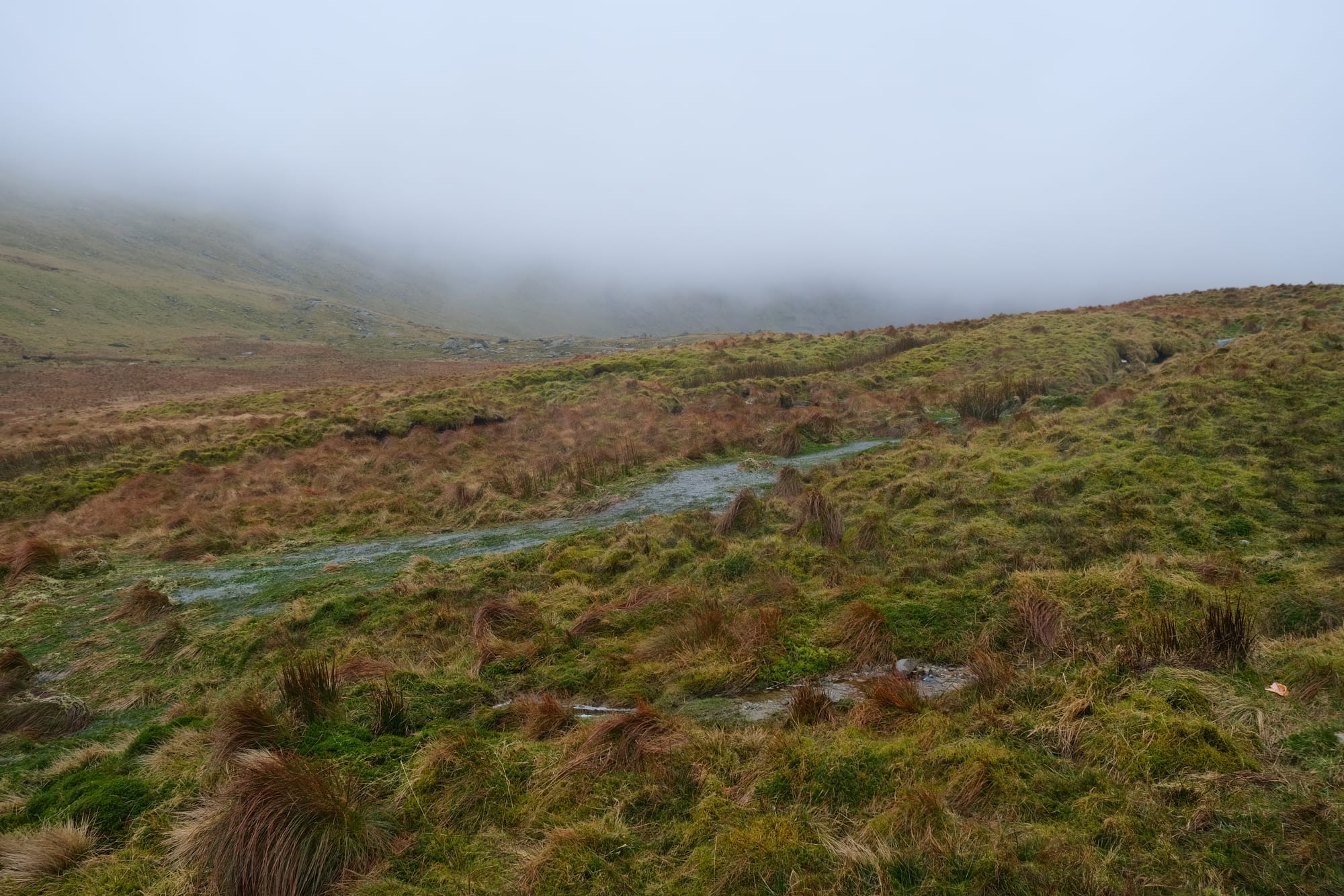
On the way back from Red Tarn the weather improved so I was able to take many photos. These images were taken while going down from the lake back into the main valley. All along this route I could see the creek that flowed from the lake and it is featured in many of the pictures above. The last image shows where this creek joins the main valley.
This is one of my favourite images from the day. There is a bridge that crosses this creek, and from there I was able to capture this photo. I used a film simulation setting on my phone to draw out the vibrant greens and yellows of the landscape.

I took this image earlier, before the last one, but I wanted to include it as another image to highlight the beautiful vibrant colours of the landscape. I love that this landscape is bare of trees and instead is adorned by all sorts of different grasses and shrubbery. I love how there are different shades of grass, from lush green, to familiar yellow, and vibrant red. The grass provides a beautiful clothing for the landscape that accents and highlights the underlying form of the mountains. This type of wilderness is absolutely my favourite environment.
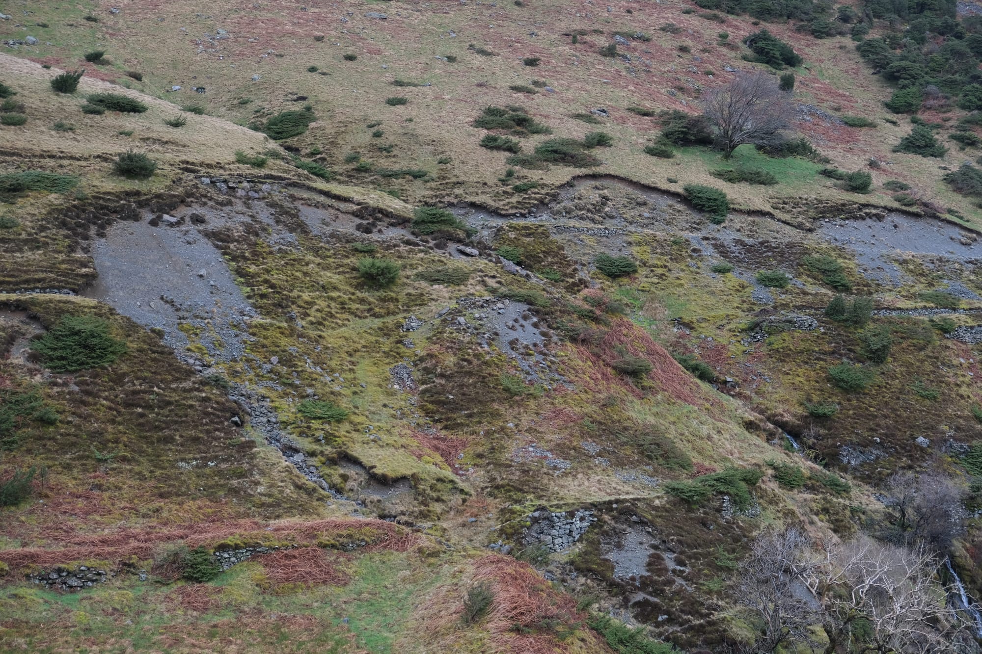
Some more photos I took as I continued down the main valley. There were a couple interesting features I noticed on this section that I captured above. Shown in the first image I saw what looked to be old rock walls, perhaps the ruins of a structure from long ago. I also saw markings on the landscape that looked to be the result of mud slides (see third image). Most of all though, I just absorbed the scenery as I trecked to Glenridding.
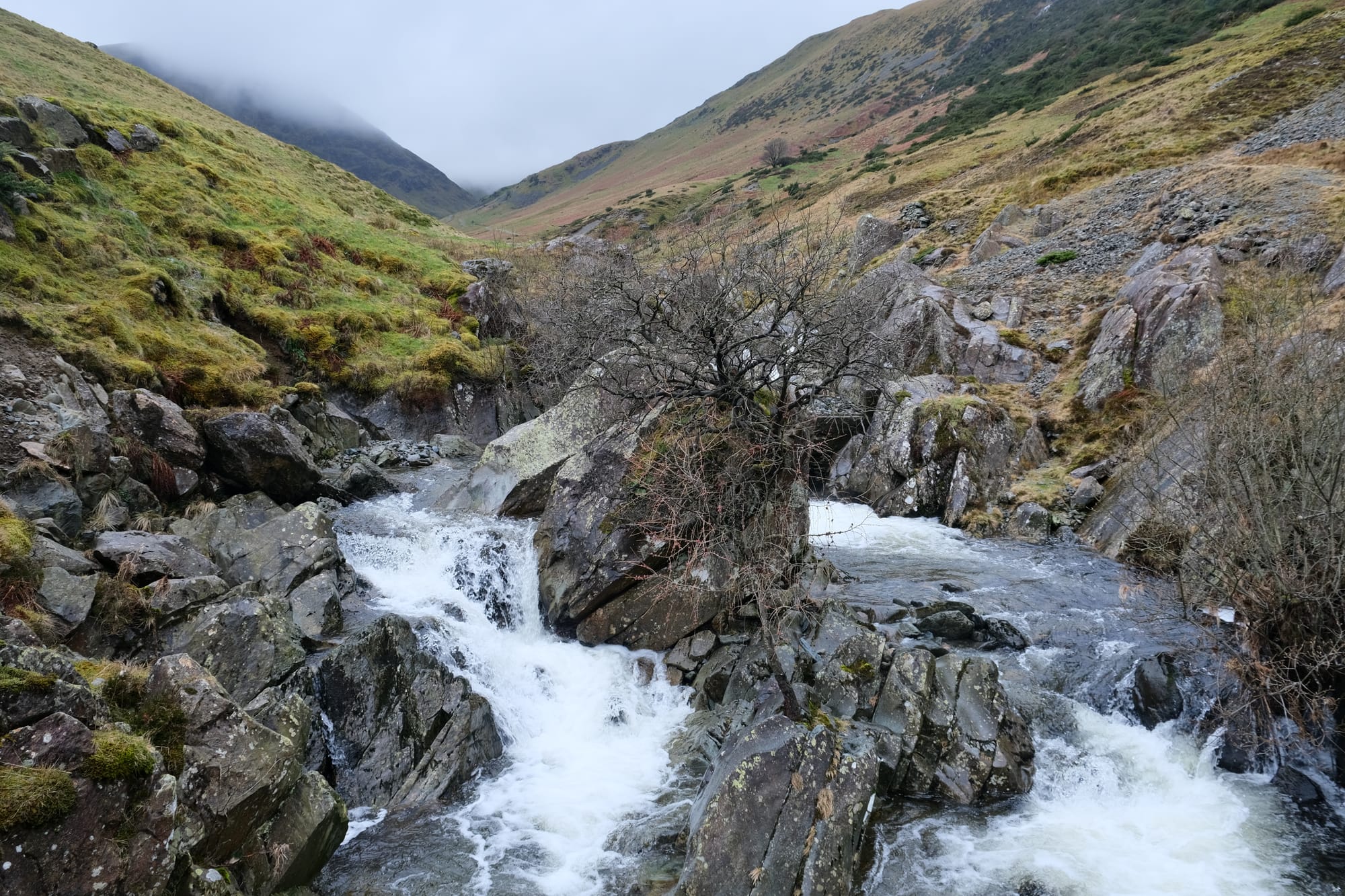
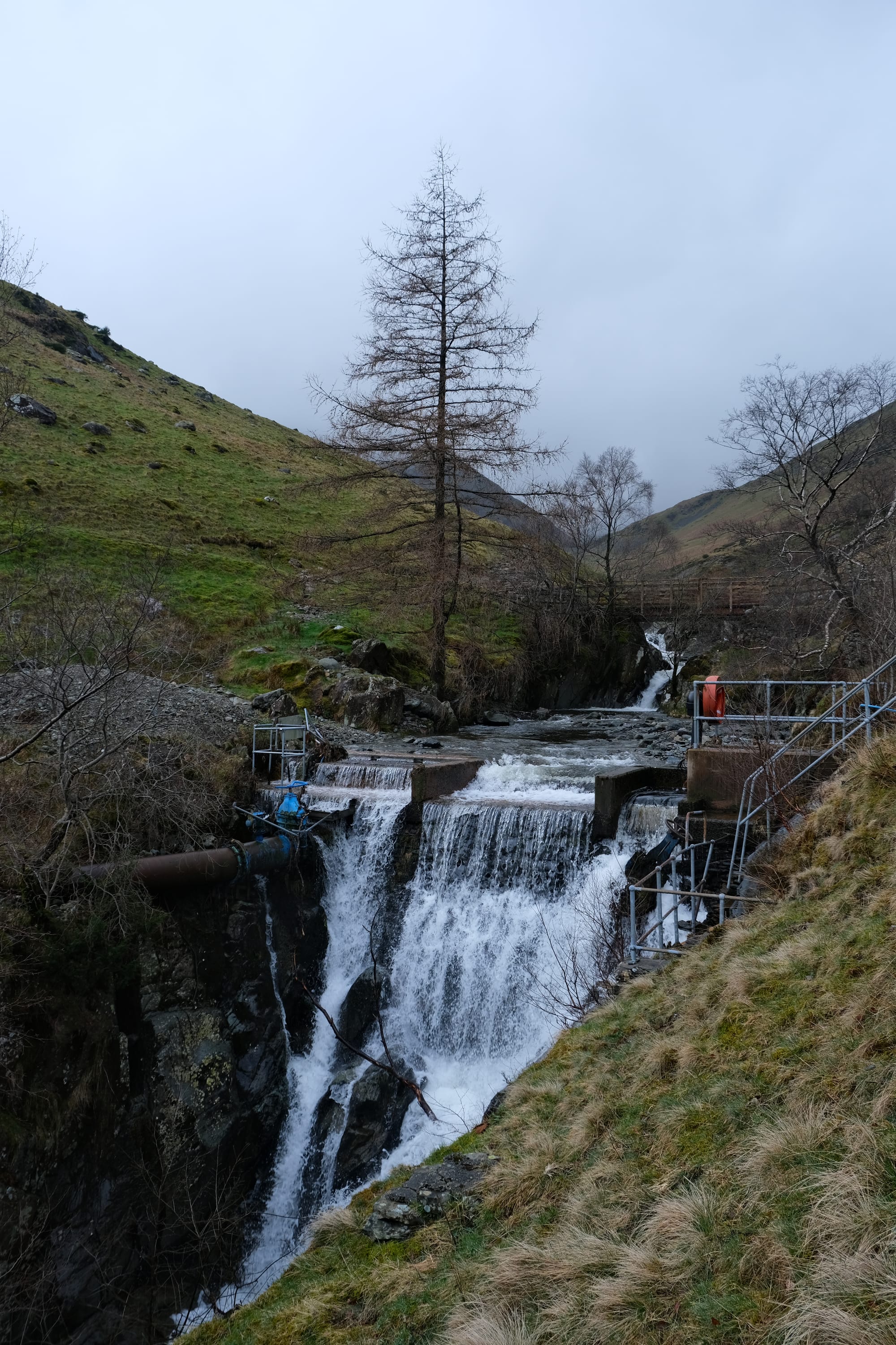
At the intersection where I joined this valley, from Sheffield pike, there is what appears to be a man made waterfall, along with some rapids. I didn't photograph this when I had been here previously as it was raining but now I had time and the sky was clearer.
I continued down the valley towards Glenridding. As the valley descended further the wilderness gave way to farms. The scenery was still beautiful but now it was tamed with quaint rocky walls and pretty pastures.

The path became a road and went passed some really beautiful local houses that I imagine would be so lovely to stay at. With the advent of these houses I was essentially right at the outskirts of the town.
Ullswater and Glenridding
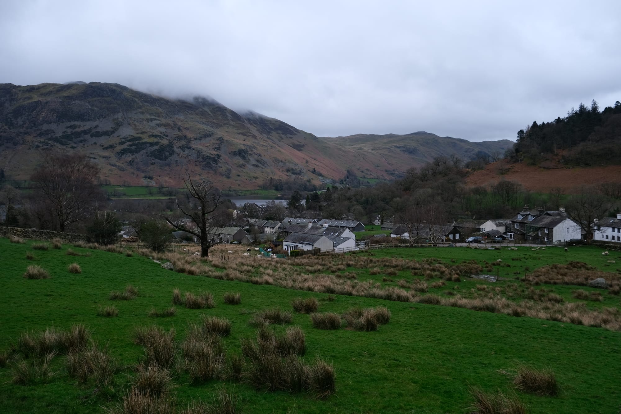
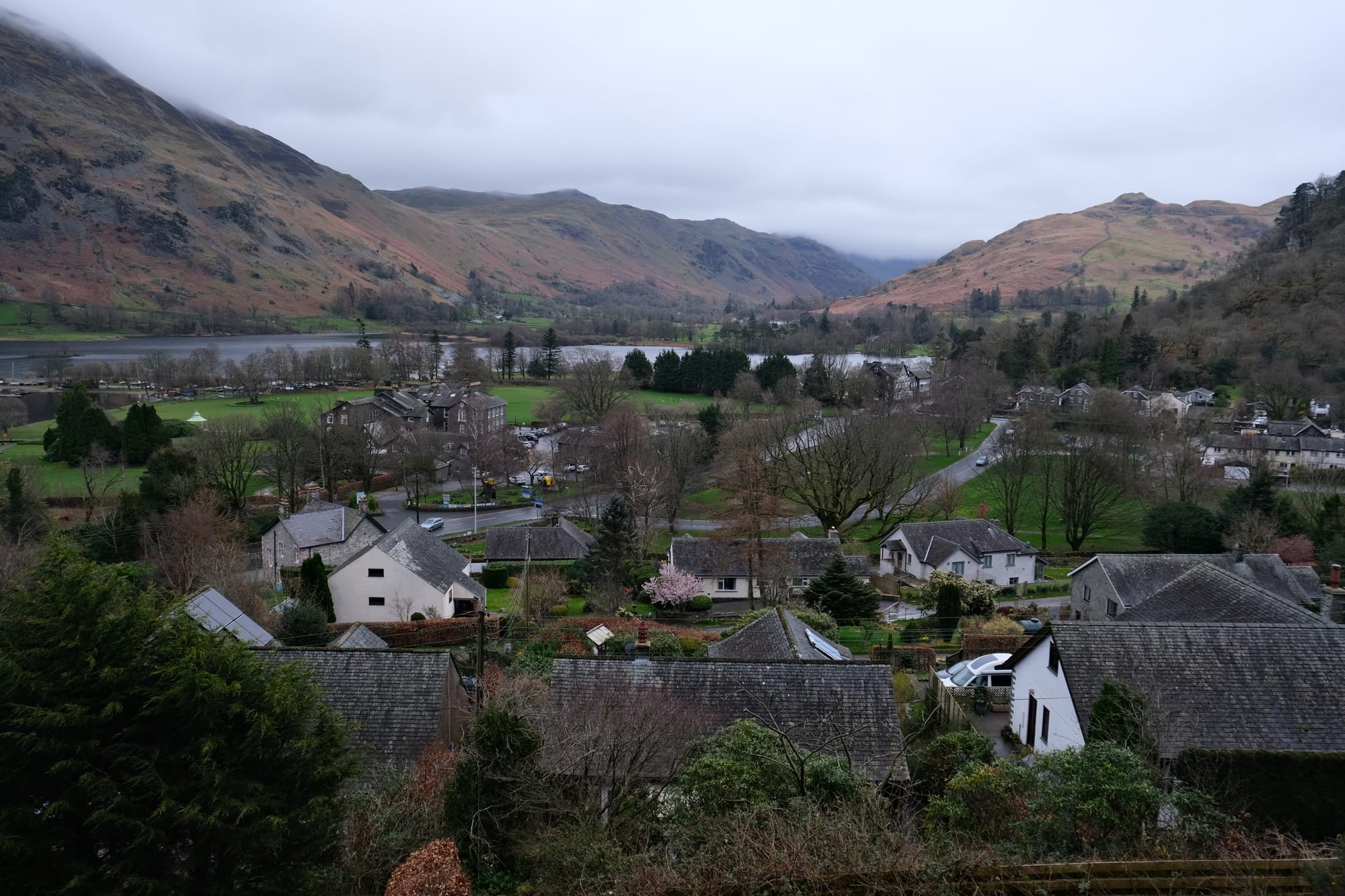
Continuing on the road, I had some nice views of Glenridding. By this point, I was no longer worried about missing the bus, I had plenty of time before it arrived here so I took the opportunity to go to the lake and explore the town.
I found this nice park bench that overlooked the lake (from where I took this picture) and there I rested for a few minutes. I was tired after a long day of walking and this was a beautiful spot to be still and enjoy the scenery.
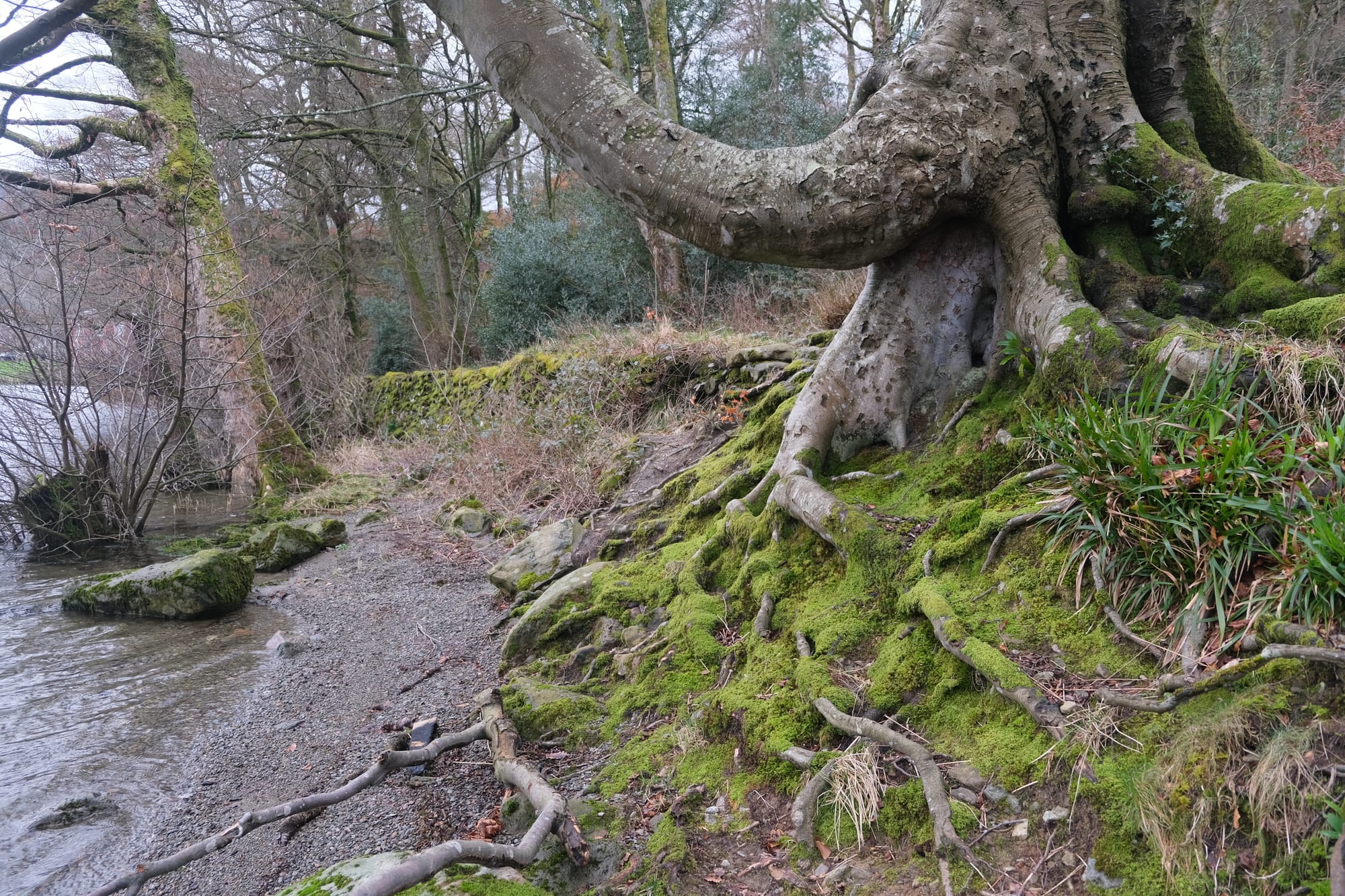
Next to the lake I found this tree with a tangled root system covered in vibrant green moss.
I walked over to another section of the shoreline where I took this picture. There is a ferry here that takes customers on tours of the Ullswater, its definitely something I would consider doing if I ever visit this part of the Lakes District again.
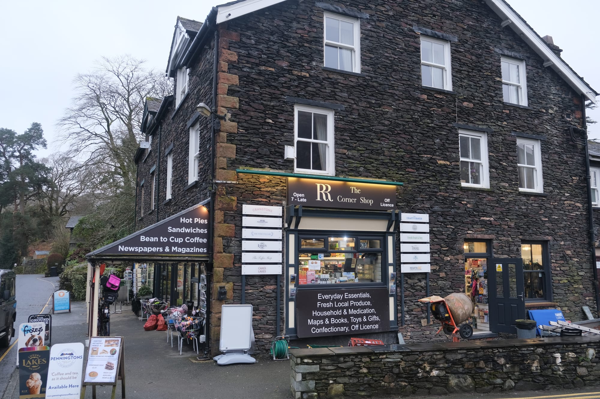
I thought this little corner store was really cute. I bought a coffee and caramel slice from here before going to the bus stop.
I loved this little wall and sign in Glenridding. The top of the wall was beautifully adorned with flowers that were just now coming into bloom.
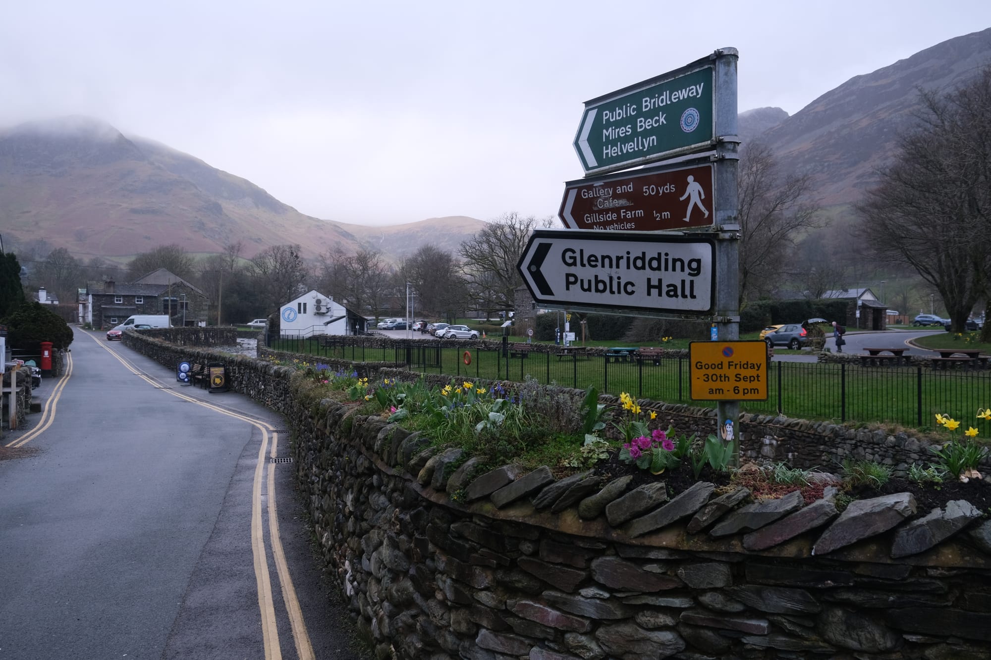
I was able to catch the 5:00 pm bus from Glenridding back to Penrith. This was the last bus of the day so it was absolutely imperative that I catch it, otherwise there were no other public transit options to get back to Penrith, and therefore my train back to Blackpool. I had structured my entire day around making sure I would be able to return in time for the bus, and even with that limitation I was still able to see and explore the national park to the full extend I was hoping for.
Penrith Castle
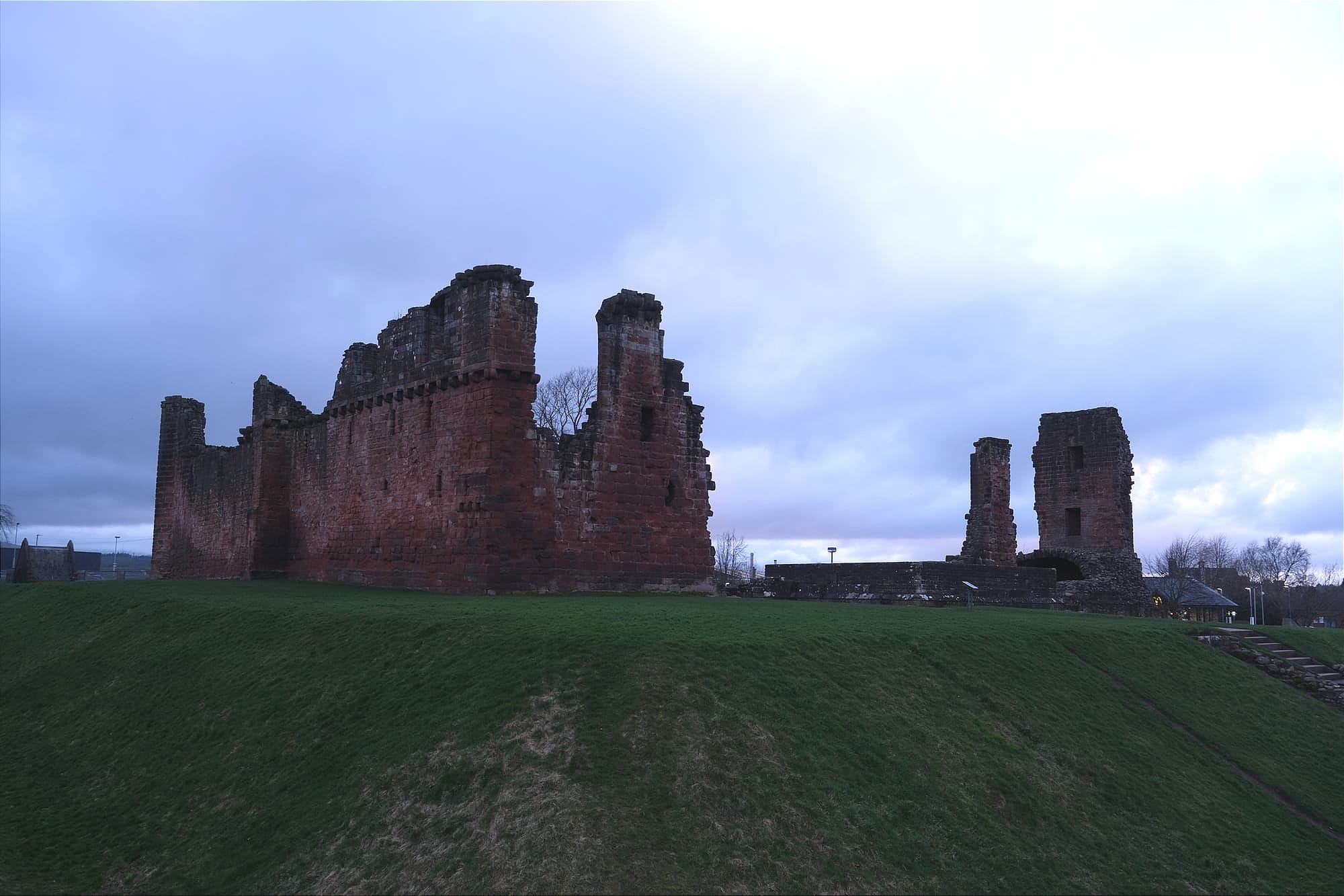
Back at Penrith, I saw on the map that there was a castle here, so I had to quickly go check it out before the sun set.
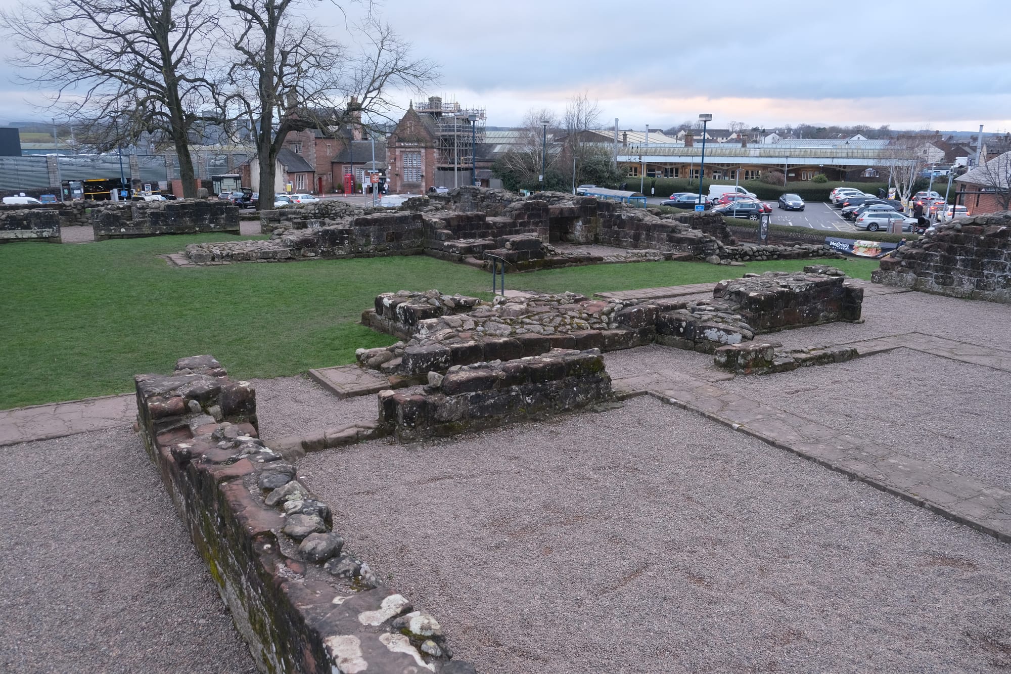
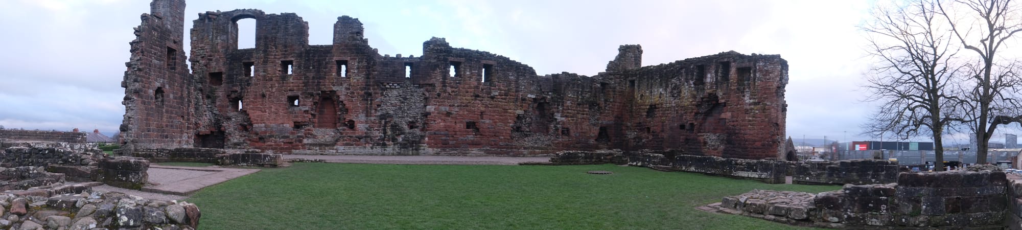
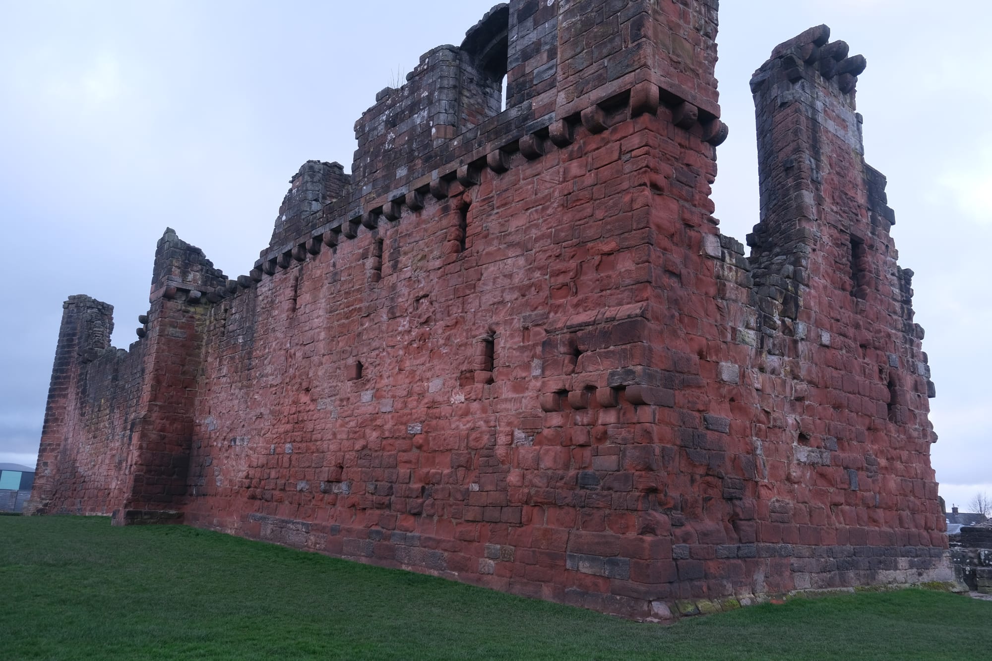
I found the old ruin fascinating and I walked through it imagining what this place must have looked like in the past.
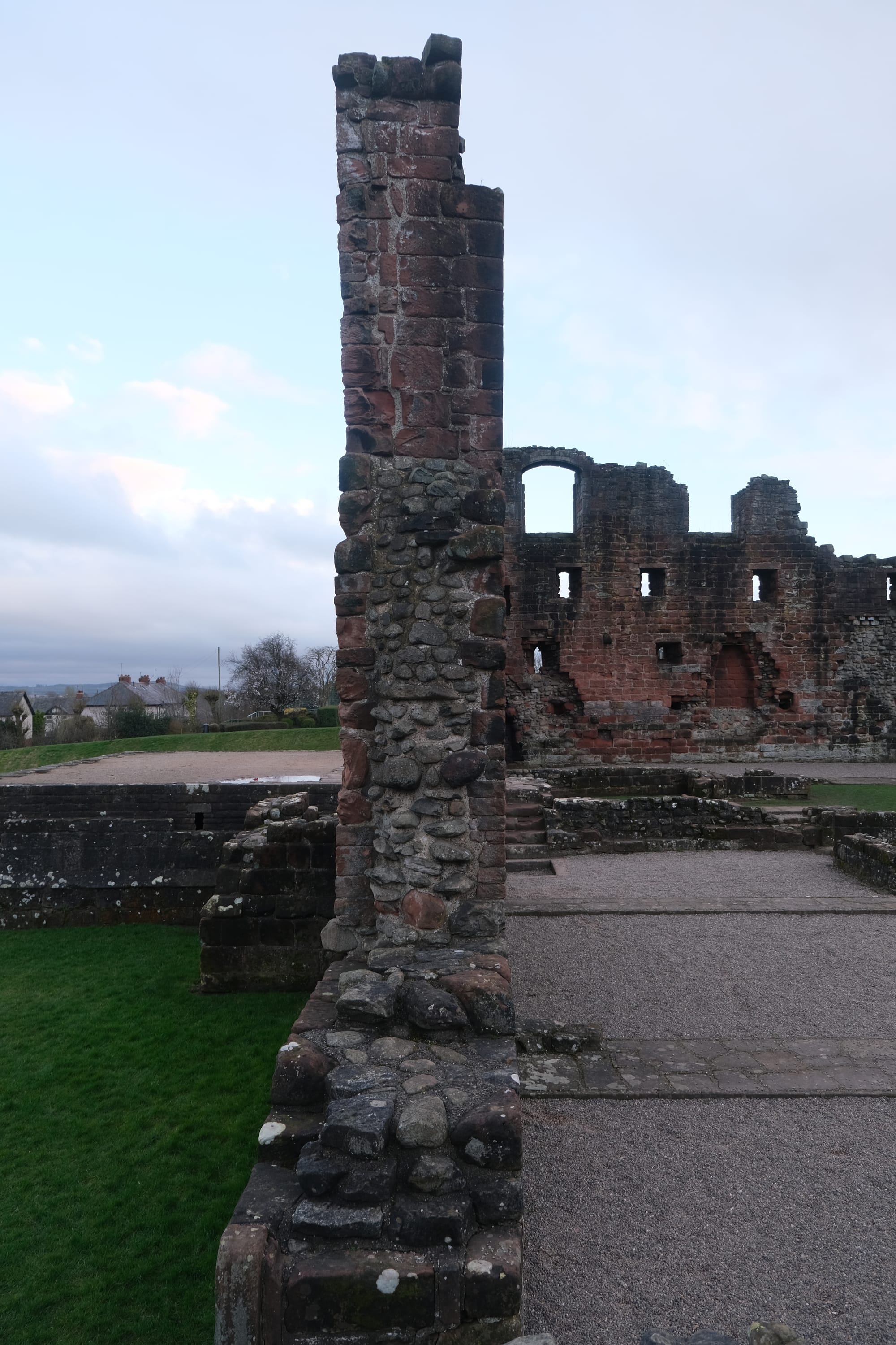
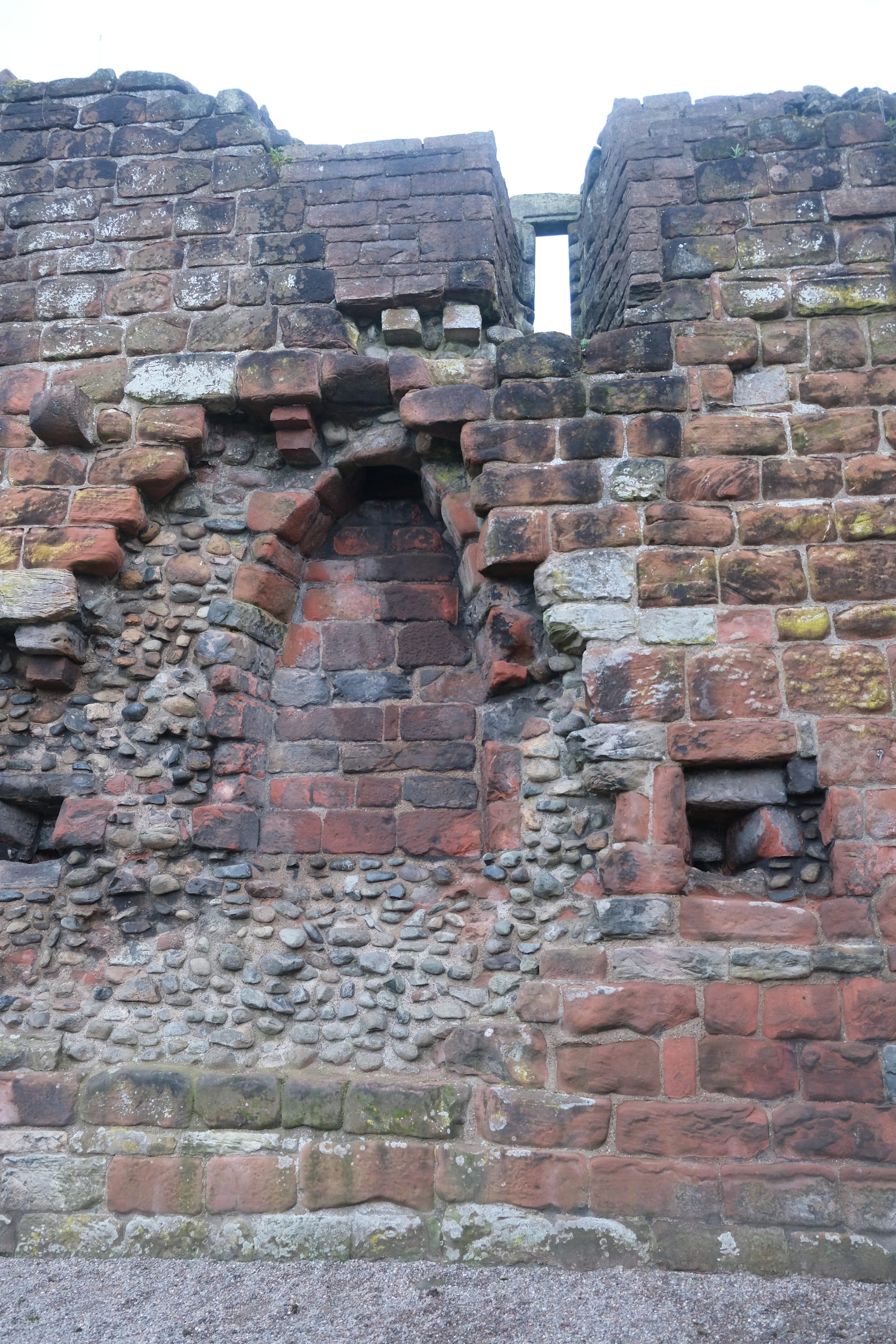
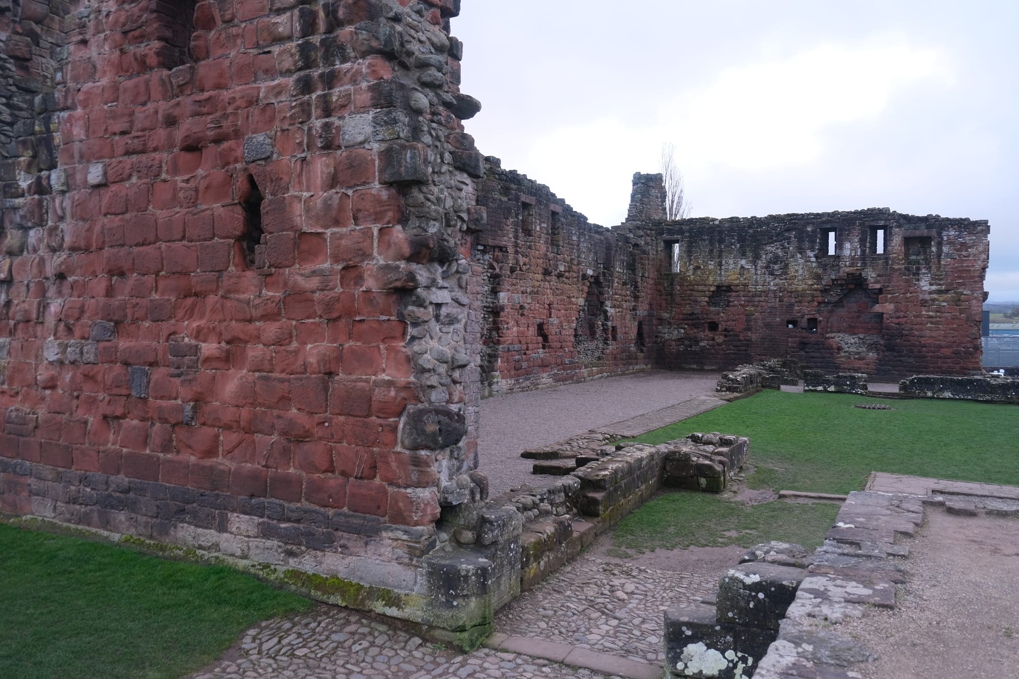
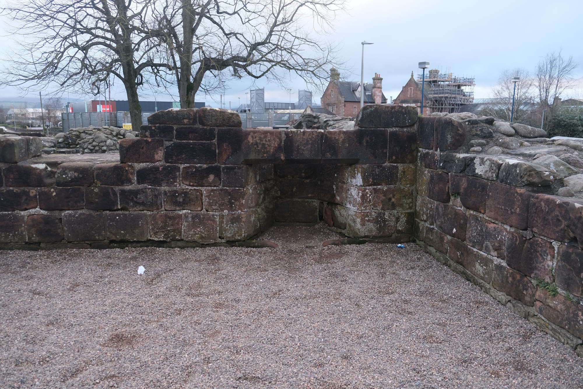
I was also interested in how the castle was constructed. In these images, you can see how the middle of the walls seem to be made with a different material compared to the edges. It looked like the walls were filled with round natural stones while the edges were made from square bricks. I would be fascinated to know how and why they constructed the walls in this way.
After the castle I ate dinner in Penrith before catching the train back to Blackpool.
Even though the day had been cold, cloudy with frequent rain, I still absolutely enjoyed it. This hast to be my best day in England and I am so glad I went, even if the weather wasn't perfect. I learnt how beautiful the national parks in England can be and I hope to return one day and explore this region further, hopefully with better weather.
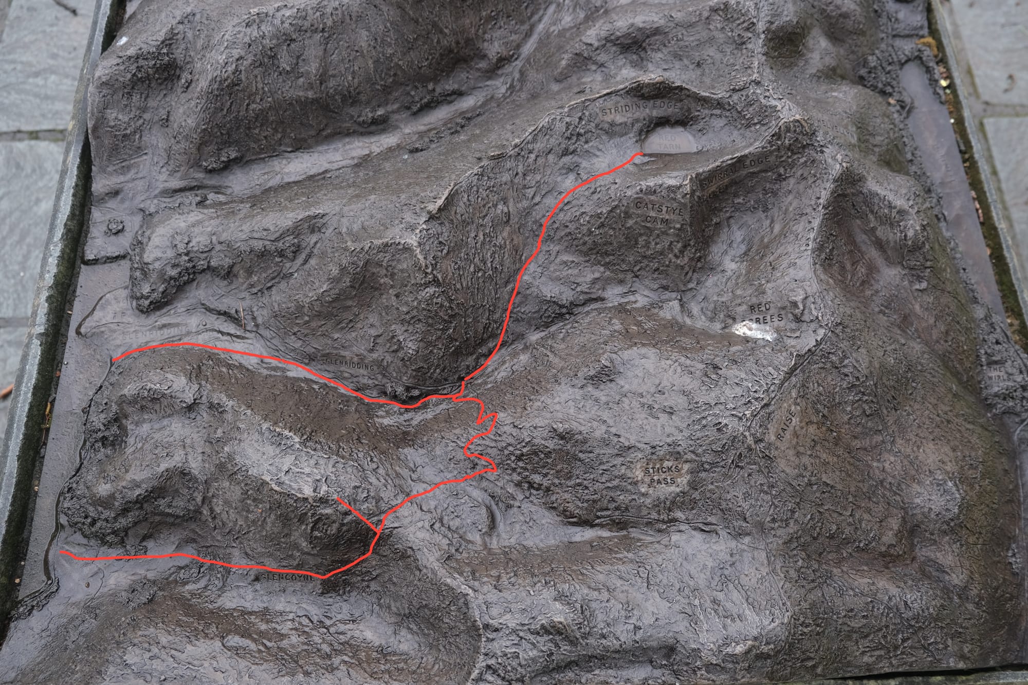
In Glenridding there was a metal relief map showing the surrounding mountains. I have added in a rough estimation of my hiking journey.
Thanks for reading – Edward
Written 31st of March 2024